Baška - Sveti Ivan (Baška)
Starting point: Baška (30 m)
| Latitude/Longitude: | 44,97210°N 14,75600°E |
| |
Walking time: 15 min
Difficulty: easy marked way
Elevation gain: 104 m
Elevation difference along the route: 104 m
Map:
Recommended equipment (summer):
Recommended equipment (winter):
Views: 3.865
 | 2 people like this post |
Access to starting point:
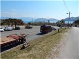
From the Rupa - Rijeka or Zagreb - Rijeka motorway, we drive towards Rijeka, from there following signs for the island of Krk. When the motorway or the fast road in the last section ends, we descend to the Krk Bridge (toll 35 kuna - March 2014), then continue driving towards the towns of Omišalj, Njivice, Malinska, Krk, Punat and Baška. After the town of Punat, which we bypass on the left, the road begins to climb steeply towards the Treskavac pass (Treskavac is a suitable starting point for some hiking tours, including the ascent to the highest peak of Krk - Obzova (569 m)). After the pass, the road begins to descend and is quite winding thereafter, leveling out somewhat only when we reach the valley. We then drive through Drago Bašćansko and Jurandvor, arriving in Baška. When we see signs for the bus parking lot, we turn right and park in the large parking lot (the parking lot is intended for both buses and passenger vehicles). During the summer season, the parking lot is chargeable.
Route description:
From the parking lot, we return to the main road, cross it carefully, then continue towards the church of St. Ivan on a somewhat narrower asphalt road that gradually begins to climb. After a few minutes of ascent, we reach a marked junction, from which we continue on the asphalt road (left to Mesečev plato / planina Mjesec via Zakam junction). A traverse ascent and 2 hairpins follow, and with beautiful views of Baška, the island of Prvić and the hills of Krk, we reach the parking lot below the church of St. Ivan. From the parking lot, we walk to the cemetery, from where a nice view opens up, and from there we can continue to the nearby hill above the church and cemetery.
Photos:
 1
1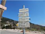 2
2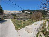 3
3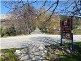 4
4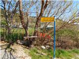 5
5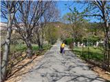 6
6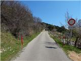 7
7 8
8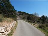 9
9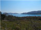 10
10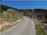 11
11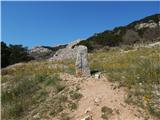 12
12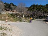 13
13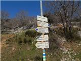 14
14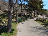 15
15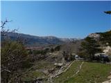 16
16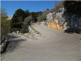 17
17 18
18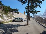 19
19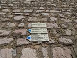 20
20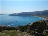 21
21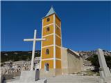 22
22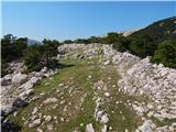 23
23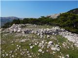 24
24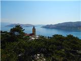 25
25
Discussion about the trip Baška - Sveti Ivan (Baška)
To post a comment you must log in:
If you do not yet have a username, you must first
register.