Bergheimat - Lamnitzsee (Via Scharnik)
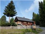
Starting point: Bergheimat (1581 m)
| Latitude/Longitude: | 46,77430°N 13,03416°E |
| |
Route name: Via Scharnik
Walking time: 3 h 45 min
Difficulty: difficult marked way
Elevation gain: 712 m
Elevation difference along the route: 1100 m
Map:
Recommended equipment (summer):
Recommended equipment (winter): ice axe, crampons
Views: 204
 | 1 person like this post |
Access to starting point:
Drive to Irschen (Austria). In Irschen follow the signs for Leppner Alm. The steep and picturesque road passes houses on the steep terrain. The road eventually leads you through the forest. Expect a dusty road in its final kilometers. There is parking at the destination under the hut or guesthouse Bergheimat.
Route description:
Starting from the parking place, follow the dusty road for a few meters, pass the information signs and cross a small bridge. Immediately after the bridge, head left to a steep trail. After a few minutes, the trail joins a dusty road where you should turn right. Shortly after the corner, signposts direct you to a trail in the direction of Scharnik. Follow the trail through the sparse larch forest until the trail connects again with the road. Follow the road for a short section, until well-marked signposts direct you to a trail uphill. The trail leads to Ochsnerhütte at 1810 m.
Behind the Ochsnerhütte, the signs (path 315) show the direction to Scharnik. Follow the path, pass a big cross near the trail and soon after pass a small lake. The trail on grassy terrain leads to the ridge that becomes steeper and rockier, and by the end technically difficult. All difficult places are equipped with fixed steel ropes. After these sections, you will reach the summit. There is a summit cross, a bench, a summit logbook and a stamp for the transverzal Vrhovi prijateljstva.
Follow the west ridge and descend to the Gursgen Törl saddle at 2445 m. Occasionally watch your step since many of the big rocky plates move out of balance once you step there. At the saddle, turn left downhill. At the next junction, follow right (or straight) the signs for Dachskofel and Lamnitzsee.
Follow a scenic walk offering wonderful views of the surroundings. At the junction to the right, follow a short descent to the lake. A few minutes' walk away is Dachskofel mountain.
Recommended return via Ochsnerhütte (1810 m) or via the path through Unteralmhütte (1838 m).

Photos:
 1
1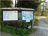 2
2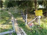 3
3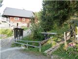 4
4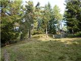 5
5 6
6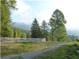 7
7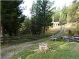 8
8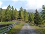 9
9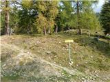 10
10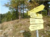 11
11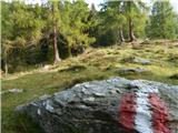 12
12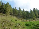 13
13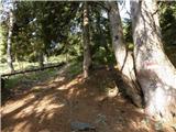 14
14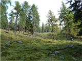 15
15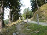 16
16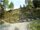 17
17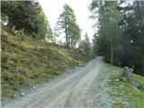 18
18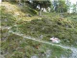 19
19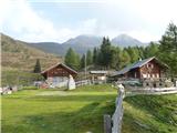 20
20 21
21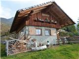 22
22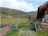 23
23 24
24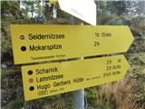 25
25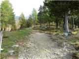 26
26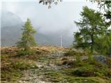 27
27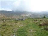 28
28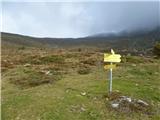 29
29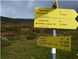 30
30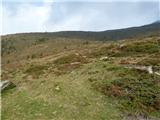 31
31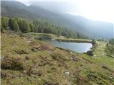 32
32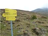 33
33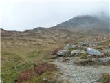 34
34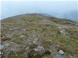 35
35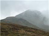 36
36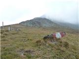 37
37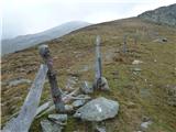 38
38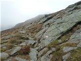 39
39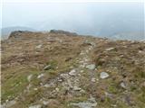 40
40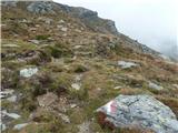 41
41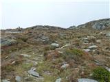 42
42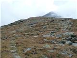 43
43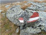 44
44 45
45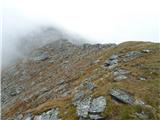 46
46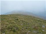 47
47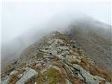 48
48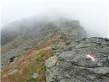 49
49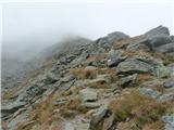 50
50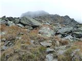 51
51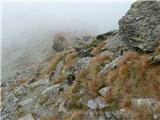 52
52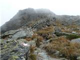 53
53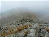 54
54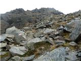 55
55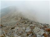 56
56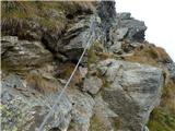 57
57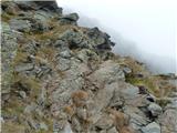 58
58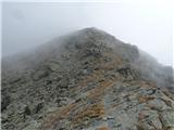 59
59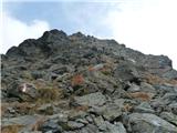 60
60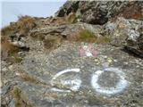 61
61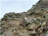 62
62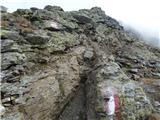 63
63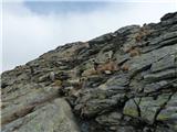 64
64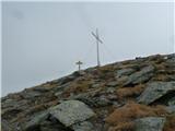 65
65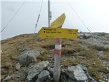 66
66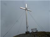 67
67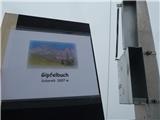 68
68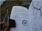 69
69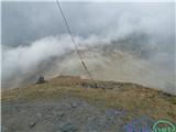 70
70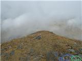 71
71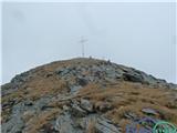 72
72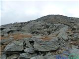 73
73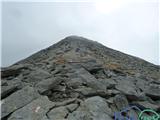 74
74 75
75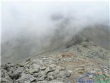 76
76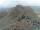 77
77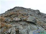 78
78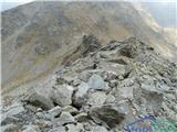 79
79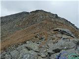 80
80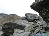 81
81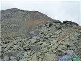 82
82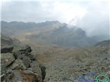 83
83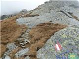 84
84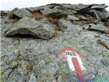 85
85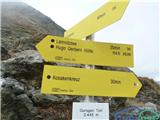 86
86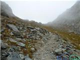 87
87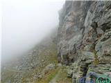 88
88 89
89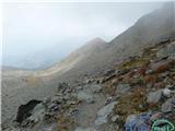 90
90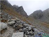 91
91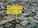 92
92 93
93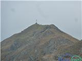 94
94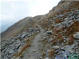 95
95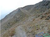 96
96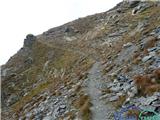 97
97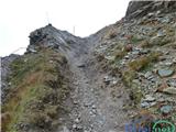 98
98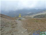 99
99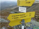 100
100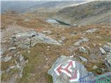 101
101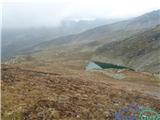 102
102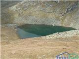 103
103
Discussion about the trip Bergheimat - Lamnitzsee (Via Scharnik)
To post a comment you must log in:
If you do not yet have a username, you must first
register.