Bistra - Koča na Loki pod Raduho
Starting point: Bistra (808 m)
| Latitude/Longitude: | 46,44440°N 14,80720°E |
| |
Walking time: 3 h 15 min
Difficulty: easy marked way
Elevation gain: 726 m
Elevation difference along the route: 975 m
Map: Kamniške in Savinjske Alpe 1:50.000
Recommended equipment (summer):
Recommended equipment (winter):
Views: 7.048
 | 1 person like this post |
Access to starting point:
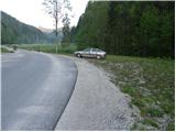
First, we drive to Črna na Koroškem (we can get here from Mežica or from Šoštanj and Velenje through the mountain pass Spodnje Sleme), then we continue driving towards Logarska dolina, Solčava, Pristava and Podpeca. In Pristava we go left and continue driving towards the dispersed settlement Bistra. After a good 3 km of driving from Pristava, we will notice a chapel by the road, behind which we will come to a smaller crossroad, by which we notice hiking signposts for Raduha. We park at a suitable place by the crossroad.
Route description:
From the starting point, we head onto an ascending and initially still asphalted road in the direction of the mountain hut Koča na Loki and Raduha. The asphalt ends already after a few steps, and we continue the path on a macadam road, which we follow to a smaller crossroad, where slightly to the right, over a grazing fence, a narrow road branches off. We continue on the mentioned right road, which immediately after a smaller wooden cottage turns into a cart track, along which we walk to the edge of the forest.
Here the blazes direct us into the forest onto a footpath, which further moderately ascends along a cart track. Higher up, the path takes us out of the forest onto a larger clearing, where we bypass another cottage on the left side. The path ahead returns to the forest, crosses a forest road and then ascends along the stream. After a few minutes of walking along the stream, the path turns right and gradually moves away from the streambed. Higher up, the path turns even a bit more to the right, crosses a few short viewpoints, then turns left, where after a few minutes of further walking it brings us to a forest road.
We continue in the direction of Raduha and proceed along a gentle and increasingly worse forest road. We continue along the road for quite some time, then it brings us to the mountain pasture Knezova planina (also mountain pasture Bela peč), on the edge of which we arrive at a marked junction.
At the junction we continue right (left to Koča na Travniku, Travnik, Komen and Smrekovec) in the direction of Koča na Loki and continue past a smaller landmark into the forest. The path ahead moderately ascends through a belt of dense forest and quickly brings us to the pass Bela peč, where over a grazing fence we step onto the Štajerska side. We continue on the marked path, which gradually begins to descend and after a short descent brings us to the mountain pasture Vodol, where we step onto a macadam road. We follow the road to the right, but walk only a few meters along it, as the signs for Koča na Loki then direct us left onto a footpath that ascends transversely along the upper edge of the pasture. The path ahead enters the forest, where it then transversely ascends for quite some time. Higher up we step out of the forest, and the path quickly brings us to the shepherd huts on the mountain pasture Javorje.
On the other side of the pasture we step onto a worse forest road, along which we begin to descend more noticeably. After a short descent we notice the blazes, which direct us right into the forest, through which in a few minutes of further descent we descend to the mountain hut Koča na Loki pod Raduha.

Photos:
 1
1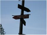 2
2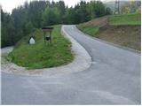 3
3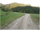 4
4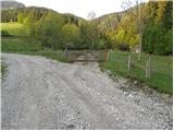 5
5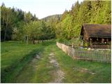 6
6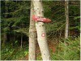 7
7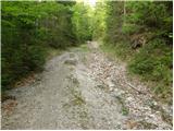 8
8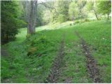 9
9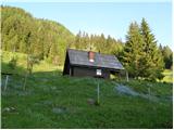 10
10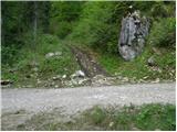 11
11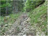 12
12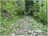 13
13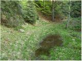 14
14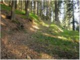 15
15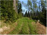 16
16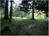 17
17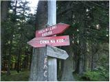 18
18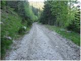 19
19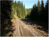 20
20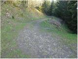 21
21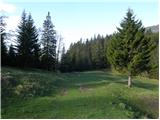 22
22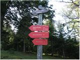 23
23 24
24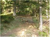 25
25 26
26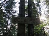 27
27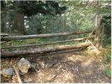 28
28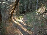 29
29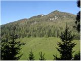 30
30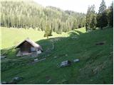 31
31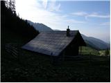 32
32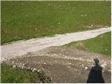 33
33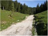 34
34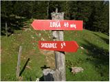 35
35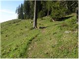 36
36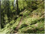 37
37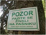 38
38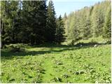 39
39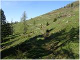 40
40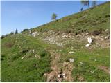 41
41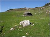 42
42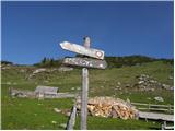 43
43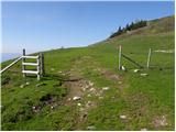 44
44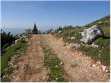 45
45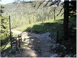 46
46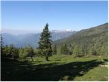 47
47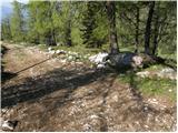 48
48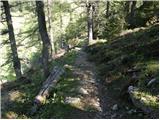 49
49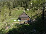 50
50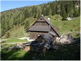 51
51
Discussion about the trip Bistra - Koča na Loki pod Raduho
To post a comment you must log in:
If you do not yet have a username, you must first
register.