Bleiberg Kreuth (Wurzach) - Dobratsch / Dobrač
Starting point: Bleiberg Kreuth (Wurzach) (931 m)
| Latitude/Longitude: | 46,62420°N 13,64070°E |
| |
Walking time: 4 h
Difficulty: easy marked way
Elevation gain: 1235 m
Elevation difference along the route: 1260 m
Map:
Recommended equipment (summer):
Recommended equipment (winter): ice axe, crampons
Views: 15.034
 | 1 person like this post |
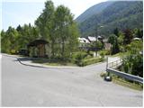
Access to starting point:
Over the border crossing Korensko sedlo, we descend into Austria and when we reach the main road Trbiž / Tarvisio - Beljak / Villach, we continue left towards Trbiž. We follow the main road to the settlement Ziljica / Gailitz, and there at the roundabout, we turn onto the road towards the settlement Šmohor / Hermagor. From the roundabout, we drive on the road towards Šmohor approximately 11 km, and then signs for Plajberk pri Beljaku / Bad Bleiberg direct us to the left. Further, we drive through the underpass and the road brings us to the center of the settlement Čajna / Nötsch im Gailtal, from where we continue driving towards Plajberk pri Beljaku. Further, we drive on an ascending road, on which past a quarry we quickly arrive at the settlement Bleiberg Kreuth. According to the road signs, the settlement ends, and after a few 100 m it starts again. When we drive into Bleiberg Kreuth for the second time, we will be only a few meters behind the road sign, more precisely opposite the entrance to the mine and just before the bus stop, we turn right towards the hamlet Wurzach (on the sign Wurzach 895 m and signs for Dobrač / Dobratsch). We drive into the mentioned village and before the purple house we turn right, then at the house with no. 14 left. Further, we drive past a few more houses, and then at the next intersection we continue straight (slightly right). Just a little after the "last" house in the village, we arrive at a ramp which prevents further driving. We park in an appropriate place a few meters before the ramp.
Route description:
Right in front of the ramp, signs for the saddle Tor and the peak Dobrač direct us to the left onto a footpath that ascends through a strip of forest. After a few minutes of ascent, we return to the road, on which we continue the ascent for some time. At first, some views open up on the old mining valley and the Erzberg ridge, then the road turns slightly right and brings us along an indistinct valley to a smaller spring. Here we leave the road and continue the ascent on a mountain path that moderately ascends along the spring, then a little before the saddle Tor it crosses the road on which we ascended for some time.
We continue across a swampy clearing, where along its upper edge we encounter a nicely arranged trough with water. We continue the path into the forest, through which we then gently ascend for quite some time, while most of the time crossing the slopes to the right. Higher, we cross a torrent gully and just a little higher a poor forest road, and then we join the marked path from Rut / Hermsberg.
The path ahead starts to ascend steeply, and occasionally nice views open up on the Gail Valley and the Gailtal Alps. Higher, the path flattens and crosses the slopes to the right. Further, we cross a pasture fence, and the path brings us a few minutes later to a smaller unmarked junction, where an unmarked path branches off to the right to the nearby hunting hut, and we continue slightly left on the path that starts to ascend more steeply in zigzags. During the ascent, the forest starts to thin, and the quite steep path brings us into a strip of dwarf pines, where it turns right and gradually flattens. We continue the ascent on an increasingly scenic path (view of Mangart, Jalovec, Kanin, Viš, Montaž, Gail Valley, Gailtal Alps...), which mostly crosses the slopes to the right. The path ahead leads us over some gullies that can still be under snow in early summer, and again a steeper path brings us to the side ridge of Dobrač, where a small cross stands.
When we reach the ridge, we continue left and continue the ascent on an initially moderately steep, higher very steep path, which in the upper part also crosses some very steep slopes, where there is especially a risk of slipping when wet.
When we ascend diagonally across the steep slope, we already see the Slovenian church on Dobrač ahead of us, to which only a few steps remain.
From the church, we walk in a few steps to the nearby summit, from there we can reach the German church and the Ludwig Walter-Haus hut in a few minutes.

Along the route: Tor (1140m)
Photos:
 1
1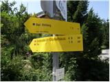 2
2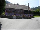 3
3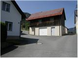 4
4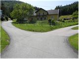 5
5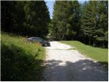 6
6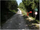 7
7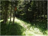 8
8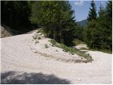 9
9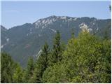 10
10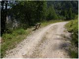 11
11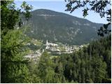 12
12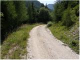 13
13 14
14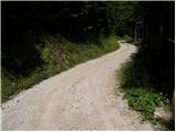 15
15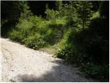 16
16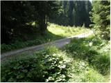 17
17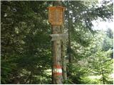 18
18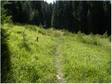 19
19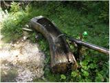 20
20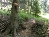 21
21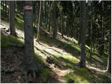 22
22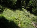 23
23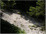 24
24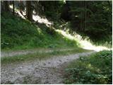 25
25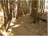 26
26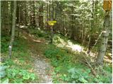 27
27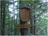 28
28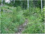 29
29 30
30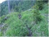 31
31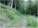 32
32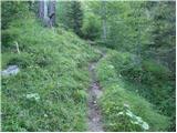 33
33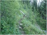 34
34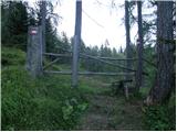 35
35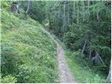 36
36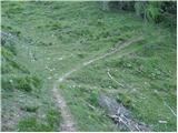 37
37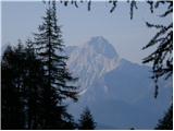 38
38 39
39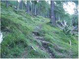 40
40 41
41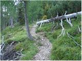 42
42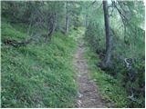 43
43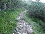 44
44 45
45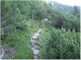 46
46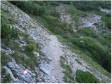 47
47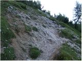 48
48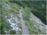 49
49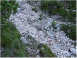 50
50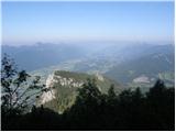 51
51 52
52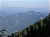 53
53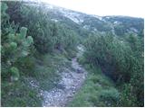 54
54 55
55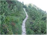 56
56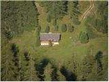 57
57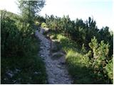 58
58 59
59 60
60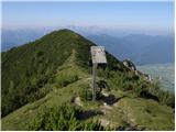 61
61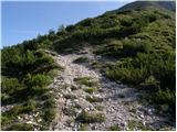 62
62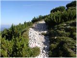 63
63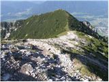 64
64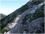 65
65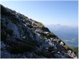 66
66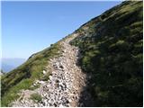 67
67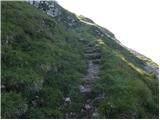 68
68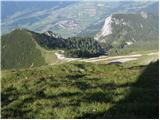 69
69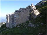 70
70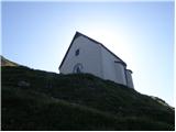 71
71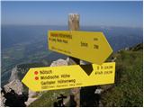 72
72 73
73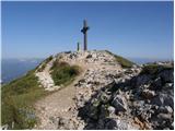 74
74 75
75 76
76 77
77 78
78
Discussion about the trip Bleiberg Kreuth (Wurzach) - Dobratsch / Dobrač
To post a comment you must log in:
If you do not yet have a username, you must first
register.