Bordano - Monte San Simeone
Starting point: Bordano (230 m)
| Latitude/Longitude: | 46,31659°N 13,10030°E |
| |
Walking time: 3 h 45 min
Difficulty: easy marked way
Elevation gain: 1275 m
Elevation difference along the route: 1280 m
Map: Tabacco 13 / 20, 1:25.000
Recommended equipment (summer):
Recommended equipment (winter): ice axe, crampons
Views: 2.070
 | 1 person like this post |
Access to starting point:
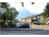
A) From Gorenjska: after the border crossing we drive through Trbiž and further on the highway through Kanalska dolina, past Možac (Moggio) to the exit Carnia (Tolmezzo), where we continue driving in the direction of Videm to Pušja vas (Venzone). In the center of the settlement a signpost directs us across the bridge over the river Tilment to Pioverne, from here on the local road we soon arrive in Bordano, we follow the main street, we park right next to the bus stop.
B) From Primorska: after the border crossing (Trst / Nova Gorica) we drive on the highway past Videm in the direction of Trbiž to the exit Humin (Gemona del Friuli). On the main road a signpost directs us across the bridge over Tilment to the settlement Braulins, where we continue right towards Bordano and Interneppo. Before the end of the settlement, we turn right back, where we park.
Route description:
From the parking lot at the bus stop we head right onto the ascending road, at the end of which our path begins. After short stairs and a bridge over the ditch it leads us into the forest, where it soon starts to ascend in short zigzags. After approximately 150 meters of elevation we arrive at a clearing, where at the intersection we continue straight (left the "butterfly path", Sentiero delle farfalle, continues). After crossing the mountain road it again starts to ascend in approximately the same rhythm, several times briefly crossing the forest road as well. After a further 150 meters of elevation it starts traversing towards the east, becomes somewhat more demanding, at exposed passages over gullies on a short section secured also with a steel cable. After some time we arrive at the votive chapel, soon after we step onto the main road again, where at the bend a nice viewpoint with the Marian chapel awaits us. The path follows the road upwards for a few meters, then steeply ascends again after initial stairs, after which it crosses it several times. Upon reaching the edge of the plateau (altopiano M. San Simeone) the steepness ends, the path continues along the mountain road, which in an arc past individual houses brings us to the summit part of the panoramic plateau, where the church of St. Simeon stands, renovated after the major earthquake in 1976. It is possible to drive here from the valley, with a turnoff at the pass between Bordano and Interneppo.
The road turns into macadam, which soon brings us into a distinctly karst landscape with predominantly beech forest. After a few minutes the path turns right into an ascending valley, also becoming somewhat harder to follow. The direction remains the same all the way to the top.

Along the route: cerkvica San Simeone (1200m)
Photos:
 1
1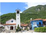 2
2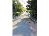 3
3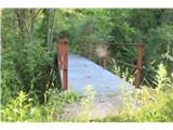 4
4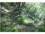 5
5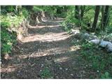 6
6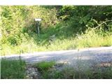 7
7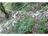 8
8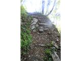 9
9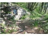 10
10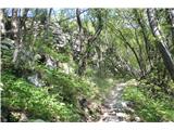 11
11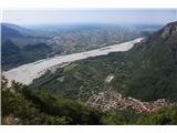 12
12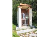 13
13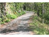 14
14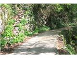 15
15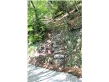 16
16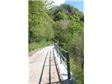 17
17 18
18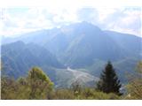 19
19 20
20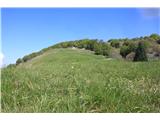 21
21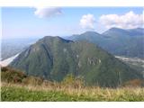 22
22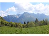 23
23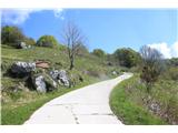 24
24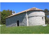 25
25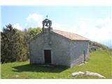 26
26 27
27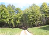 28
28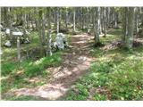 29
29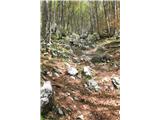 30
30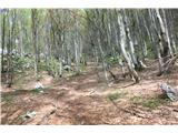 31
31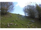 32
32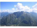 33
33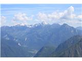 34
34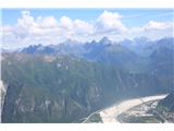 35
35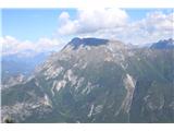 36
36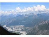 37
37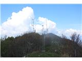 38
38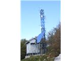 39
39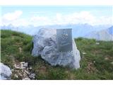 40
40
Discussion about the trip Bordano - Monte San Simeone
To post a comment you must log in:
If you do not yet have a username, you must first
register.