Bučan - Loibler Baba/Košutica
Starting point: Bučan (1010 m)
| Latitude/Longitude: | 46,44630°N 14,25640°E |
| |
Walking time: 2 h 45 min
Difficulty: difficult marked way
Elevation gain: 958 m
Elevation difference along the route: 1040 m
Map: Karavanke - osrednji del 1:50.000
Recommended equipment (summer):
Recommended equipment (winter): ice axe, crampons
Views: 11.103
 | 1 person like this post |
Access to starting point:
From the highway Ljubljana - Jesenice we go to the exit Ljubelj (Tržič), and then we continue driving in the direction of Celovec / Klagenfurt. After the Ljubelj tunnel the road starts descending, and on the Austrian side we follow it to the first left turn, where the old Ljubelj road branches off to the right. We park at a suitable place by the crossroads, or we can also park higher on the Austrian side of the former border crossing Ljubelj.
Route description:
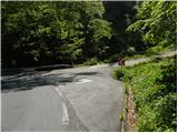
From the starting point, we head onto the old Ljubelj road, which is closed to public traffic by a traffic sign. The road first climbs moderately through two hairpin turns, then continues along the stream to the ruins of the former church of St. Lenart, by which stands a somewhat larger sign. Here the road turns left and gradually moves away from the valley. From the road, nice views then begin to open onto Palec and other surrounding peaks. The road further leads past a smaller junction, where we continue sharply right on the "main" road, then in a moderate ascent we cross steep slopes (danger of falling rocks, or in winter snow avalanches and slips). Higher, the road makes a few more hairpin turns, then brings us to a marked junction, where we continue left where a marked footpath branches off towards Košutica / Loibler Baba. Further along the road it is another 10 minutes' walk to the Koča na Ljubelju.
From the junction we continue on the path through the forest, which mostly ascends and after approximately 30 minutes of walking from the end of the road brings us to the border ridge. The path along the ridge is not overly steep, but the slopes along which we walk are steep, so great caution is needed especially when wet. In places, fixed safety gear and a ladder assist us. The forest then becomes sparser and the path brings us to the pastures of Grunt. Grunt is an indistinct peak on the path along which we walk.
Here the path from the concentration camp joins from the right, and we continue straight along the ridge beside the border fence. The path then brings us to a junction, where the path to Dovjakovo sedlo branches left. From the right, the path from the alpine pasture Korošica joins. We continue straight along the increasingly panoramic ridge. The path then becomes steep, the forest becomes sparser and gradually disappears entirely. Further we ascend along the panoramic ridge, which is quite wide so there is no major danger. The path then ascends through dwarf pines and brings us to the Austrian side. Here we ascend through a short but quite steep gully back to the ridge. Here we step onto steep grass-covered slopes on the Slovenian side (in wet, danger of slipping). After this ascent over the grass we reach the summit somewhat exposed ridge, which we then follow to the top.

Photos:
 1
1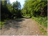 2
2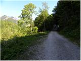 3
3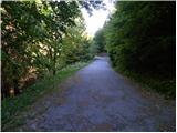 4
4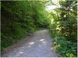 5
5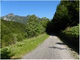 6
6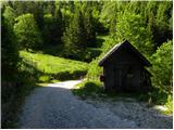 7
7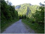 8
8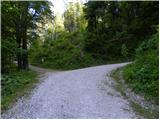 9
9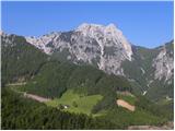 10
10 11
11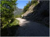 12
12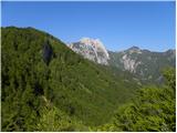 13
13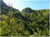 14
14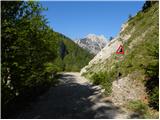 15
15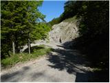 16
16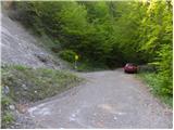 17
17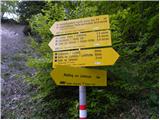 18
18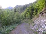 19
19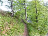 20
20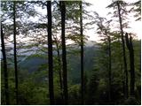 21
21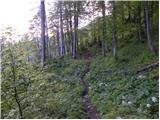 22
22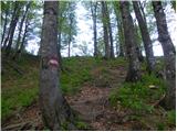 23
23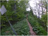 24
24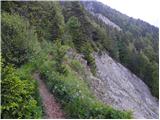 25
25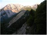 26
26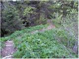 27
27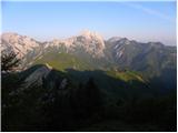 28
28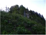 29
29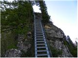 30
30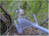 31
31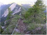 32
32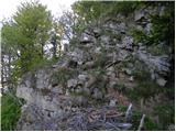 33
33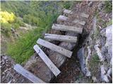 34
34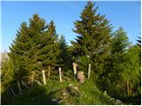 35
35 36
36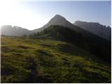 37
37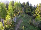 38
38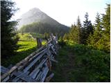 39
39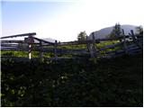 40
40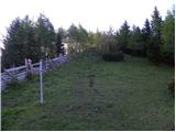 41
41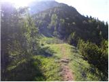 42
42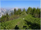 43
43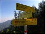 44
44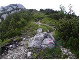 45
45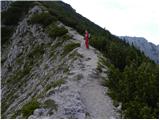 46
46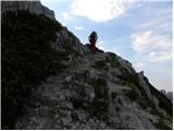 47
47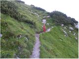 48
48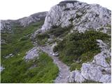 49
49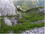 50
50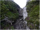 51
51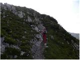 52
52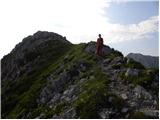 53
53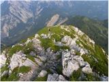 54
54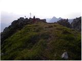 55
55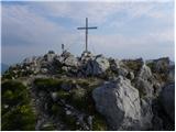 56
56 57
57
Discussion about the trip Bučan - Loibler Baba/Košutica
|
| VanSims10. 06. 2013 |
Warning regarding the footbridge in picture 34 (the only one on the path): Its slats are already quite wobbly and caution is needed, as there is a considerable depth below.
Otherwise, in my opinion, just because of a few wire ropes (which serve more or less only for grip) and one ladder, the path does not deserve the 'difficult' rating.
That upper gully is in my opinion on the Slovenian side of the ridge, at least judging by the border stones.
|
|
|
|
| @rekar11. 06. 2013 |
VanSims, this trail is maintained by Austrians, so don't worry too much about it.
|
|
|
|
| VanSims11. 06. 2013 |
I provided the information to warn people who will go on this trail that they need to be careful there. Who maintains this trail, Austrians or Slovenes, I don't care at all.
|
|
|
|
| grega_p17. 06. 2015 |
That little bridge is gone, only the rope remains for help - but it still goes. Because of that, steep sections and overgrown first part from the road junction, especially in wet, I would easily give it the difficult rating.
|
|
|
To post a comment you must log in:
If you do not yet have a username, you must first
register.