Dom na Goropekah - Vrh Svetih Treh Kraljev
Starting point: Dom na Goropekah (742 m)
| Latitude/Longitude: | 46,03450°N 14,12560°E |
| |
Walking time: 1 h 40 min
Difficulty: easy marked way
Elevation gain: 142 m
Elevation difference along the route: 260 m
Map: Škofjeloško in Cerkljansko hribovje 1:50.000
Recommended equipment (summer):
Recommended equipment (winter):
Views: 3.995
 | 1 person like this post |
Access to starting point:
From Škofja Loka we drive through Gorenja vas to Žiri. In Žiri a sign for the village Goropeke directs us left uphill (if coming from Logatec then right). The road then takes us past the birthplace of Leopold Suhadolčan and soon after enters the forest. When it emerges from the forest it brings us to the village Goropeke, where we continue right past the church. A little further the road has another intersection, where we continue on the left upper road, which quickly brings us to the parking lot in front of Dom na Goropekah.
Route description:
We bypass the hut on the left side, then soon turn slightly left from the road onto a footpath indicated by the mountain direction sign. We ascend through the forest for a few minutes, then the path levels out and gradually begins to descend as well. Lower down we reach a homestead, where we also step onto the road, but we follow it to the left, and on it we descend for a short time more. A gentle ascent follows, then we reach the hamlet Log, where a marked junction is located behind the houses.
We continue left in the direction of the footpath, but to the hamlet Na Krogu we continue on a gentle and scenic gravel road. Among the houses we continue slightly to the left, then continue on a cart track that leads us through a meadow into the forest. We walk through the forest for some time, then reach a gravel road, which we follow to the hamlet V dolini, where we descend to the asphalt road.
We follow the road to the left, but when we enter the forest, we continue left from the road onto a marked and passable, somewhat more overgrown path, which soon returns to the road. The road then leads us past a chapel, the Petrač joinery, where we turn right, then we also pass the fire station (a little before the fire station the marking points left, but directs onto the path towards Lavrovec or Smrečje). After the fire station we ascend in two hairpin bends, then with beautiful views we continue to the forest, where the Planinska koča na Vrhu Svetih Treh Kraljev stands.
From the hut we continue right onto a footpath in the direction of Vrh Svetih Treh Kraljev. Initially we ascend through a belt of forest, then along the edge of a meadow we reach the asphalt road, on which we ascend past a chapel and with increasingly beautiful views to the church on the scenic summit.

Photos:
 1
1 2
2 3
3 4
4 5
5 6
6 7
7 8
8 9
9 10
10 11
11 12
12 13
13 14
14 15
15 16
16 17
17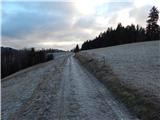 18
18 19
19 20
20 21
21 22
22 23
23 24
24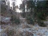 25
25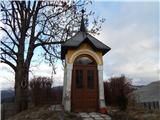 26
26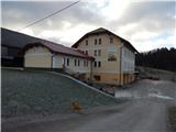 27
27 28
28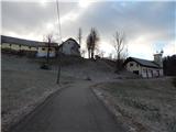 29
29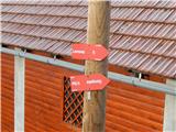 30
30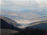 31
31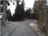 32
32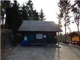 33
33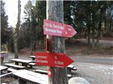 34
34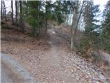 35
35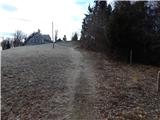 36
36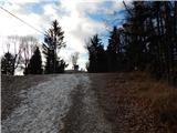 37
37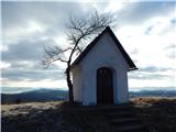 38
38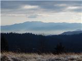 39
39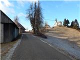 40
40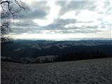 41
41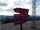 42
42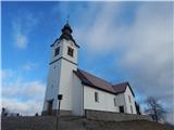 43
43 44
44 45
45
Discussion about the trip Dom na Goropekah - Vrh Svetih Treh Kraljev
|
| Isonja10. 08. 2021 11:01:00 |
We did this trip in August 2021. The description mostly matches, at the hamlet where it mentions you might encounter fierce dogs, there are no more, at least we didn't notice them and could pass the houses undisturbed. They do have dogs at the previous hamlet, but they are friendly, just bark a little in greeting. We warn about the section described "The path continues up across the meadow and then back into the forest. The path soon brings us to a gravel road, where we continue left." Approximately in the middle of the path through the forest, the trail branches left from the wider path. There is a marking here, but poorly visible, so you can go astray, as we did. We did reach the described gravel road, but there were no more markings there. We turned left and got back to the marked path, but did a bit more path than necessary. Overall, it's a nice trip.
|
|
|
To post a comment you must log in:
If you do not yet have a username, you must first
register.