Dom pod Storžičem - Mala Poljana (footpath)
Starting point: Dom pod Storžičem (1123 m)
| Latitude/Longitude: | 46,35860°N 14,39060°E |
| |
Route name: footpath
Walking time: 1 h
Difficulty: easy marked way
Elevation gain: 202 m
Elevation difference along the route: 202 m
Map: Karavanke - osrednji del 1:50.000
Recommended equipment (summer):
Recommended equipment (winter): ice axe, crampons
Views: 7.927
 | 1 person like this post |
Access to starting point:
From the Ljubljana–Jesenice motorway, take the Ljubelj (Tržič) exit, then continue driving towards Ljubelj. Just before the petrol station in Bistrica pri Tržiču, leave the main road and continue right towards Tržič. Then drive through Tržič towards Dolžanove soteske, then at the end of the town continue right towards Loma pod Storžičem and Grahovš. At the end of Grahovše village the asphalt ends, and we follow the gravel road towards Dom pod Storžičem. This gravel road, steeper in the upper part, we follow to the parking lot near Dom pod Storžičem.
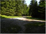
Route description:
From the starting point near Dom pod Storžičem continue briefly along the road (direction Storžič), then turn onto the parallel hiking path, which gently ascends along the edge of the meadow. At the upper part of the meadow, arrive at a small wooden hut, where the path splits into two parts. We choose the slightly right path (left Storžič through Žrelo and across Škarjev rob), which continues along and on a relatively steep cart track. The path higher up levels out somewhat and turns right. Then ascend transversely to the right for some time, then arrive at the edge of a steep gully, across which ascend transversely to the nearby wide cart track, reaching it just at its end. Immediately leave the mentioned cart track and continue the path slightly left into the forest. Continue through the forest for some time along the path, which gently descends for a while, then arrive at a small junction, from where continue towards Mala Poljana.
From the junction onwards the path ascends again, constantly crossing the slopes to the right. Higher up reach a cart track along which quickly walk to the nearby Mala Poljana.
Starting point - Planina Jesenje 0:05, Planina Jesenje - Mala Poljana 0:55.

Along the route: Planina Jesenje (1137m)
Photos:
 1
1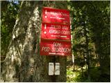 2
2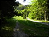 3
3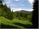 4
4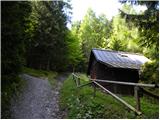 5
5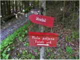 6
6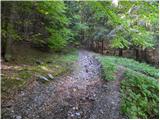 7
7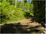 8
8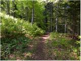 9
9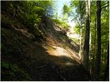 10
10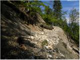 11
11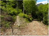 12
12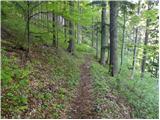 13
13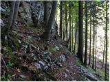 14
14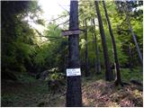 15
15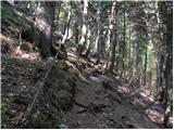 16
16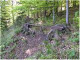 17
17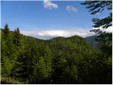 18
18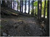 19
19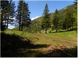 20
20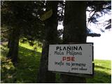 21
21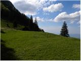 22
22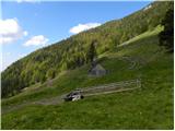 23
23
Discussion about the trip Dom pod Storžičem - Mala Poljana (footpath)
|
| Lucy2. 07. 2012 |
Hello! I'd like to praise the staff at Mala Poljana; they are very friendly, quick service. Path very easy/simple. Whole time through forest. Super trip. We'll come again.
|
|
|
To post a comment you must log in:
If you do not yet have a username, you must first
register.