Dom v Iškem Vintgarju - Sveti Lenart (Krvava Peč)
Starting point: Dom v Iškem Vintgarju (360 m)
| Latitude/Longitude: | 45,91180°N 14,49930°E |
| |
Walking time: 3 h
Difficulty: partly demanding marked way
Elevation gain: 445 m
Elevation difference along the route: 700 m
Map:
Recommended equipment (summer):
Recommended equipment (winter): ice axe, crampons
Views: 10.108
 | 2 people like this post |
Access to starting point:
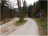
We drive onto the southern Ljubljana bypass and head for the Ig exit. At intersections we then follow the road towards Ig. At Ig we continue towards Iška vas (we can also reach this point from Podpeč or Škofljice). We then follow the well-marked road to the large parking area near Dom v Iškem Vintgarju.
Route description:
Notice about path change: At the starting point we do not continue past the mountain hut, but cross the Iška river via the bridge right at the beginning, still before Dom v Iškem Vintgarju, where signs direct us towards Krvava peč. We then continue along the left bank of the water. Due to exposed and slippery sections, walking is not recommended in wet or damp weather.
From the parking area we continue straight along the road, which after a few steps brings us to Dom v Iškem Vintgarju. We proceed along the road closed to traffic that runs parallel to the Iška stream. After a few minutes of walking we reach the bridge over the Iška. Here we leave the wide walking path and turn left across the bridge, after which the path enters the forest and ascends briefly. A gentle descent follows along a slightly exposed ledge where there is a risk of slipping when wet. The path then levels out and crosses a meadow, after which it soon brings us to the Iška (we can also reach this point along the right side, but at the end we must wade through water). The path turns slightly left and begins to ascend. Several short descents and ascents follow until a somewhat more demanding but secured passage, after which we reach a steep rocky pillar that forms a kind of summit of the Iški Vintgar gorge. The path then begins to descend again and leads us to Votli kamen, which is only a minute from the path.
Further on the path leaves the forest and continues onto steep but well-secured slopes. The path ascends again and then, in the middle of a descent, brings us to a junction where we continue along the lower right path, which in a few minutes leads to the confluence of the Zala and the Iška. Here we notice a stone pillar reached by a path that crosses the water twice via a narrow bridge.
From here we return to the junction and now follow the path towards Krvava peč. The path begins to ascend steeply, but the climb does not last long. For the most part the path ascends transversely through the forest (with the exception of several short descents). After two and a half hours of walking the path comes very close to a forest road. We continue along a track that descends gently parallel to the road. After a few dozen steps of descent we reach a sharp bend in a poorer road, where we continue left uphill to the point where we join a gravel road. We then continue right along the road, which soon becomes asphalted and leads us to the registration box located by one of the houses in the village. A few more steps of descent follow to a junction, where we continue straight towards Sveti Lenart. We then ascend along the road, which past a well brings us to the next junction. Here we continue right and follow the road in the direction of Sveti Lenart all the way to the summit on which stands the church of the mentioned saint.

Photos:
 1
1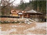 2
2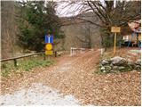 3
3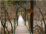 4
4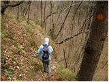 5
5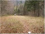 6
6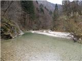 7
7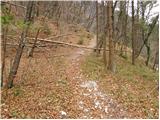 8
8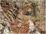 9
9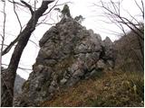 10
10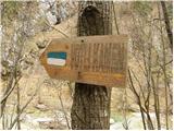 11
11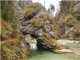 12
12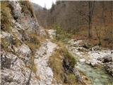 13
13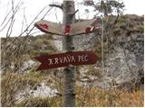 14
14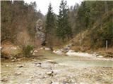 15
15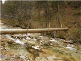 16
16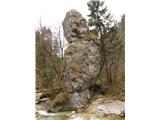 17
17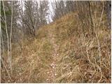 18
18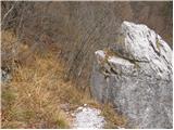 19
19 20
20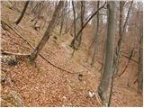 21
21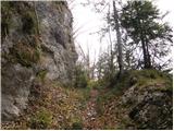 22
22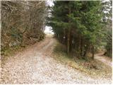 23
23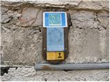 24
24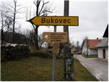 25
25 26
26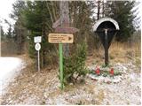 27
27 28
28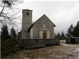 29
29
Discussion about the trip Dom v Iškem Vintgarju - Sveti Lenart (Krvava Peč)
|
| zajko21. 11. 2016 |
Yesterday from Iški Vintgar to Krvava peč and further to Kurešček. Walking time 5.30 hours, elevation gain 880m. Interesting path along the Iška, especially because of the swollen Iška and numerous small waterfalls from the slopes of Mokrice. The previous day it had rained heavily, as a result waterfalls that are otherwise not there.
|
|
|
|
| Robie24. 11. 2016 |
Nice path but be careful at the start - you need to ford the Iška already before the hut in Iškem Vintgarju. The path goes on the left side of the water - follow the markers. With a bit of luck, chamois will watch you along the path, but they are very shy.
|
|
|
|
| lina125. 09. 2023 07:47:12 |
Interesting and beautiful trail, and also not crowded. At the starting point, you need to cross the bridge right away (even before the Dom v Iškem Vintgarju), where the signs for Krvava Peč are. Then orientation is no problem, it's very well marked, but I advise against hiking in damp weather because it can be very slippery + exposed. For the whole trail we needed a bit more than 3 hours, I'd rate it 3.5.
|
|
|
To post a comment you must log in:
If you do not yet have a username, you must first
register.