Dravograd - Dom na Košenjaku
Starting point: Dravograd (362 m)
| Latitude/Longitude: | 46,58910°N 15,02340°E |
| |
Walking time: 2 h 30 min
Difficulty: easy marked way
Elevation gain: 807 m
Elevation difference along the route: 807 m
Map: Koroška, izletniška karta 1:50.000
Recommended equipment (summer):
Recommended equipment (winter):
Views: 5.583
 | 1 person like this post |
Access to starting point:
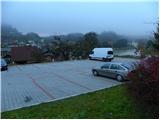
From the highway Ljubljana - Maribor, take the exit Žalec, then continue driving in the direction of Velenje, Mislinja, Slovenj Gradec and Dravograd. When in Dravograd we cross the bridge over the river Drava, we turn left and then park on one of the marked parking lots in the center of Dravograd.
From Maribor, we can get to Dravograd also on the road which winds through the valley of the river Drava.
Route description:
From the center of Dravograd we continue on the main road towards Austria, then after a few tens of meters we notice signs for Ojstrica, which direct us sharply right onto an ascending and still asphalted road. A little further ahead, the marked path splits into two parts. We continue on the right path (the left leads to Košenjak over Goriški Vrh), which continues along the road past numerous houses. A few minutes higher we reach a smaller intersection, where another path to Goriški Vrh branches off to the left (both soon merge), and we again continue on the right path. We continue along the ascending road for some time, then just a few tens of meters after the road makes a sharp right turn, we notice the mountain signpost for Košenjak, which directs us left onto a steep and initially quite rough cart track. Further on, we ascend along the mentioned cart track for quite some time, then it turns into a briefly overgrown footpath, along which we quickly emerge from the forest onto a panoramic meadow. Across the meadow past the hunting observatory we return to the forest, where we again cross a short overgrown section, then walk along an ever-widening cart track to the nearby road. Along the macadam road we continue to a smaller intersection, or to the edge of the forest, where the blazes direct us left onto a poorly visible path that continues along a fenced pasture. Along the edge of the pasture we ascend to the main road leading to the church of St. John the Baptist on Ojstrica, which we follow to the left, leading us across a panoramic slope (nice view towards Peca). We continue along the road for some time, then the blazes direct us right onto a cart track, along which in a few tens of steps we arrive from the forest onto a panoramic slope. Once out of the forest we continue left along the marked path, which immediately returns to a strip of forest through which we ascend to the next pastures. Here we continue left and in a few minutes ascend to the church of St. John the Baptist on Ojstrica.
From the church we continue along the asphalted road in the direction of Košenjak. On the other side of the panoramic pastures, we arrive at the next intersection, where we continue straight ahead (right to sv. Urban) along the road, which loses its asphalt surface. We then continue the ascent for quite some time along a gentle road, which partly runs through the forest and partly across panoramic grassy slopes. After approximately 40 minutes of walking from the church of St. John the Baptist, we will spot the mountain hut Dom na Košenjaku on the right side, with only a short ascent across a grassy slope remaining.

Photos:
 1
1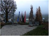 2
2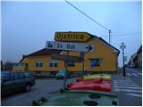 3
3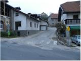 4
4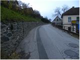 5
5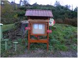 6
6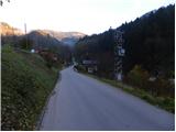 7
7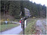 8
8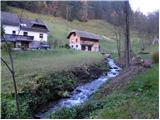 9
9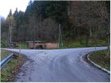 10
10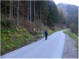 11
11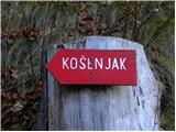 12
12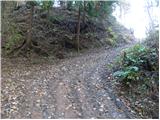 13
13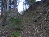 14
14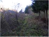 15
15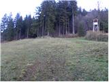 16
16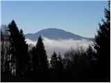 17
17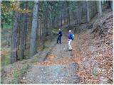 18
18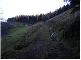 19
19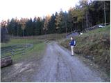 20
20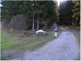 21
21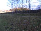 22
22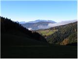 23
23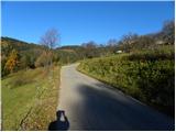 24
24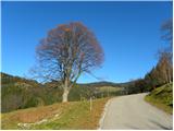 25
25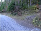 26
26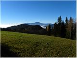 27
27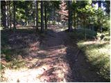 28
28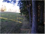 29
29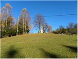 30
30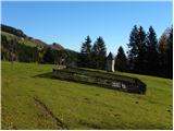 31
31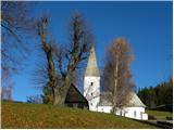 32
32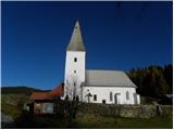 33
33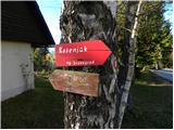 34
34 35
35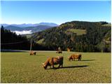 36
36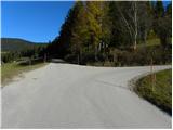 37
37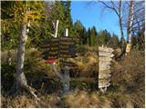 38
38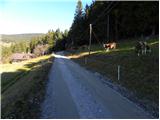 39
39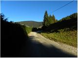 40
40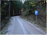 41
41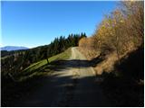 42
42 43
43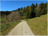 44
44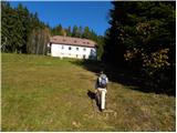 45
45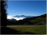 46
46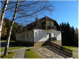 47
47
Discussion about the trip Dravograd - Dom na Košenjaku
To post a comment you must log in:
If you do not yet have a username, you must first
register.