Fiames - Col Rosa (Via Ferrata Ettore Bovero)
Starting point: Fiames (1292 m)
| Latitude/Longitude: | 46,57228°N 12,11735°E |
| |
Route name: Via Ferrata Ettore Bovero
Walking time: 2 h 50 min
Difficulty: extremely difficult marked way
Via ferrata: C/D
Elevation gain: 874 m
Elevation difference along the route: 890 m
Map: Tabacco 03 1:25.000
Recommended equipment (summer): helmet, self belay set
Recommended equipment (winter): helmet, self belay set, crampons
Views: 3.696
 | 3 people like this post |
Access to starting point:
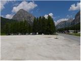
Via the Rateče border crossing we drive to Trbiž / Tarvisio, where we head onto the highway in the direction of Videm / Udine. We leave the highway at the Tolmezzo exit and follow the road to the mentioned settlement. From Tolmezzo we continue in the direction of the settlement Ampezzo and mountain pass Passo della Mauria. The road then starts descending and brings us into the Cadore valley, where we continue right (left Belluno and Cortina d'Ampezzo) in the direction of the settlement Auronzo. After a few additional km of driving, we come to the next major intersection, where we go right in the direction of Misurina (left Tre Croci pass). From here we descend the road to a larger intersection where we continue left towards Cortina d'Ampezzo (right Austria). A few kilometers before Cortina d'Ampezzo we then park on a large parking lot by the hotel Fiames. The parking lot is on the right side of the road, and on the left side we will notice a stadium.
Route description:
From the parking lot at hotel Fiames we continue by the main road or on a footpath by the river Boite in the direction of Cortina d'Ampezzo. After a few hundred meters, we then go right over a bridge to camp Olympia. Here signposts point us right onto path 408, which then leads on a macadam path by the camp. From the path views open up a few times on the nearby Punta Fiammes and on the valley of the river Boite, then the path slightly descends and brings us to a marked junction.
At the junction, we leave the wide macadam path and go left following the signs »Forcella Posporcora, Ferrata E. Bovero«. The path here starts ascending through the forest and after just under an hour of walking brings us to the Posporcora saddle.
At the junction on the saddle we continue right following the signs »Via Ferrata E. Bovero«. Here we start to ascend more steeply below the southwest ridges of the peak Col Rosa and increasingly beautiful views open up towards the Tofane. The path then becomes more demanding and involves some easy scrambling on the unsecured slope. Along the path we will also notice some military trenches from the time of the First World War. Higher up we then enter the secured part of the path, which is short but relatively demanding. Several times we ascend almost vertically along the steel cable, then we reach somewhat less steep slopes below the summit. In the last part a short ascent follows with the aid of a few pegs, then an easier path joins from the left. We continue right and only a short ascent to the summit remains.
We descend along the easier path, which leads along the northern slopes of the mountain.

Along the route: Olympia (1290m), Forcella Posporcora (1720m)
Photos:
 1
1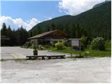 2
2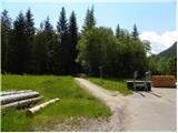 3
3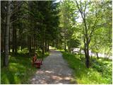 4
4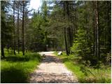 5
5 6
6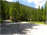 7
7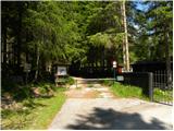 8
8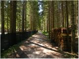 9
9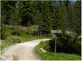 10
10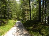 11
11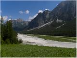 12
12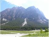 13
13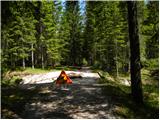 14
14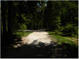 15
15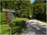 16
16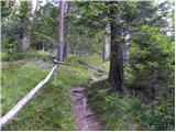 17
17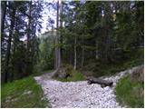 18
18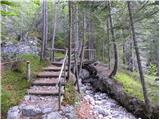 19
19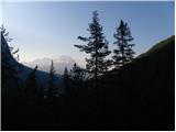 20
20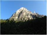 21
21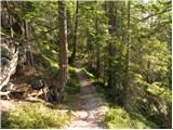 22
22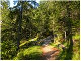 23
23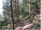 24
24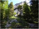 25
25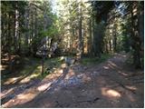 26
26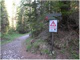 27
27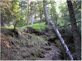 28
28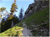 29
29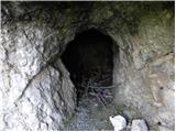 30
30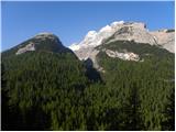 31
31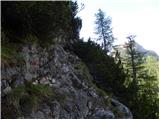 32
32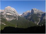 33
33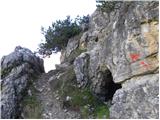 34
34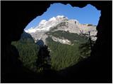 35
35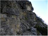 36
36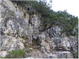 37
37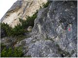 38
38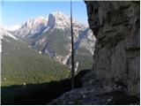 39
39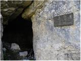 40
40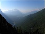 41
41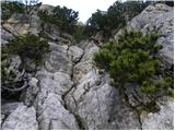 42
42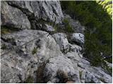 43
43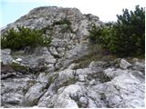 44
44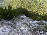 45
45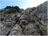 46
46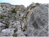 47
47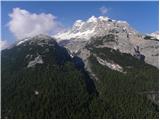 48
48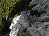 49
49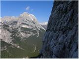 50
50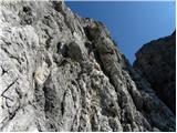 51
51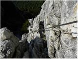 52
52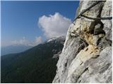 53
53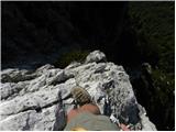 54
54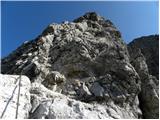 55
55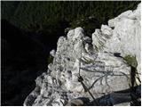 56
56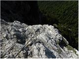 57
57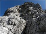 58
58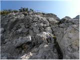 59
59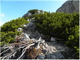 60
60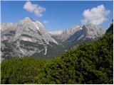 61
61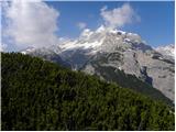 62
62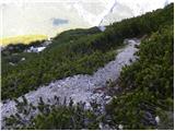 63
63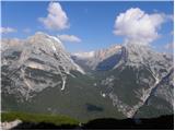 64
64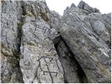 65
65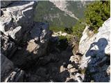 66
66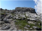 67
67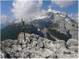 68
68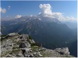 69
69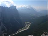 70
70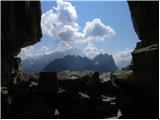 71
71
Discussion about the trip Fiames - Col Rosa (Via Ferrata Ettore Bovero)
|
| VanSims7. 09. 2020 |
The via ferrata is quite demanding, around the difficulty of our Mojstrana (upper middle class). The key section shortly after the start is (though fairly short) a solid D, then another shorter C/D, the rest revolves around B, B/C, C.
Short, but sweet!
|
|
|
To post a comment you must log in:
If you do not yet have a username, you must first
register.