Globasnica / Globasnitz - Wackendorfer Alm
Starting point: Globasnica / Globasnitz (541 m)
| Latitude/Longitude: | 46,55680°N 14,70330°E |
| |
Walking time: 3 h
Difficulty: easy marked way
Elevation gain: 1027 m
Elevation difference along the route: 1027 m
Map: Koroška 1:50.000
Recommended equipment (summer):
Recommended equipment (winter): ice axe, crampons
Views: 3.477
 | 1 person like this post |
Access to starting point:
A) Via the border crossing Jezerski vrh we drive into Austria, then after approximately 6 km past Železno Kaplo / Bad Eisenkappel we turn right towards Velikovec / Völkermarkt. We follow the main road towards Velikovec for 2 km, then we turn right again, this time in the direction of Pliberk / Bleiburg. Further on, we drive through the Podjune valley, then signs for Globasnica / Globasnitz direct us right onto a local road, along which in 2 km of additional driving we arrive in the centre of the village, where we park on a large parking lot. From the border crossing Jezerski vrh to the starting point it is approximately 33 km.
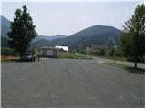
B) From Dravograd or Slovenj Gradec we drive to Ravne na Koroškem, then we continue driving towards the border crossing Holmec. When we enter Austria we first drive towards Pliberk / Bleiburg, then we follow the signs for Globasnica / Globasnitz. After approximately 13 km from the border crossing Holmec we arrive in Globasnica, where we park on a large parking lot near the local church.
Route description:
From the large parking lot in Globasnica we continue towards the end of the village, where we soon join the "main" road which leads almost unnoticeably upwards towards the neighbouring village. When we get to Podroje / Podrain, we continue for a short time on the road which leads towards Podpeci / Koprein Petzen, and then signs with the caption "Wandersteg-Petzen" and "Wackendorfer Alm" point us to the left on a narrower road, on which we quickly get to the "last" house in the village.
At the mentioned house we leave the road and continue the ascent on a grassy cart track which quickly passes into a strip of forest. After a gentle ascent through the forest we get to a strip of bushes and fern, through which we ascend on a usually nicely mowed path. A little higher it joins a macadam road, we follow it to the right and walk along it to a gentle left bend, in the middle of which a marked footpath branches off to the right towards Veška planina / Wackendorfer Alm. After a short ascent, we cross a poorer forest road, then the path passes into a dense forest, through which it starts ascending steeper and steeper. Next follows a long and relatively steep path, which most of the time leads through a dense forest, only occasionally some view opens towards the neighbouring Topica, Junska gora and Obir. Higher, we touch the mountain road which we immediately leave and continue the ascent sharply right on a footpath which continues ascending through the forest. Further we cross a shorter panoramic slope, from which a nice view opens towards Golica and the Podjune valley. The path ahead temporarily returns into the forest, then joins the earlier mentioned road. Some 50 to 100 m we continue on the road, then past a barrier which prevents further driving we arrive at Veška planina.

Photos:
 1
1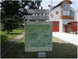 2
2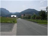 3
3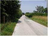 4
4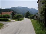 5
5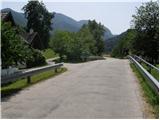 6
6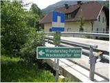 7
7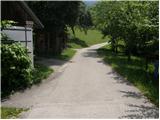 8
8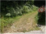 9
9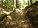 10
10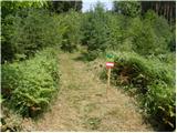 11
11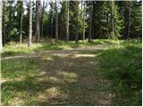 12
12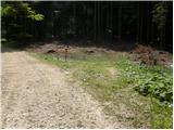 13
13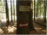 14
14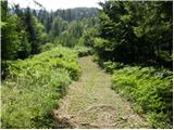 15
15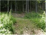 16
16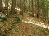 17
17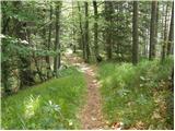 18
18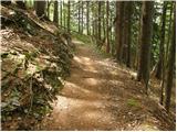 19
19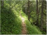 20
20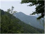 21
21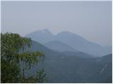 22
22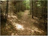 23
23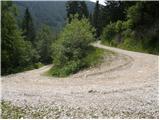 24
24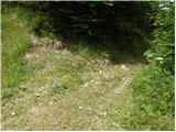 25
25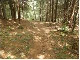 26
26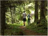 27
27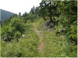 28
28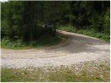 29
29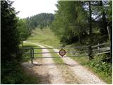 30
30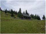 31
31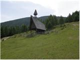 32
32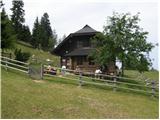 33
33
Discussion about the trip Globasnica / Globasnitz - Wackendorfer Alm
To post a comment you must log in:
If you do not yet have a username, you must first
register.