Gornja Brela (Subotišće) - Sveti Nikola (Planinska pot)
Starting point: Gornja Brela (Subotišće) (255 m)
| Latitude/Longitude: | 43,41000°N 16,91234°E |
| |
Route name: Planinska pot
Walking time: 1 h
Difficulty: easy marked way
Elevation gain: 317 m
Elevation difference along the route: 330 m
Map: Biokovo 1:25.000
Recommended equipment (summer):
Recommended equipment (winter):
Views: 305
 | 2 people like this post |
Access to starting point:
On the Adriatic Highway (D8 road) between Split and Brela, 3 km after the turn-off to Pisak, turn left towards Imotski/motorway.
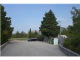
Drive 5 km to Gornja Brela (Subotišće), where at the bus station (on the right) turn left downhill to the cemetery, where we park.
Route description:
We return to the intersection from which we arrived. At the intersection, turn right and continue along the right side of the road for just over 200 m to the point where the mountain sign directs us right uphill along the road.
The asphalt road soon ends and turns into a mountain path, which is also an educational trail equipped with 9 information boards. Traces of bygone times are visible at every step; first we reach the old church of Marije Zdravja, followed by a typical threshing floor, then we pass the old settlement of Klešići, reach the Vodice spring and Mrkore cave, go through the Dubrava forest and arrive at a junction,
where we turn left uphill to the church of Sv. Nikola. On this educational trail there is much to see. Its main hallmark is the unspoiled natural gem, the work of calloused hands of the local inhabitants devoted to their hearth and their constant struggle for sustenance and survival in symbiosis with nature.
This is an easy mountain trail, very well marked. The forest along the path provides pleasant shade in summer.

Photos:
 1
1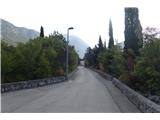 2
2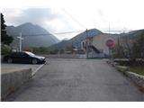 3
3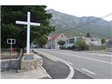 4
4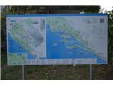 5
5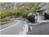 6
6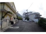 7
7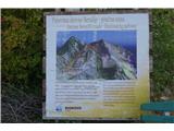 8
8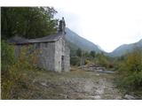 9
9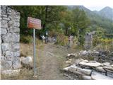 10
10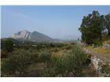 11
11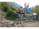 12
12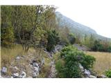 13
13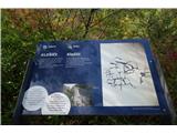 14
14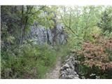 15
15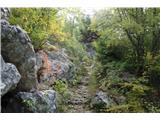 16
16 17
17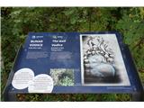 18
18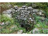 19
19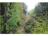 20
20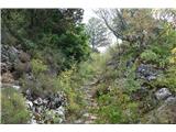 21
21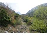 22
22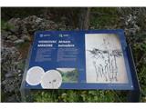 23
23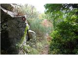 24
24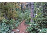 25
25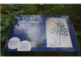 26
26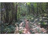 27
27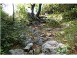 28
28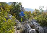 29
29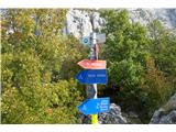 30
30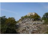 31
31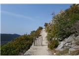 32
32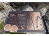 33
33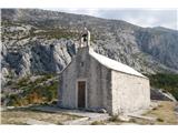 34
34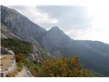 35
35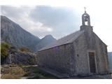 36
36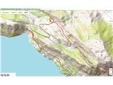 37
37
Discussion about the trip Gornja Brela (Subotišće) - Sveti Nikola (Planinska pot)
To post a comment you must log in:
If you do not yet have a username, you must first
register.