Gradišče pri Vipavi - Gradiška Tura (via Plaz)
Starting point: Gradišče pri Vipavi (250 m)
| Latitude/Longitude: | 45,83230°N 13,97100°E |
| |
Route name: via Plaz
Walking time: 2 h
Difficulty: easy marked way
Elevation gain: 504 m
Elevation difference along the route: 620 m
Map: Nanos 1:50.000
Recommended equipment (summer):
Recommended equipment (winter): ice axe, crampons
Views: 12.051
 | 2 people like this post |
Access to starting point:
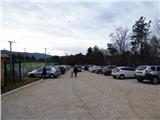
From Razdrto we drive on the highway towards Nova Gorica or vice versa and head for the Vipava exit. We follow the road ahead towards Vipava and Gradišče. In the village Gradišče we notice the first mountain signposts, which we follow to a larger parking lot by Camp Tura above the village Gradišče.
Route description:
From the parking lot, we return to the road where we head slightly left where the signs direct us to Plaz and Škavnica. We descend a few meters along the asphalt road and then the signpost for Plaz and Abram directs us right onto a footpath. The path starts to ascend and then leads us past some vineyards. Further on, we then ascend for quite some time through low forest towards the north and follow the signs for Plaz and Abram. Occasionally the forest thins out a bit and a nice view opens up on the Vipava valley and surrounding peaks. Slightly higher up, the path brings us to a small plain below the summit of Plaz where there is a marked junction, and by the path there is also a table and some benches.
Left is only a short ascent to the summit of Plaz, while we continue right where the signs direct us to Škavnica and Nanos-Abram. We soon reach another junction where a path branches left into the valley towards Vipava; we keep to the right and follow the signs for Abram and Škavnica. Further on, we continue slightly ascending through the forest for some time, then another branch of the path from Vipava joins from the left.
We continue right again and then begin to ascend a shade more steeply. Slightly higher up, a narrower path branches left uphill to Škavnica, which is about 15 minutes of steeper ascent away. At this junction we continue straight on the wider and better-trodden path. The relatively wide path soon brings us to a chapel (694 m), where there is also a small bench as well as a visitors' book and stamp.
A little after the chapel is a junction, where we continue right on the cart track following the signs »Gr. Tura«; left the path leads towards Nanos. Further on, we walk for some time through the forest on the cart track or macadam road, then white arrows and the signpost for Gradiška Tura direct us left onto a narrow trail. We walk for some time on this level trail through the forest, then join another cart track. We continue right along the cart track, which takes us out of the forest for a while onto a pleasant grassy slope. Later the cart track turns into a grassy trail along which we reach another marked junction.
At the junction we continue right towards Gradiška Tura and after a short ascent the path takes us into the forest and crosses a pasture fence. Further on, the path begins to descend gently and through the trees a view towards the summit of Gradiška Tura starts to open up. The path then turns slightly left and after a short descent brings us to a junction near the summit, where an unmarked trail from Gradišče joins from the left (the junction is marked).
From the junction only a very short ascent to the summit follows, from which a very nice view opens up on the Vipava valley.
We can descend along the ascent path, or along the mentioned unmarked trail, or along a somewhat more demanding path that descends from the summit to the south side and runs along a somewhat steeper slope. The south slopes also feature secured climbing paths Furlanova and Otmarjeva pot, which however are not suitable for descent.

Along the route: Kapelica (694m)
Photos:
 1
1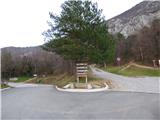 2
2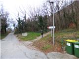 3
3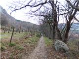 4
4 5
5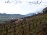 6
6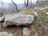 7
7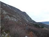 8
8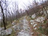 9
9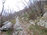 10
10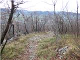 11
11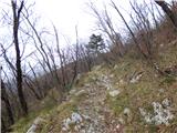 12
12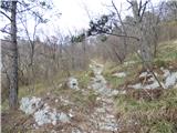 13
13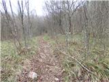 14
14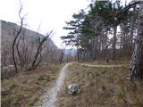 15
15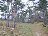 16
16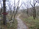 17
17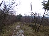 18
18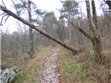 19
19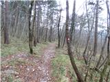 20
20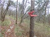 21
21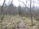 22
22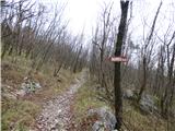 23
23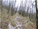 24
24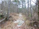 25
25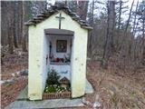 26
26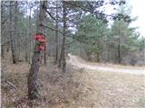 27
27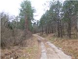 28
28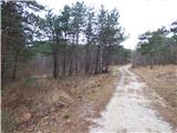 29
29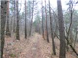 30
30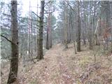 31
31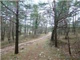 32
32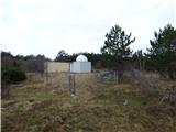 33
33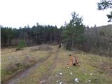 34
34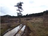 35
35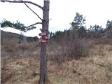 36
36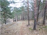 37
37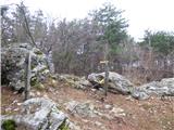 38
38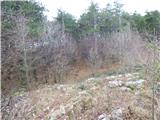 39
39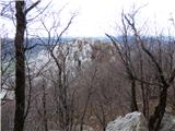 40
40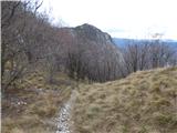 41
41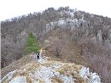 42
42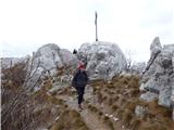 43
43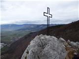 44
44 45
45
Discussion about the trip Gradišče pri Vipavi - Gradiška Tura (via Plaz)
To post a comment you must log in:
If you do not yet have a username, you must first
register.