Gradišče pri Vipavi - Furlanovo zavetišče pri Abramu (Furlan way)
Starting point: Gradišče pri Vipavi (250 m)
| Latitude/Longitude: | 45,83230°N 13,97100°E |
| |
Route name: Furlan way
Walking time: 2 h 30 min
Difficulty: very difficult marked way
Elevation gain: 650 m
Elevation difference along the route: 770 m
Map: Nanos 1:50.000
Recommended equipment (summer): helmet, self belay set
Recommended equipment (winter): helmet, self belay set, ice axe, crampons
Views: 14.355
 | 1 person like this post |
Access to starting point:
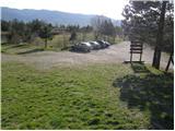
From the Vipava highway, we take the Vipava exit. After leaving the highway, we continue on the old road towards Vipava. Before reaching the town, a marked road branches off to the right towards the village of Gradišče pri Vipavi. We then ascend through the village and follow the signs for Kamp Tura and Gradiška Tura. Once above the village, we reach the mentioned camp and a large parking area where we park.
Route description:
From the parking lot we head onto the path towards Gradiška Tura and Abram. Initially a wide and gentle path quickly leads us to the first junction, where we continue straight (right to St. Miklavž). After a few more steps we reach a scree slope, across which we ascend transversely onto shrub-covered slopes. The path then becomes increasingly steep and soon brings us to the next junction, where we continue left following the signs for "very difficult secured path". Right at the start of the very difficult section we climb almost vertically up a rocky slope secured with pitons and a steel cable. The path then becomes less demanding for a few steps, turns slightly left and then climbs steeply again along the cable to the right upwards. We continue climbing along the cable for some time and soon reach a viewpoint platform located just a few steps left of the path. Next to the platform, from where there is a nice view of the Vipava Valley, there is also a small bench.
From the platform we continue right upwards. The secured path leads us onto an exposed narrow ridge well protected by a steel cable. The path then becomes less demanding and we soon arrive at a junction where an easier path joins from the right. We continue on the path which occasionally still climbs quite steeply. A little below the summit on a rock we notice an interesting verse, after which, after a few steps, we reach the top of Gradiška Tura.
From the summit we continue on the marked path towards Jež. The path turns into the forest where, except for a few initial steps, it descends. After a few minutes of gentle descent we reach a junction where we continue straight towards Abram (left Vipava). The path next leads us across a pleasant meadow surrounded by sparse forest. After the meadow we step onto a road where we continue right again in the direction of Abram. We walk on the road only briefly to the first intersection where we turn sharply left to a house visible on the left side. Here we leave the poorer road and continue right upwards on the marked path. This brings us after a few steps to a cart track which we follow to the right. The path with a few short ascents and descents leads us to the next forest road which we simply cross. A moderate ascent follows, first across a meadow then through the forest to Furlanovo zavetišče pri Abramu.
Gradišče pri Vipavi - Gradiški zatrep 0:05, Gradiški zatrep - odcep Furlanove poti 0:15, odcep Furlanove poti - vrnitev na običajno pot 0:30, vrnitev na običajno pot - Gradiška Tura 0:35, Gradiška Tura - razpotje na planoti 0:10, razpotje na planoti - razpotje Majer 0:25, razpotje Majer - Abram 0:30.

Along the route: Gradiška Tura (286m), Odcep Furlanove poti (385m), Vrnitev na običajno pot (524m), Gradiška Tura (754m), Razpotje na planoti (760m), Majer (830m), Margon (800m)
Photos:
 1
1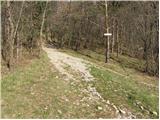 2
2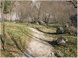 3
3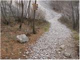 4
4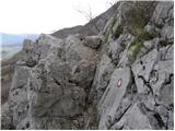 5
5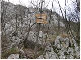 6
6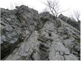 7
7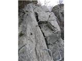 8
8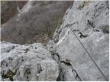 9
9 10
10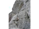 11
11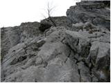 12
12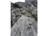 13
13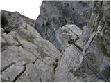 14
14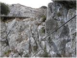 15
15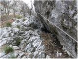 16
16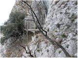 17
17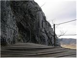 18
18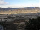 19
19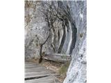 20
20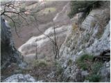 21
21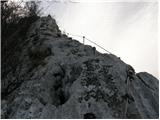 22
22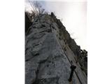 23
23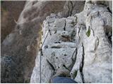 24
24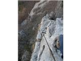 25
25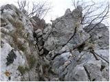 26
26 27
27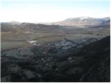 28
28 29
29 30
30 31
31 32
32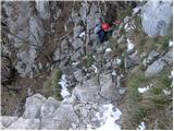 33
33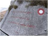 34
34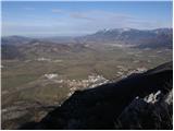 35
35 36
36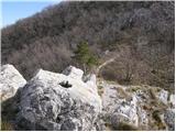 37
37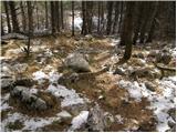 38
38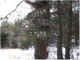 39
39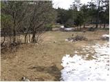 40
40 41
41 42
42 43
43 44
44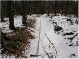 45
45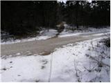 46
46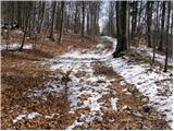 47
47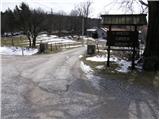 48
48 49
49 50
50
Discussion about the trip Gradišče pri Vipavi - Furlanovo zavetišče pri Abramu (Furlan way)
|
| NEIC0084. 03. 2013 |
Is there still any snow on the path to Furlanovo zavetišče? 
|
|
|
|
| mirjam674. 03. 2013 |
Yesterday there was about 20 cm of it at the chapel, hikers I met who were returning from Nanos say there is still a lot higher up, in drifts up to 2 m.
|
|
|
|
| klemen1255. 04. 2013 |
Today with a colleague we walked and climbed this path. Path dry, safety gear impeccable. On the path to Abram about 20 cm and it's well trodden.
|
|
|
|
| Mira.k24. 10. 2015 |
Today with my husband we did this tour, just the right amount of adrenaline. We returned via Plaz. Excellent weather, only slightly bothered me that at the top it only says for farm tourism not also for the shelter. You can easily miss it. Otherwise it's an excellent tour.
|
|
|
|
| kolesar17. 03. 2016 |
Hello. I'm asking how much snow is still left from Gradišče towards Abram.
|
|
|
|
| mirank17. 03. 2016 |
On Sunday afternoon there was none; otherwise I didn't go to Abram, as I turned right at the first house on the plateau and descended via Konj-I assume there's not much further on either.
|
|
|
To post a comment you must log in:
If you do not yet have a username, you must first
register.