Halmac - Planinarski dom Sveti Gaudent
Starting point: Halmac (55 m)
| Latitude/Longitude: | 44,67090°N 14,38768°E |
| |
Walking time: 2 h
Difficulty: easy marked way
Elevation gain: 219 m
Elevation difference along the route: 270 m
Map:
Recommended equipment (summer):
Recommended equipment (winter):
Views: 589
 | 5 people like this post |
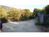
Access to starting point:
From the highway Rupa - Rijeka or Zagreb - Rijeka we drive towards Rijeka, and from there we follow the signs for the island Krk. When the highway, or in the last section the expressway, ends, we descend to Krk Bridge. On the island Krk we then follow the signs for the islands Cres and Lošinj and the ferry port Valbiska. At the mentioned port we then take the ferry to the settlement Merag on the island Cres (126 kunas – July 2020). On the island Cres we then follow the signs for Mali Lošinj. In the settlement Osor, over a smaller bridge, we reach the island Lošinj. We continue to follow the main road; near the settlement Nerezine, a narrow road branches off to the right towards the settlement Halmac. We turn onto the mentioned road, which then ascends and becomes macadam. We follow the road to the last houses, where on the left side of the road there is a smaller parking lot.
Route description:
From a smaller parking lot we continue on the road past the last house, then the road turns into the forest and becomes a footpath. We follow the blazes and the path leads us further along the fence mostly towards the north. Here the path is relatively level and occasionally a view opens up towards the Osoršćica mountain range. We continue walking on the mostly level path and follow the signs for Tržić.
The path then rises slightly a few times and brings us to a junction of several paths. To the right, paths lead into the valley towards the camp Lopari and the settlement Osor; we continue on the far left one and follow the signs for Tržić and Osoršćica. The path then along the stone fence soon brings us to the abandoned village Tržić, where we will notice some ruins along the path. We continue straight ahead and the path brings us to a marked junction where a path from the settlement Osor joins from the right.
We continue slightly to the left and follow the signs for the mountain hut and the peak Televrina. From the junction, a relatively level path proceeds westwards and after about 15 minutes brings us to the next marked junction. Here, a more direct path branches off to the left towards the peak Televrina; we continue to the right towards the mountain hut.
Further on, the path briefly joins the road twice, then proceeds again along a footpath through low forest and scrub. The path then brings us into somewhat denser forest, where there is also a bench and a suitable spot for a rest.
Further on, the forest thins out and fine views towards the sea begin to open up. The trail then crosses the road once more and ascends for a while along scrub and low trees. Such a path soon brings us to the mountain hut, from where a very fine view opens up also towards the west.

Along the route: Veli Tržić (110m)
Photos:
 1
1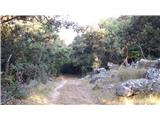 2
2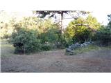 3
3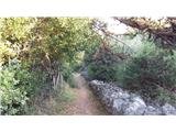 4
4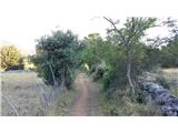 5
5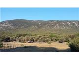 6
6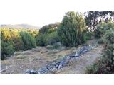 7
7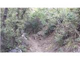 8
8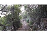 9
9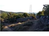 10
10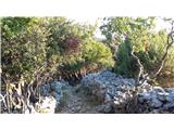 11
11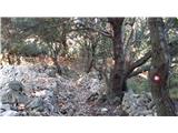 12
12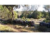 13
13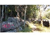 14
14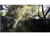 15
15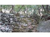 16
16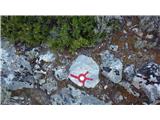 17
17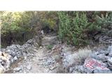 18
18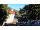 19
19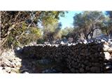 20
20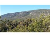 21
21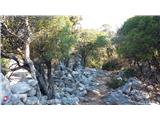 22
22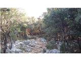 23
23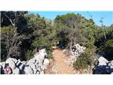 24
24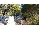 25
25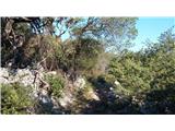 26
26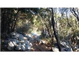 27
27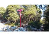 28
28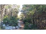 29
29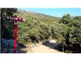 30
30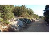 31
31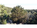 32
32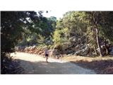 33
33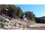 34
34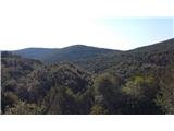 35
35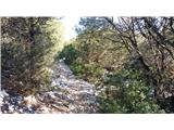 36
36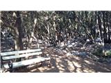 37
37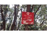 38
38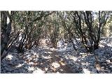 39
39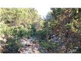 40
40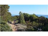 41
41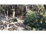 42
42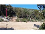 43
43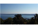 44
44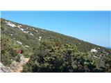 45
45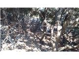 46
46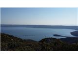 47
47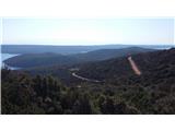 48
48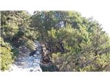 49
49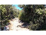 50
50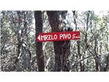 51
51 52
52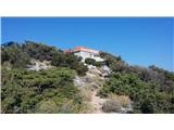 53
53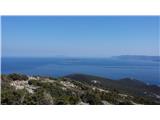 54
54 55
55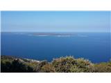 56
56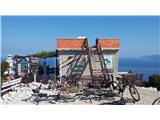 57
57
Discussion about the trip Halmac - Planinarski dom Sveti Gaudent
To post a comment you must log in:
If you do not yet have a username, you must first
register.