Hrašče - Grmada (Nanos) (past troughs)
Starting point: Hrašče (225 m)
| Latitude/Longitude: | 45,79260°N 13,98520°E |
| |
Route name: past troughs
Walking time: 2 h 50 min
Difficulty: easy unmarked way
Elevation gain: 984 m
Elevation difference along the route: 984 m
Map: Nanos 1:50.000
Recommended equipment (summer):
Recommended equipment (winter): ice axe, crampons
Views: 3.549
 | 1 person like this post |
Access to starting point:
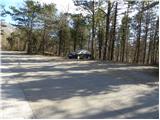
A) From the Ljubljana - Koper highway, take the Razdrto exit, then continue driving on the old road towards Nova Gorica. After Razdrto the road starts to descend more steeply, and we follow it to the intersection where the road towards Nanos branches off to the right. We turn onto the mentioned road, where after the first sharp right turn we park in a suitable place next to the next smaller intersection.
B) From the Nova Gorica - Razdrto expressway, take the Vipava exit, then continue driving on the old road towards Razdrto, but drive on it only a few kilometers, then the signs for Nanos direct us sharply left onto the ascending road. We turn onto the mentioned road, where after the first sharp right turn we park in a suitable place next to the next smaller intersection.
Route description:
From the starting point, we head onto the side road, alongside which we notice signs for Nanos and the hunting cottage. We walk a few meters along the mentioned road, then the blazes direct us right onto the marked footpath, which begins to ascend through the forest. A little higher we cross the asphalt road; when we step onto it a second time, we continue along it across the expressway. On the other side of the expressway, which we cross right at the beginning of the tunnel, the road up which we are ascending gradually turns right. We walk on the asphalt to the end of the next hairpin turn, from there we turn right onto the marked path, which higher returns to the road.
When we step onto the road again, we merely cross it (right continuing on the road - path over Brižnik) and continue ascending through the low forest. Higher, the path brings us to an intermittent spring, beside which there is a small vine. From the vine we ascend moderately for a short time, then we reach the already several times mentioned asphalt road, which we follow to the left. With occasional views of Vipavska brda and the surroundings, the road brings us to the korita and a sharp right turn, in the middle of which the path from Vipava and another path from Podnanos join from the left.
Here we continue right and along the road to the next turn, then the blazes direct us right onto the footpath, along which we ascend somewhat more steeply. The well-marked path higher returns to the road and leaves it again after a few minutes, a little higher it crosses it once more. The path ahead leads us past a large chapel, which is visible from afar. Somewhat above the chapel we arrive at a marked junction, where we continue right upward in the direction of Vojkova koča past Strmec (left hunting cottage Vojkovo, right downward Lozice).
The path ahead becomes quite steep and substantially less trodden, but not particularly demanding for orientation. Higher, the path brings us out of the forest and after the slope break it flattens completely. Here we continue straight along the barely noticeable path, along which in 2 minutes of further walking we join the well-trodden and marked path hunting cottage Vojkovo - Vojkova koča na Nanosu.
When we reach the mentioned path we follow it right (left hunting cottage 10 minutes), which leads us further across grassy slopes occasionally overgrown with bushes and individual pines. The easy and barely ascending path then briefly joins the road but leaves it after just a few steps. The path then moves somewhat further right from the road and begins to ascend moderately across the increasingly panoramic slopes of Nanos. Here an unmarked path joins us from the right, which branched off right somewhat lower. The path ahead becomes slightly steeper and after a few minutes of further walking brings us to the church of St. Jerome, visible from afar.
From the church we continue slightly right along the path, to which a little higher a level path from Razdrto joins from the right. We continue in the direction of Vojkova koča along the path, which a few steps further brings us to a less noticeable junction, where an unmarked path to Grmada branches left.
We turn onto the mentioned unmarked and somewhat less visible path, which ascends somewhat more steeply and soon brings us to a forest road, which we merely cross. We continue the ascent along the relatively steep path, which ascends across the increasingly panoramic grassy slope. Higher the path levels somewhat and turns right, gradually transitioning to an indistinct ridge, along which in a few minutes of further walking we climb to the summit of Grmada.

Photos:
 1
1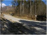 2
2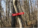 3
3 4
4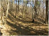 5
5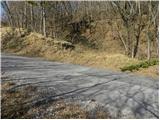 6
6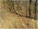 7
7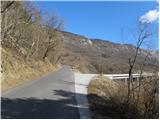 8
8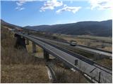 9
9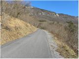 10
10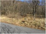 11
11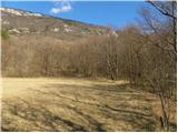 12
12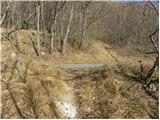 13
13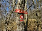 14
14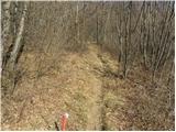 15
15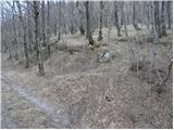 16
16 17
17 18
18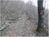 19
19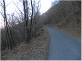 20
20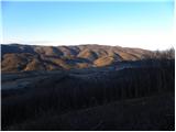 21
21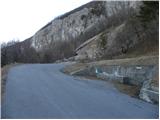 22
22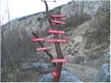 23
23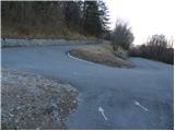 24
24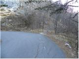 25
25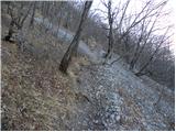 26
26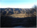 27
27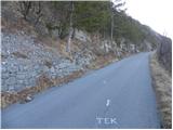 28
28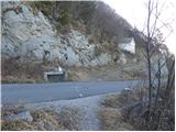 29
29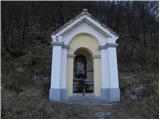 30
30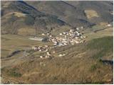 31
31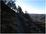 32
32 33
33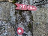 34
34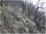 35
35 36
36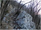 37
37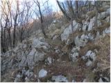 38
38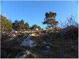 39
39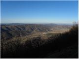 40
40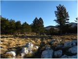 41
41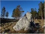 42
42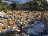 43
43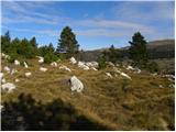 44
44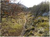 45
45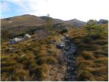 46
46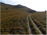 47
47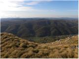 48
48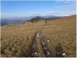 49
49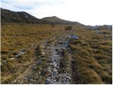 50
50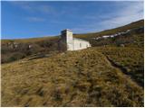 51
51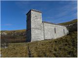 52
52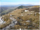 53
53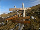 54
54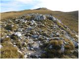 55
55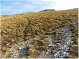 56
56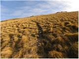 57
57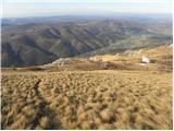 58
58 59
59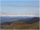 60
60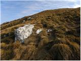 61
61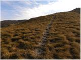 62
62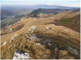 63
63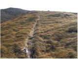 64
64 65
65
Discussion about the trip Hrašče - Grmada (Nanos) (past troughs)
To post a comment you must log in:
If you do not yet have a username, you must first
register.