Hrastnik - Klobuk (via Ravne)
Starting point: Hrastnik (290 m)
| Latitude/Longitude: | 46,14930°N 15,08520°E |
| |
Route name: via Ravne
Walking time: 2 h 25 min
Difficulty: easy marked way
Elevation gain: 600 m
Elevation difference along the route: 600 m
Map:
Recommended equipment (summer):
Recommended equipment (winter): ice axe, crampons
Views: 4.960
 | 1 person like this post |
Access to starting point:
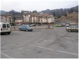
From Trbovlje or Laško we drive to Hrastnik, and then we continue driving in the direction »Hrastnik center and village Čeče«. We follow this road to the spot where we notice signs for the ski area Rajska dolina. Here we turn right and then already after a few meters park on one of the numerous parking lots in Hrastnik.
Route description:
From the center of Hrastnik we continue on the asphalt road in the direction of the villages Boben and Čeče. We follow the road, which soon leaves Hrastnik and then ascends along the Boben stream, to the beginning of the village Boben. At this spot we continue right, cross the bridge and continue the ascent in the direction of Kala and Mrzlica on the road which behind the houses changes into a first gently undulating cart track. The cart track quickly enters the forest, where it ascends along the pleasant stream, then turns left and steeply ascends.
The path soon leaves the forest for expansive grassy slopes, across which we then ascend along an occasionally somewhat poorly visible path. Higher the path brings us to an asphalt road in the hamlet Ravne, through which we continue in the direction of Kala. A little further the signs for Kala direct us right onto a poorer road, which quickly turns into a pleasant path, along which we then ascend a partly grassy slope.
After a while the path brings us to a road, which we follow for just over 100 m to the left bend, in the middle of which a marked footpath branches off to the right. We continue the ascent along an initially wide cart track, which in a moderate ascent that mostly runs through forest brings us to a junction near the ski area Rajska dolina.
We continue right in the direction of Klobuk (left Kala and Mrzlica) along the path, which for a while ascends along the ski slope, then turns right into the forest, where it mostly ascends diagonally. The path higher flattens for a short time, then ascends more steeply and after a few minutes of further walking brings us to the scenic summit.

Photos:
 1
1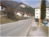 2
2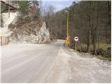 3
3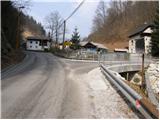 4
4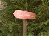 5
5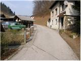 6
6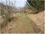 7
7 8
8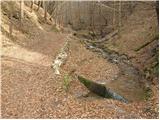 9
9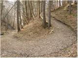 10
10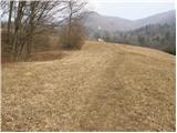 11
11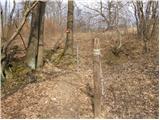 12
12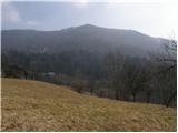 13
13 14
14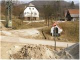 15
15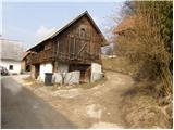 16
16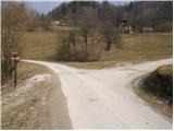 17
17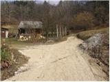 18
18 19
19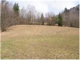 20
20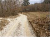 21
21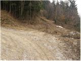 22
22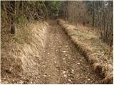 23
23 24
24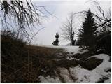 25
25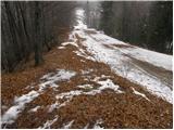 26
26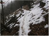 27
27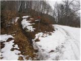 28
28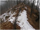 29
29 30
30
Discussion about the trip Hrastnik - Klobuk (via Ravne)
|
| plaNinaPirsMajcen11. 12. 2025 18:00:39 |
Klobuk is a nice viewpoint to the west, with views of Kum, KSA, Mrzlica.
My friend and I visited it 2x, first time in a snowstorm, second time we enjoyed the sunset 🌄
First time we parked at Rajska dolina, second time much lower by the road and joined the ridge section of the Hrastnik-Mrzlica trail, specifically between Jelenca and Klobuk.
Some video impressions:
https://youtu.be/NHJ2fmfQPZ4?si=gxQBECeCklliEkr5
Best, Nina
|
|
|
To post a comment you must log in:
If you do not yet have a username, you must first
register.