Starting point: Hruševka (520 m)
| Latitude/Longitude: | 46,23350°N 14,72600°E |
| |
Walking time: 5 h 30 min
Difficulty: easy marked way
Elevation gain: 988 m
Elevation difference along the route: 1210 m
Map:
Recommended equipment (summer):
Recommended equipment (winter): ice axe, crampons
Views: 4.097
 | 1 person like this post |
Access to starting point:
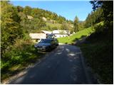
A) First, we drive to Kamnik, and then we continue driving through Tuhinjska Valley. We then drive through the settlements Vrhpolje, Soteska, Srednja vas, Loke and Potok. At the village Potok, the road branches off to the left towards Terme Snovik spa, and we follow the main road only a few 100 m or to the spot where signs for Hruševka direct us left onto a narrower local road. On the mentioned road, we ascend to some sort of center of the village, where signs for the footpath to St. Miklavž direct us right downwards. Here the road first descends a little, then starts gently ascending along Podbreški potok stream. After a short ascent, we come to the "last" house in the village, and we park a few 10 m before, at an appropriate place by the road.
B) From the Maribor - Ljubljana highway, we take the Vransko exit, and then we continue driving on the parallel old road towards Ljubljana. At the end of Vransko, we will arrive at an intersection where we turn right towards Tuhinjska Valley. We then drive through the settlements Motnik, Špitalič, Cirkuše, Laze, Šmartno and Buč. After the village Buč, signs for Hruševka direct us right onto a narrower local road. On the mentioned road, we ascend to some sort of center of the village, where signs for the footpath to St. Miklavž direct us right downwards. Here the road first descends a little, then starts gently ascending along Podbreški potok stream. After a short ascent, we come to the "last" house in the village, and we park a few 10 m before, at an appropriate place by the road.
Route description:
From the starting point, we continue sharply right in the direction of the footpath to St. Miklavž. The path first ascends through a strip of forest, then brings us to the edge of pastures, from where a nice view of the surroundings opens up. Initially somewhat more overgrown path temporarily returns to the forest, then leads us past a log cabin, behind which we cross a strip of shrubbery. Behind the shrubbery, the path widens into a cart track, which turns sharply left and brings us into dense forest. For a short time we still walk on the cart track, then the markers direct us right onto an increasingly steep footpath. This quite steep path, which ascends continuously through the forest, we then follow all the way to the church of St. Miklavž on Gora, from which a beautiful view opens up.
From the church of St. Miklavž we continue on a macadam road in the direction of Prevala. The road first starts to descend slightly, then brings us to the spot where a short footpath branches off left downwards to the nearby spring, and we continue on the road, which starts gently ascending. After a short ascent, the road brings us to a smaller saddle, where a marked footpath to Prevala branches off right. We head onto the mentioned path, which temporarily descends slightly, then transitions to the ridge named V grebenih.
Here the path becomes quite steep and continues on and along locally quite steep and in a few places slightly exposed ridge (especially when wet there is a risk of slipping on certain sections). Higher up the path levels out and brings us from the ridge to the edge of a larger and overgrown clearing. Here the path turns left into the forest and gently descends to the nearby forest road, which we follow left. For some time we descend along the mentioned road, then arrive at an intersection in the middle of which stands a cross. From the intersection we continue on the marked cart track in the direction of Prevala, to which we still have 40 minutes of ascent. The cart track ahead ascends relatively steeply through the forest, higher crosses an old clearing, then levels out and brings us to a poorly marked junction.
At the spot where the cart track turns left, a marked footpath continues straight ahead, which first ascends moderately, higher steeply through the forest. This path, which in the final section before Prevala is also overgrown with raspberry bushes, we follow all the way to Prevala saddle, from which a nice view opens up.
From Prevala we continue northwards and begin descending across panoramic slopes of the upper part of Planina Ravni. After a short descent we step onto a wider cart track, follow it right, and after a few 10 steps of further walking arrive at the shepherd's hut on the mentioned pasture.
From Planina Ravni we continue in the direction of Dom na Menini planini and Planina Travnik. The path ahead rises slightly and quickly enters the forest, through which it continues for some time. A bit further we join a wide cart track, along which we soon exit the forest. When we exit the forest, we step onto the western part of Planina Travnik, across which we then walk to the shepherd's hut on the other side of the pasture. A poorly visible path leads us there, crossing the pasture.
From the hut we continue past the nearby cross and bell, behind which the marked path turns right. A pleasant walk follows on the path, which first ascends gently, then moderately across expansive pastures. Higher the path enters the forest, where it gradually begins to descend. The path soon starts ascending again and brings us to a macadam road, which we follow right. We walk a few minutes on the mentioned road, then the markers direct us right onto a footpath that ascends moderately through dense forest. Higher we cross the road once more, which gradually brings us to the pastures of Menina planina. With a few shorter ascents and descents we continue on the pleasant path, to which after a somewhat longer descent the path from Gornji Grad (path past Jespa) also joins.
We continue right in the direction of Dom na Menini planini, on the path that crosses a strip of forest, then brings us to the parking lot near the already mentioned mountain hut. From the parking lot we continue across the meadow and path, from which a nice view opens onto the chain of Kamniško Savinjske Alpe, quickly bringing us to Dom na Menini planini.
From the hut we continue on the marked path in the direction of Vivodnik. After a few 10 steps of easy walking, the path steeply ascends for a short time, then levels out and brings us to a larger grassy slope, where we encounter a signpost with the inscription "Vivodnik - krožna pot". We continue slightly left (we can return via the right path) on a relatively gentle path that quickly brings us into a short strip of forest. Here the path ascends again briefly, then brings us out of the forest, where we already see the lookout tower on Vivodnik ahead, which we reach after a few steps of further walking.

Photos:
 1
1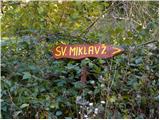 2
2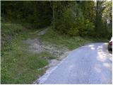 3
3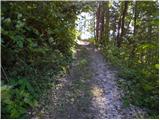 4
4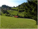 5
5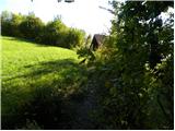 6
6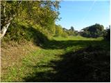 7
7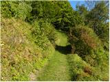 8
8 9
9 10
10 11
11 12
12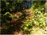 13
13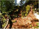 14
14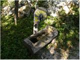 15
15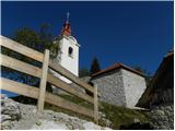 16
16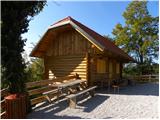 17
17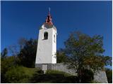 18
18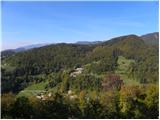 19
19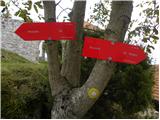 20
20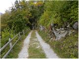 21
21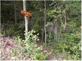 22
22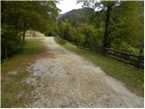 23
23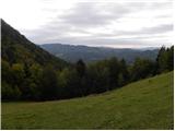 24
24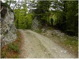 25
25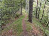 26
26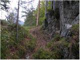 27
27 28
28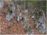 29
29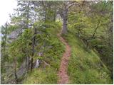 30
30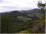 31
31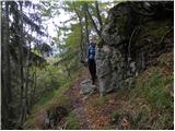 32
32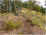 33
33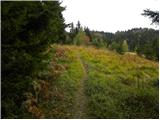 34
34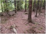 35
35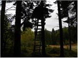 36
36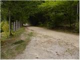 37
37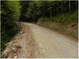 38
38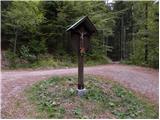 39
39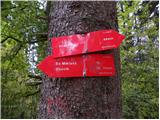 40
40 41
41 42
42 43
43 44
44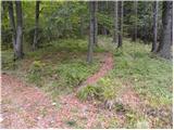 45
45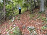 46
46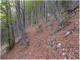 47
47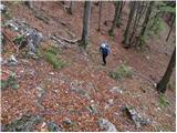 48
48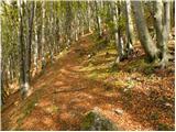 49
49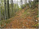 50
50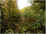 51
51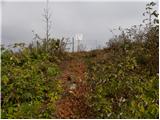 52
52 53
53 54
54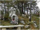 55
55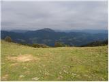 56
56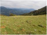 57
57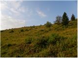 58
58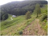 59
59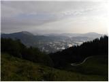 60
60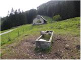 61
61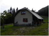 62
62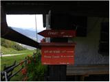 63
63 64
64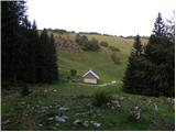 65
65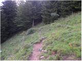 66
66 67
67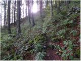 68
68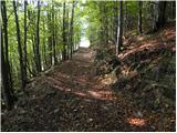 69
69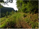 70
70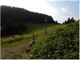 71
71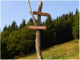 72
72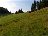 73
73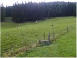 74
74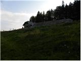 75
75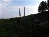 76
76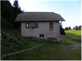 77
77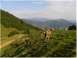 78
78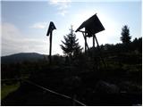 79
79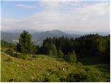 80
80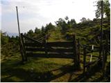 81
81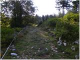 82
82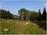 83
83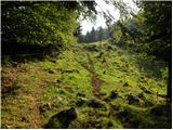 84
84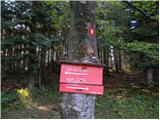 85
85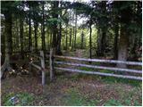 86
86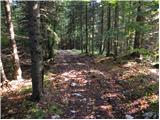 87
87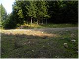 88
88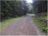 89
89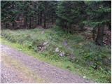 90
90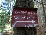 91
91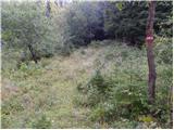 92
92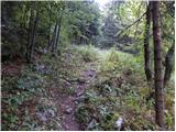 93
93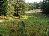 94
94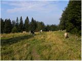 95
95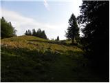 96
96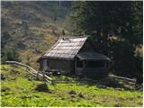 97
97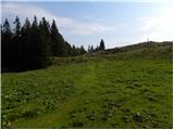 98
98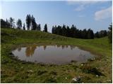 99
99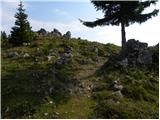 100
100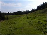 101
101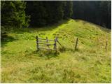 102
102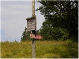 103
103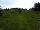 104
104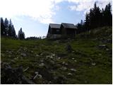 105
105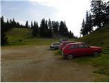 106
106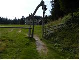 107
107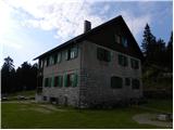 108
108 109
109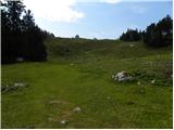 110
110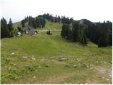 111
111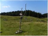 112
112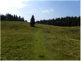 113
113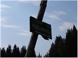 114
114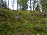 115
115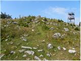 116
116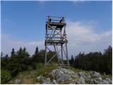 117
117 118
118
Discussion about the trip Hruševka - Vivodnik
To post a comment you must log in:
If you do not yet have a username, you must first
register.