Jassing - Sonnschienhütte
Starting point: Jassing (884 m)
| Latitude/Longitude: | 47,55861°N 15,03167°E |
| |
Walking time: 2 h 30 min
Difficulty: easy marked way
Elevation gain: 639 m
Elevation difference along the route: 670 m
Map:
Recommended equipment (summer): helmet
Recommended equipment (winter): helmet, ice axe, crampons
Views: 89
 | 1 person like this post |
Access to starting point:
From the A9 motorway (direction Graz/Linz) we turn onto the S35 expressway towards Vienna and leave it at Bruck an der Mur. From there we follow the signs for Kapfenberg, then turn towards Trägoß and St. Katharein/Grüner See. After approximately 23 km we arrive in Oberort, where we turn left in the middle of the village.
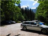
From Oberort we continue past the Seehof inn, bypass the Green Lake and ascend on a gravel road past Pfarrerlacke lake to the end of the valley, where there is a large Jassing parking lot. Further driving is prohibited.
Warning: The entire valley is a single paid parking zone. Since there is no parking meter at the final Jassing parking lot and intermediate points, a parking ticket must be purchased in advance at the first central parking lot in the Oberort settlement (at the tourist information).
Route description:
From the edge of the parking lot where the chemical toilet stands, we follow a well-trodden forest path downhill, which quickly leads us to the gravel road along the torrent bed. At this point there is a trail junction; the direction towards the Jassing Almhütt'n hut leads straight ahead, but we turn right onto the wide transport road known as the Russian Road (Russenstraße).
The road soon takes us into the forest, where we begin to ascend transversely. At the beginning of the ascent, a path joins rather inconspicuously from the left, leading past the Jassing Almhütt'n hut. Further on we cross several small junctions, where we consistently follow the markings. The road gradually transitions to steep slopes, over which it begins to ascend in switchbacks; on certain sections it is exposed to falling rocks. Higher up we approach massive walls, where the danger of falling rocks increases somewhat, but the path repeatedly offers beautiful views of the mountains above the Jassing valley. Later we cross a gully and a landslide slope, then reach the edge of the plateau where a bench for resting stands. The road continues with a few unmarked shortcuts, but we follow the marked road to the marked fork. Here we choose the right road (straight ahead leads to Hörndlalm), along which we ascend transversely to a bend from which we get the first view of Ebenstein.
A few more minutes of moderate ascent follow, mostly through sparse forest, then we reach the pastures of the Sonnschienalm plateau. From there, with exceptional views, we briefly descend to the marked junction at the larger hunting hut. Here the paths to Brandstein and Ebenstein branch slightly left from the road, but we turn right. The hike continues on the road, which leads us past the chapel (which is somewhat set back from the path) in a few minutes to the Sonnschienhütte mountain hut.
The description and images refer to the state in July 2026.

Photos:
 1
1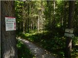 2
2 3
3 4
4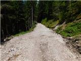 5
5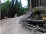 6
6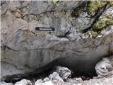 7
7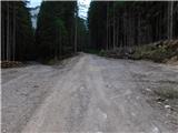 8
8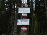 9
9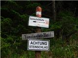 10
10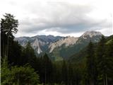 11
11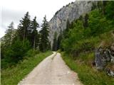 12
12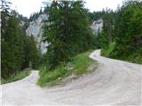 13
13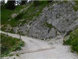 14
14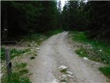 15
15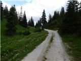 16
16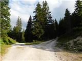 17
17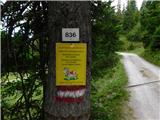 18
18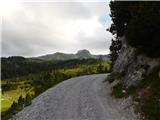 19
19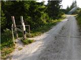 20
20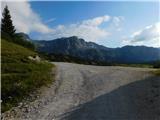 21
21 22
22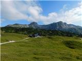 23
23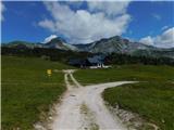 24
24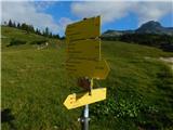 25
25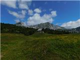 26
26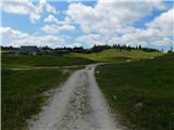 27
27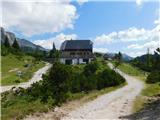 28
28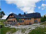 29
29
Discussion about the trip Jassing - Sonnschienhütte
To post a comment you must log in:
If you do not yet have a username, you must first
register.