Javorje (Mala Črna) - Komen (via Hlipovec)
Starting point: Javorje (Mala Črna) (660 m)
| Latitude/Longitude: | 46,45524°N 14,88084°E |
| |
Route name: via Hlipovec
Walking time: 4 h 20 min
Difficulty: easy unmarked way
Elevation gain: 1024 m
Elevation difference along the route: 1075 m
Map: Koroška 1:50.000
Recommended equipment (summer):
Recommended equipment (winter): ice axe, crampons
Views: 171
 | 1 person like this post |
Access to starting point:
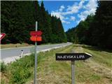
a) We drive to Črna na Koroškem, then follow the signs for Topolščica, Šoštanj and Velenje. After 3 km of driving from the roundabout in the centre of Črna na Koroškem we turn right towards Dom na Smrekovcu and Najevska lipa. We park a little further on at a suitable spot by the road, preferably after the bridge.
b) We drive to Šoštanj, then follow the signs for Črna na Koroškem. This is followed by a longer, quite winding ascent to the Sleme pass (1082 m), then we descend for about another 9 km. After 9 km we turn left towards Dom na Smrekovcu and Najevska lipa. We park a little further on at a suitable spot by the road, preferably after the bridge.
Route description:
From the starting point we head onto the road marked for Dom na Smrekovcu and Najevska lipa, where we first walk along a gentle road that ascends along Koroška Kramarica. After 15 minutes of walking we reach a marked junction, where we leave the marked path towards Dom na Smrekovcu and continue right towards Najevska lipa. We then ascend along another stream, where we begin to climb more noticeably; after the Anderc homestead, where Pahorjev most is also located, the road turns sharply to the right.
From here we gradually move away from the valley and ascend transversely along the slope; the path leads us past individual homesteads. Higher up there are a few more junctions, where we follow the signs for Najevska lipa, which we reach without major difficulties.
From Najevska lipa we return to the asphalt road and continue along it towards Pudgarsko; from the road a footpath first branches off to the left to the Izletniška kmetija Smerčnik - Gorza, and later also a road. Along the asphalt road we continue with a few shorter easy ascents and descents; the next farm is bypassed on the lower left side. There follows some more, in the final part quite scenic walking and we arrive at the junction at Pudgarsko, where parking is also possible.
We continue along the gravel road that leads towards the Kramarica pass; at the end of the first larger right-hand bend we continue right onto a side road (straight on Kramarica), which begins to ascend more noticeably; a little further on we go left and continue along a somewhat wider road. This is followed by an ascent in a few switchbacks, then along the edge of a larger clearing where an older house stands we continue along the right-hand road (the road straight ahead crosses the slopes towards the east; along it, or later a track, one can reach Dom na Smrekovcu), which in the continuation mostly ascends transversely to the right.
Higher up, at an altitude of around 1380 m, or on the western slopes of the indistinct Končnikov vrh, a path branches off to the left, initially a track towards Črno jezero or Končnikova mlakuža; we continue straight along the road, which gradually passes under steeper slopes. Later we also cross a somewhat larger ravine; the poorer road ends at the hunting observation post and turning area.
The path ahead leads us along a track that continues to ascend transversely to the right; along it we walk to the Hlipovec saddle, where we reach the marked path below Dom na Smrekovcu - Koča na Travniku.
Here we go left towards Dom na Smrekovcu and walk along the track for a while longer, then the markings gradually lead us onto an increasingly steep footpath. Through the forest we ascend steeply for a while; when we leave the forest the path levels out and quickly brings us to the chapel of St. Cyril and Methodius, where the next marked junction is located.
The path towards Dom na Smrekovcu continues straight ahead; we turn left towards the summit of Komen, which we reach in about five minutes of increasingly scenic walking.
Starting point - Najevska lipa 1:30, Najevska lipa - Pudgarsko 0:40, Pudgarsko - Hlipovec 1:30, Hlipovec - Komen 0:40.
The description and photos refer to the situation in June 2025.

Photos:
 1
1 2
2 3
3 4
4 5
5 6
6 7
7 8
8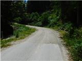 9
9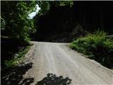 10
10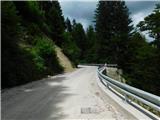 11
11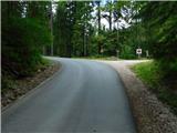 12
12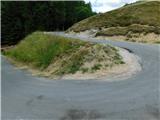 13
13 14
14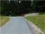 15
15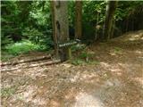 16
16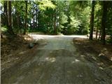 17
17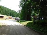 18
18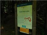 19
19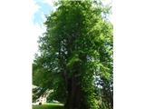 20
20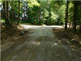 21
21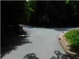 22
22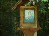 23
23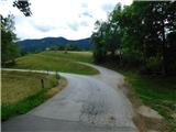 24
24 25
25 26
26 27
27 28
28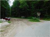 29
29 30
30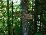 31
31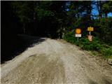 32
32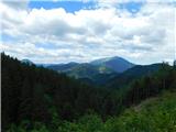 33
33 34
34 35
35 36
36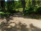 37
37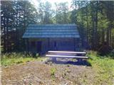 38
38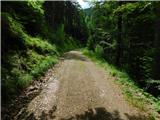 39
39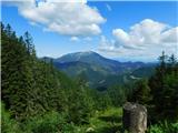 40
40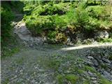 41
41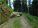 42
42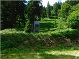 43
43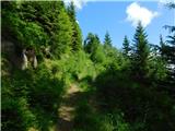 44
44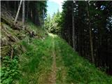 45
45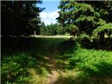 46
46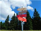 47
47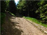 48
48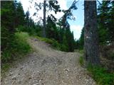 49
49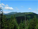 50
50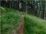 51
51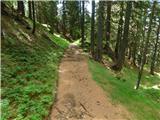 52
52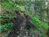 53
53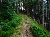 54
54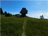 55
55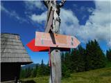 56
56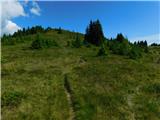 57
57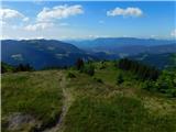 58
58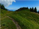 59
59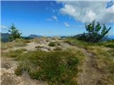 60
60 61
61
Discussion about the trip Javorje (Mala Črna) - Komen (via Hlipovec)
To post a comment you must log in:
If you do not yet have a username, you must first
register.