Jezersko polje - Koča pri Savici
Starting point: Jezersko polje (532 m)
| Latitude/Longitude: | 46,28180°N 13,88180°E |
| |
Walking time: 2 h 15 min
Difficulty: easy marked way
Elevation gain: 121 m
Elevation difference along the route: 160 m
Map: TNP 1:50.000
Recommended equipment (summer):
Recommended equipment (winter):
Views: 1.980
 | 2 people like this post |
Access to starting point:
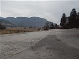
We drive to Bohinjska Bistrica, then continue driving towards Lake Bohinj. When in Ribčev Laz we arrive at the lake, we continue right over the bridge and past the church of St. John the Baptist we drive to the nearby intersection, where signs for the parking lot direct us to the left. From the intersection, we drive approximately another 300 m, then park on the parking lot near the lake. The parking lot is paid, and most of the nearby parking lots are also paid. A designated free parking lot is at the beginning of Ribčev Laz, which extends the path by approximately 15 minutes.
Route description:
At the end of the parking lot, we notice signs for Ukanc, the path behind the lake, which direct us right onto a wide path that continues along Fužinski zaliv. At first, nice views open up from the path onto the lake and surrounding mountains, but when we leave the area of Fužinski zaliv, the path enters the forest, which occasionally thins out, so that we can occasionally still admire the lake. Further on, the path leads us over several torrents and a few streams, then behind the former fish farm the cart track narrows into a footpath. For some time we still walk along the northern shore of the lake, then we distance ourselves somewhat from the lake and cross the torrent of mighty Govica. The path then returns to the lake and also brings us to a marked junction, from which we continue right in the direction of Savica waterfall (if we continue along the lake we arrive in Ukanc).
From the junction we walk briefly along a narrower trail, then join a cart track that takes us past the huts Janko and Metka to the place where the path to Ukanc panorama branches off to the right, and we continue straight, and after a few minutes of further walking reach the asphalt road, which we follow to the right.
We continue briefly along the asphalt road, then yellow signs for Savica waterfall direct us slightly right onto a macadam path, which first still leads past a few huts, then enters the forest. Through the forest we ascend moderately, and when higher up the path levels out, we arrive at a marked junction, where the path over Komarča branches off to the right, and we continue straight along the gentle path towards Koča pri Savici. Crossing a bridge follows, then we already arrive at Koča pri Savici.
Description and pictures refer to the condition in 2017 (March).

Photos:
 1
1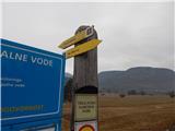 2
2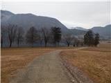 3
3 4
4 5
5 6
6 7
7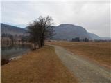 8
8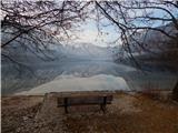 9
9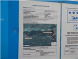 10
10 11
11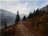 12
12 13
13 14
14 15
15 16
16 17
17 18
18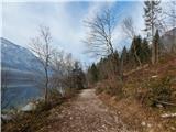 19
19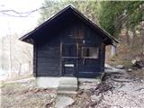 20
20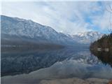 21
21 22
22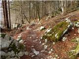 23
23 24
24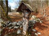 25
25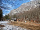 26
26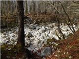 27
27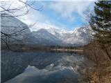 28
28 29
29 30
30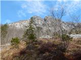 31
31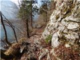 32
32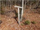 33
33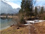 34
34 35
35 36
36 37
37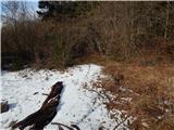 38
38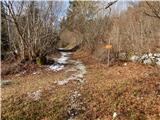 39
39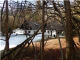 40
40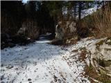 41
41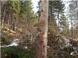 42
42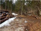 43
43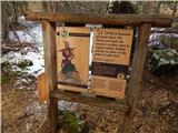 44
44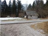 45
45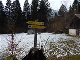 46
46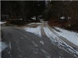 47
47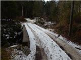 48
48 49
49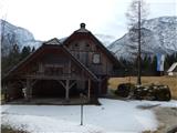 50
50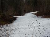 51
51 52
52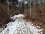 53
53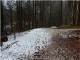 54
54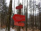 55
55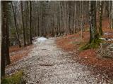 56
56 57
57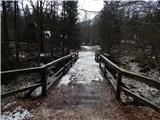 58
58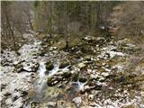 59
59 60
60
Discussion about the trip Jezersko polje - Koča pri Savici
To post a comment you must log in:
If you do not yet have a username, you must first
register.