Kampel (Kapelca) - Pomjan (old path)
Starting point: Kampel (Kapelca) (11 m)
| Latitude/Longitude: | 45,52120°N 13,74290°E |
| |
Route name: old path
Walking time: 1 h 30 min
Difficulty: easy marked way
Elevation gain: 349 m
Elevation difference along the route: 370 m
Map: Primorje in Kras 1:50.000
Recommended equipment (summer):
Recommended equipment (winter):
Views: 5.600
 | 1 person like this post |
Access to starting point:
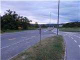
We leave the coastal highway at the exit for Pulj, Poreč and Šmarje. We then drive on the main road towards Šmarje; at the roundabout by the OMV gas station, we leave it and take the exit in the direction towards Marezige and Vanganel. We then drive towards Vanganel, but only to the intersection, where the road branches off to the right towards the settlement Kampel (before the intersection there is a bus stop Kapelca). We turn right and then park in an appropriate place at the intersection.
Route description:
From the starting point, we continue on the asphalt road, along which in a few minutes we arrive in Kampel. In the mentioned village, the road starts to ascend, and at the crossroads we follow the blazes. The road lies higher up and leaves the village, leading us through a panoramic section. When higher up the road turns sharply right, we leave it and a few steps before the bend we continue on the lower road, from which we soon go left (in the section where we go left, the blazes are clearly visible, the signs for Pomjan are blurred).
A few dozen steps further, from the poorer road that leads towards the private house, we go right and begin to ascend along the forest path used by mountain bikers for descent. There follows a fairly steep ascent along the path, beside which we notice only a few old, partly faded blazes.
Higher up, we join a newer path, which we follow to the left, and at the junctions we follow the blazes. There follows traversing of the slopes to the left, where we first still walk through the forest, then arrive at a panoramic section from which a nice view opens towards Pomjan and the surrounding hills. A little further ahead, the path takes us to the first house; behind it we step onto a poorer road, along which we ascend to the centre of the village.
When we reach the asphalt, we continue left and walk past the NOB monument to the parish church of St. Jurij in Pomjan. From the church, we continue along the road towards Marezige; at the end of the village, when the road has already descended slightly, we arrive at a viewpoint with a panorama board.
The description and pictures refer to the condition in 2018 (June).

Along the route: Kampel (76m)
Photos:
 1
1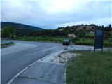 2
2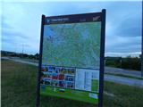 3
3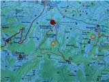 4
4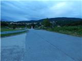 5
5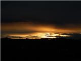 6
6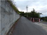 7
7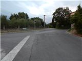 8
8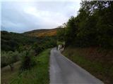 9
9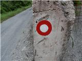 10
10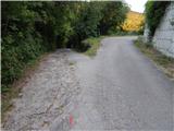 11
11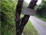 12
12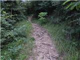 13
13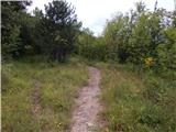 14
14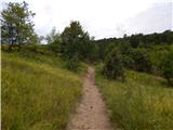 15
15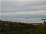 16
16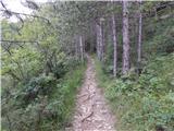 17
17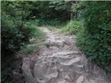 18
18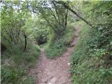 19
19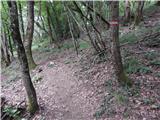 20
20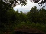 21
21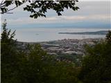 22
22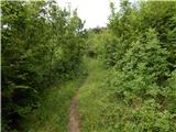 23
23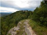 24
24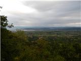 25
25 26
26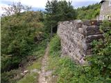 27
27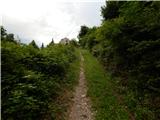 28
28 29
29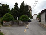 30
30 31
31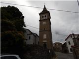 32
32 33
33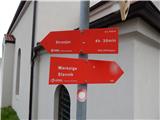 34
34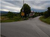 35
35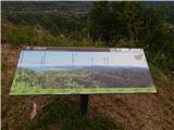 36
36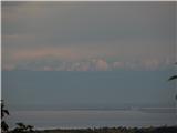 37
37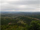 38
38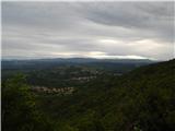 39
39
Discussion about the trip Kampel (Kapelca) - Pomjan (old path)
To post a comment you must log in:
If you do not yet have a username, you must first
register.