Kneške Ravne - Tolminski Kuk (via Škrbina)
Starting point: Kneške Ravne (720 m)
| Latitude/Longitude: | 46,21570°N 13,82650°E |
| |
Route name: via Škrbina
Walking time: 6 h 15 min
Difficulty: easy unmarked way, partly demanding marked way
Elevation gain: 1365 m
Elevation difference along the route: 1580 m
Map: TNP 1:50.000
Recommended equipment (summer): helmet
Recommended equipment (winter): helmet, ice axe, crampons
Views: 1.210
 | 1 person like this post |
Access to starting point:
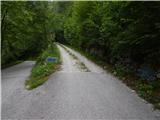
From the Bača pri Modreju - Podbrdo road, in the settlement Kneža we turn onto the road in the direction of Kneške Ravne. Further on we ascend along the road which continues through the valley of the Kneža stream. Initially quite gentle and partly macadam road, higher it starts to ascend more steeply, on the steep part the road is mostly asphalt. Higher the road forks, and we choose the slightly left road which is still asphalt and leads towards Kneške Ravne (slightly right macadam road which leads in the direction of the Planina v Prodih mountain pasture). Next follows crossing of the scenic Prošček stream, then we quickly ascend to the parking lot before Kneške Ravne, where we park.
Route description:
From the parking lot, where there is an information board of Kneške Ravne and surroundings, we continue upwards, at the first crossroads by the NOB monument we go straight (left homestead Pri Jakopu and homestead Pri Jaklnu). The road soon turns left, from it a road to the homestead Pri Francu also branches off to the right. Here too we go straight, at the next crossroads we go slightly right (slightly left homestead Pri Pologarju). The asphalt road splits once again, this time we choose the left path (right leads to homestead Pri Francu), which loses its asphalt surface and leads us across a pasture fence. Further we ascend along the cart track which leads above an orchard, then turns left and through a strip of forest and over several pasture fences brings us to a junction beside a smaller partly stone hut. Here we go right, the cart track higher once again turns left, then brings us in a few minutes to the hunting observatory. At the hunting observatory we go sharply right, then from the poor cart track immediately left, straight up the slope. After a short ascent a trail appears, which mostly ascends diagonally through the forest, leading us parallel to the edge of the nearby hay meadow. Higher we reach the ridge between Ljubinjske stene and Masovnik, where the trail becomes more distinct and takes us to the other, western side of the ridge. Next follows crossing of slopes and some gullies, the path along which we notice some old, already quite faded blazes, later starts to ascend diagonally. Higher we arrive at overgrown scree and in a few minutes ascend to a junction at the foot of Ljubinjske stene.
We continue left towards Planina Razor (right Planina v Prodih and Rut), the path leads us directly below the cliffs, where especially in spring there is an increased risk of falling rocks. Next follows a traversing ascent and the path brings us into the forest, where it passes a spring. After the spring the path temporarily ascends steeply, after two switchbacks it flattens again. A little further we cross another pasture fence, the path brings us out of the forest to the upper part of Planina Kuk, to the area called Močila, where we bypass some huts along the lower side. Behind the huts we reach a track road which we follow right (left Planina Kuk and parking lot), along which we soon arrive at a junction where the path to Žabiški Kuk (also Žabijski Kuk) - path past Gradič (old military path) branches right.
We continue towards Planina Razor along a gentle macadam road crossing the western slopes of Žabiški Kuk. Along the road, from which we occasionally get nice views to the northwest towards Rdeči rob, Vrh nad Peski, Grušnica, Tolminski Migovec and other surrounding mountains, after about 25 minutes of further walking we arrive at the point where signs for the mountain hut direct us right onto the path that ascends diagonally above the road. A few more minutes of walking follow and the path brings us to Koča na Planini Razor.
From the hut we continue towards Globoko, Vogel, Vrh nad Škrbino... along the path crossing a belt of forest, then splitting on a gentle grassy slope.
This time we continue straight towards Vrh nad Škrbino and Dom na Komni (right Vogel, Globoko and Črna prst), along the path turning slightly left and ascending the slope covered with dwarf pines. After a few minutes the path temporarily flattens, then north of the indistinct summit Kopecko, after a short moderate ascent, brings us to the next junction. We continue left towards Škrbina saddle (right Vrh nad Škrbino - south path). Soon after, the path emerges from the dwarf pines onto interesting slopes where on our right we notice steep rocky slabs forming an interesting wall for climbers which is not overly steep. Here the "direct path" from Tolminske Ravne joins from the left, the path ahead then ascends diagonally across the scree to Škrbina saddle at 1910 m.
When we step onto Škrbina a nice view opens to the Bohinj side, at the junction we continue left towards Kuk (right Vrh nad Škrbino, straight down Dom na Komni and Vogel ski area). Ahead the path begins to ascend diagonally across steep slabs, then both the path and slope become somewhat gentler. Ahead the path passes below the short wall of Vrh Kont, then begins a gentle descent across occasionally steeper scree. Ahead on the Primorska side the path also crosses Podrta gora and Mali vrh, then returns to the main ridge of the Spodnje Bohinjske gore, reaching it right at the saddle between Mali vrh and Zeleni vrh. From here we continue in the same direction, only the path shifts from the slopes to a partly exposed ridge. We follow the marked path, which occasionally ascends quite steeply then with ever finer views, all the way to grassy Zeleni vrh.
From Zeleni vrh we descend the marked path which begins to descend more steeply westwards. The slope down which we descend quickly narrows and the path brings us to a narrow and somewhat exposed ridge. Here the path flattens, we quickly reach the col from which we begin to ascend towards Tolminski Kuk. Above the col a short steep ascent awaits, then the path reaches the ridge along and beside which we ascend to the highest peak of the Spodnje Bohinjske gore.
Kneške Ravne - Močila 2:10, Močila - Planina Razor 0:35, Planina Razor - Škrbina 2:00, Škrbina - Zeleni vrh 1:05, Zeleni vrh - Tolminski Kuk 0:25.

The trip can be extended to the following destinations: Podrta gora
Photos:
 1
1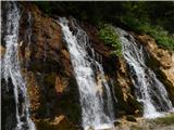 2
2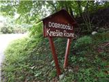 3
3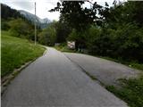 4
4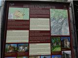 5
5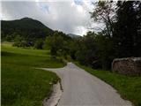 6
6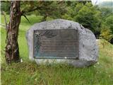 7
7 8
8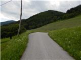 9
9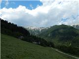 10
10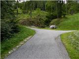 11
11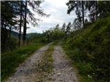 12
12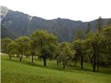 13
13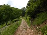 14
14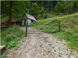 15
15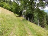 16
16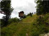 17
17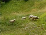 18
18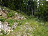 19
19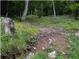 20
20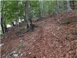 21
21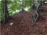 22
22 23
23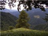 24
24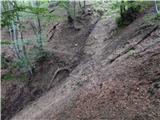 25
25 26
26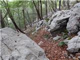 27
27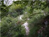 28
28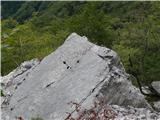 29
29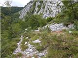 30
30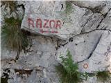 31
31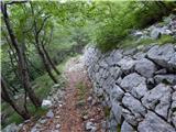 32
32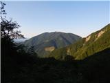 33
33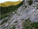 34
34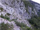 35
35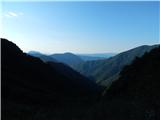 36
36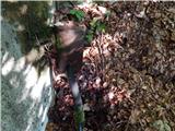 37
37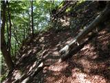 38
38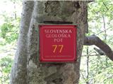 39
39 40
40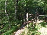 41
41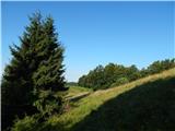 42
42 43
43 44
44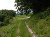 45
45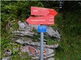 46
46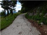 47
47 48
48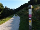 49
49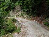 50
50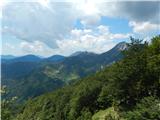 51
51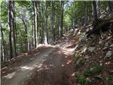 52
52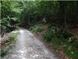 53
53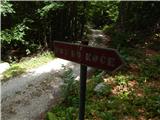 54
54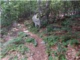 55
55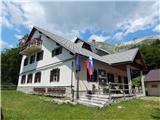 56
56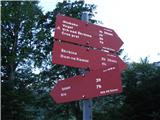 57
57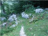 58
58 59
59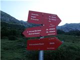 60
60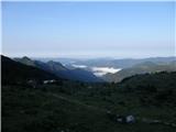 61
61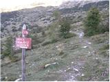 62
62 63
63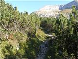 64
64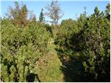 65
65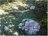 66
66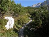 67
67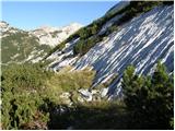 68
68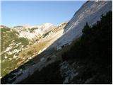 69
69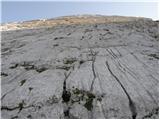 70
70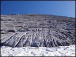 71
71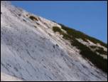 72
72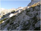 73
73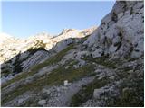 74
74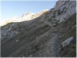 75
75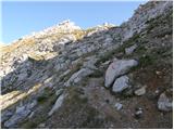 76
76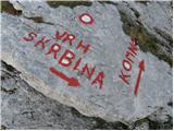 77
77 78
78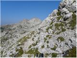 79
79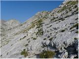 80
80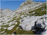 81
81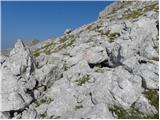 82
82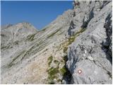 83
83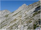 84
84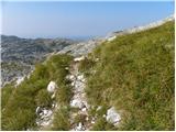 85
85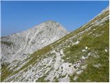 86
86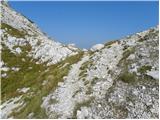 87
87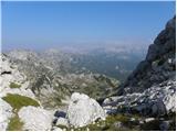 88
88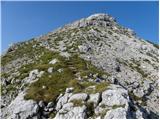 89
89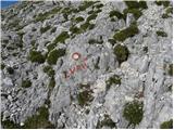 90
90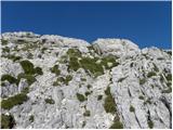 91
91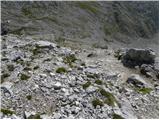 92
92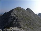 93
93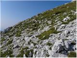 94
94 95
95 96
96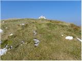 97
97 98
98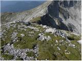 99
99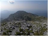 100
100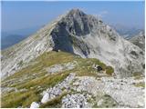 101
101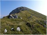 102
102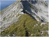 103
103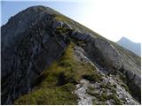 104
104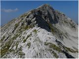 105
105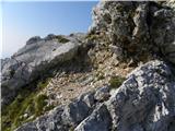 106
106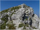 107
107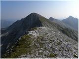 108
108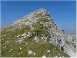 109
109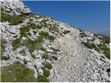 110
110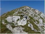 111
111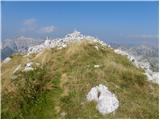 112
112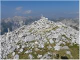 113
113 114
114
Discussion about the trip Kneške Ravne - Tolminski Kuk (via Škrbina)
|
| winni21. 07. 2021 11:12:57 |
Does anyone know why the path past Škrbina is no longer maintained and marked (except for completely faded marks)? It's a real shame, because apart from that section under Zeleni vrh, which could be secured with a cable since it's quite exposed and very crumbly, the path is very interesting.
|
|
|
To post a comment you must log in:
If you do not yet have a username, you must first
register.