Koča Planinc - Grmovškov dom pod Veliko Kopo
Starting point: Koča Planinc (1010 m)
| Latitude/Longitude: | 46,53145°N 15,17214°E |
| |
Walking time: 2 h 10 min
Difficulty: easy marked way
Elevation gain: 361 m
Elevation difference along the route: 510 m
Map: Pohorje 1:50.000
Recommended equipment (summer):
Recommended equipment (winter): ice axe, crampons
Views: 197
 | 1 person like this post |
Access to starting point:
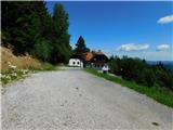
We drive to Vuzenica, then follow the signs to Kope and the settlement Sv. Primož na Pohorju. The road continues through Vuzenica for some time, then we arrive at the settlement Sv. Primož na Pohorju. Further on, we follow the signs to Kremžarjev vrh and Koča Planinc. Higher up, we follow the signs to the Kope ski resort and Koča Planinc; upon reaching the parking lot at the base of the Kope ski resort, we turn sharply right towards Koča Planinc. Another 100 m or so of driving follows, and we arrive at the parking lot in front of Koča Planinc.
Route description:
From the parking lot we walk to Koča Planinc, behind the hut we cross a small flat grassy area, then arrive at a marked junction.
We continue left uphill towards Mala Kopa (straight ahead Koča pod Kremžarjevim vrhom and Vuzenica) and gradually climb to the forested ridge of Tajzljev vrh, where at several junctions we follow the blazes. The trail ahead mostly follows cart tracks, higher up it flattens and then gently leads us out of the forest, where we join the path coming from over Kremžarjev vrh, or the starting point at Brneško sedlo.
We continue straight across the road, then start ascending along a cart track that initially leads through the forest. Higher up the cart track turns into a steep path, which continues ascending for some time along the edge of the ski slope, offering beautiful views. When we veer slightly right from the ski area, a marked footpath from Vuhred joins from the left, but we go straight on and through a belt of raspberry bushes ascend to Partizanski dom Kope in a few minutes of further walking.
We bypass Partizanski dom on the left and continue along the gravel road. Just a few dozen steps ahead the road forks, and we take the right fork leading past holiday cottages. The path enters the forest and ascends moderately. Leaving the forest we reach a gravel road, along which we continue with no major elevation changes, or descend slightly for a while.
At the pass below Velika Kopa the marked path to Grmovškov dom turns slightly right and ascends across the right side of Velika Kopa, without going to the summit itself, which is just a few minutes away from the path. From the highest point of the path we gradually descend, with educational trail signs along the way. Lower down the path runs along the ski slope, following blazes at junctions.
At Pungart saddle, where Gostilna pri Zajcu stands, we go right and are already at Grmovškov dom pod Veliko Kopo.
Starting point - Partizanski dom Kope 1:20, Partizanski dom Kope - Grmovškov dom 0:50.

Photos:
 1
1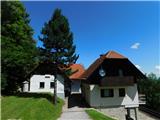 2
2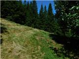 3
3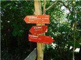 4
4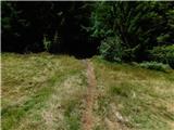 5
5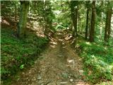 6
6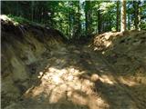 7
7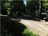 8
8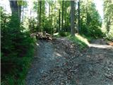 9
9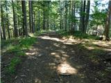 10
10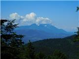 11
11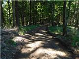 12
12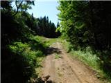 13
13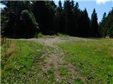 14
14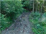 15
15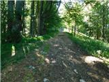 16
16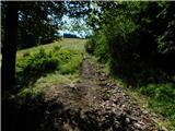 17
17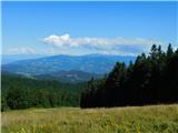 18
18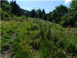 19
19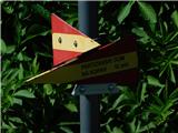 20
20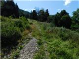 21
21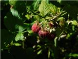 22
22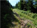 23
23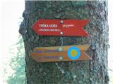 24
24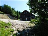 25
25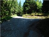 26
26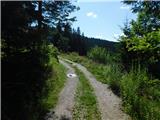 27
27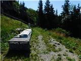 28
28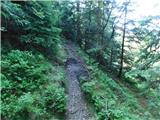 29
29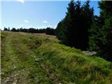 30
30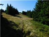 31
31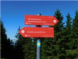 32
32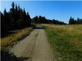 33
33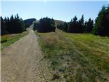 34
34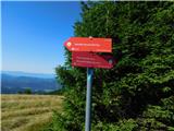 35
35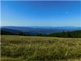 36
36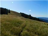 37
37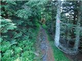 38
38 39
39 40
40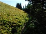 41
41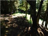 42
42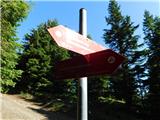 43
43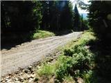 44
44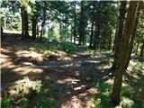 45
45 46
46 47
47 48
48
Discussion about the trip Koča Planinc - Grmovškov dom pod Veliko Kopo
To post a comment you must log in:
If you do not yet have a username, you must first
register.