Koča pod slapom Rinka - Orlovo gnezdo
Starting point: Koča pod slapom Rinka (1010 m)
| Latitude/Longitude: | 46,36960°N 14,59860°E |
| |
Walking time: 17 min
Difficulty: easy marked way
Elevation gain: 110 m
Elevation difference along the route: 110 m
Map: Kamniške in Savinjske Alpe 1:50.000
Recommended equipment (summer):
Recommended equipment (winter):
Views: 34.497
 | 3 people like this post |
Access to starting point:
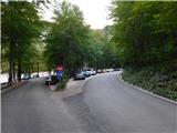
We drive into Logarska dolina, then follow the main road towards the head of the valley, where we park at the parking lot by the turning point near Bar Pod slapom, also known as Koča pod slapom Rinka.
Entry by motor vehicle into Krajinski park Logarska dolina requires payment of an entry fee or ecological tax, which amounts to 10 € for a passenger car (7 € for motorcycles, 20 € for vans). The fee is collected during the tourist season (from spring to the end of October) and also applies to electric vehicles. Payment of the tax includes the use of all parking lots within the valley. Entry is free for pedestrians and cyclists.
The current price list is available on the official website of Krajinski park Logarska dolina.
Route description:
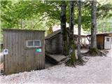
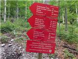
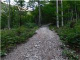
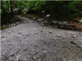
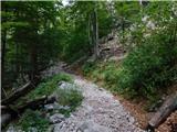
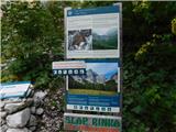
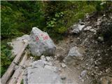
From the place where we parked, we first walk to Bar Pod slapom, then head onto the marked path with numerous mountain destinations indicated. We continue along the mountain trail through the forest (a slightly less steep tourist path leads a bit more to the left), which joins the tourist path after a few minutes of ascent, and then continue with an easy climb to the junction near the waterfall.
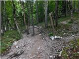
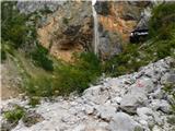
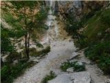
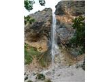
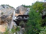
Here, the path to the left over the small bridge continues towards Okrešelj, but we proceed straight and walk to the viewpoint of Slap Rinka, taking care not to get too close to the wall as there is a risk of falling rocks.
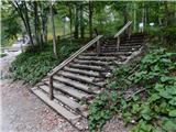
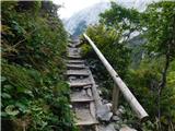
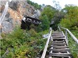
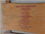
In front of the waterfall we turn sharply right and ascend via the steep maintained path, partly on steps, in two to three minutes to Orlovo gnezdo.
Starting point - Slap Rinka 0:15, Slap Rinka - Orlovo gnezdo 0:02.
The description and images refer to the situation in September 2026.
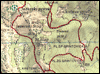
The trip can be extended to the following destinations: Dom na Okrešlju (1 h),
Kamniška koča na Kamniškem sedlu (2 h 30 min),
Bivak pod Mrzlim vrhom (2 h 45 min),
Ledinski vrh (3 h 15 min),
Vellacher Turm/Storžek (3 h 30 min),
Velika (Koroška) Baba (4 h 15 min),
Mrzla gora (4 h 15 min),
Turska gora,
Brana (3 h 30 min),
Mala Rinka (4 h 15 min),
Štajerska Rinka (4 h 30 min),
Planjava (4 h 30 min),
Koroška Rinka,
Kranjska Rinka,
Skuta (5 h)
Photos:
 1
 2
 3
 4
 5
 6
 7
 8
 9
 10
 11
 12
 13
 14
 15
 16
 17
 18
 19
Discussion about the trip Koča pod slapom Rinka - Orlovo gnezdo
|
| Gost31. 10. 2007 |
I recommend extending the trip to the hut at Okrešelj. There opens a wonderful view of the Savinja mountains.
|
|
|
|
| počasni8. 11. 2008 |
I was at Okrešelj in spring when there was still plenty of snow. It was wonderful, the hut was open, so we got tea and schnapps.
The path to the hut is interesting and varied, you go over the top of the waterfall and past the source of the Savinja.
Those with fitness and time can extend the trip from Okrešelj to Kamniško sedlo via a more demanding secured path.
|
|
|
To post a comment you must log in:
If you do not yet have a username, you must first
register.