Kočevje (Rudnik) - Lake Kočevje (circular path around the lake)
Starting point: Kočevje (Rudnik) (494 m)
| Latitude/Longitude: | 45,64520°N 14,87160°E |
| |
Route name: circular path around the lake
Walking time: 50 min
Difficulty: easy unmarked way
Elevation gain: -4 m
Elevation difference along the route: 40 m
Map:
Recommended equipment (summer):
Recommended equipment (winter):
Views: 5.660
 | 3 people like this post |
Access to starting point:
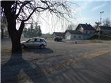
We drive to Kočevje, where from the traffic-light intersection we continue in the direction of Šalka vas and Rog (Baza 20). Still before Kočevje ends, signs for Rudniško jezero direct us to the left onto a side road, along which we drive to the parking lot, which is situated by the lake.
Route description:
The following describes the circular path around the lake, which runs in the counterclockwise direction.
From the parking lot, we first walk to the shore of the lake, where we step onto a wide macadam path, which we follow to the right. At first we walk without changes in altitude, then we quickly arrive at the main beach of the lake.
At the main beach of the lake, we go a little to the right and temporarily ascend slightly, so that we move away from the shore (along the shore some paths continue, which are further on quite overgrown). The path ahead leads us along the edge of Šalka vas, where we pass abandoned structures of the former brown coal mine, and the path slowly turns more to the left, at the junctions also following the left paths. When the path reaches the northern side of the lake we walk along the plantation "old fruit species - gene bank Jezero Kočevje", after the plantation we choose the left path, which descends slightly and approaches the shore of Rudniško jezero. A few more minutes of walking on the macadam path follow, then we reach the asphalt road, along which we continue to the parking lot where we started and where the described path ends.
The description and pictures refer to the condition in January 2020.

Photos:
 1
1 2
2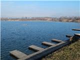 3
3 4
4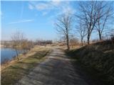 5
5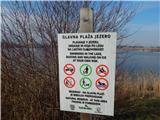 6
6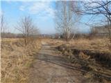 7
7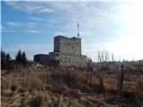 8
8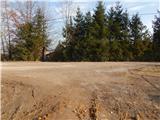 9
9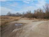 10
10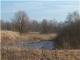 11
11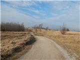 12
12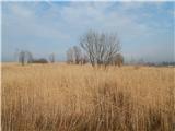 13
13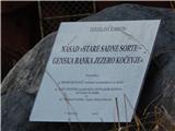 14
14 15
15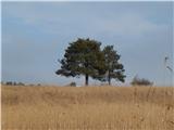 16
16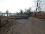 17
17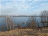 18
18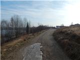 19
19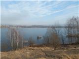 20
20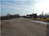 21
21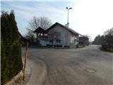 22
22 23
23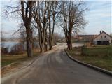 24
24
Discussion about the trip Kočevje (Rudnik) - Lake Kočevje (circular path around the lake)
To post a comment you must log in:
If you do not yet have a username, you must first
register.