Starting point: Kopačnica (499 m)
| Latitude/Longitude: | 46,12380°N 14,07450°E |
| |
Walking time: 1 h 40 min
Difficulty: easy marked way
Elevation gain: 527 m
Elevation difference along the route: 527 m
Map: Škofjeloško in Cerkljansko hribovje 1:50.000
Recommended equipment (summer):
Recommended equipment (winter):
Views: 9.206
 | 1 person like this post |
Access to starting point:
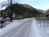
From Škofja Loka we drive towards Gorenja vas and further to Hotavlje, where we turn right in the direction of the village Leskovica. The road then soon brings us to Kopačnica, where we notice signs for Ermanovec, which direct us left over the bridge. Because at the starting point there are no suitable parking spots, it is better to drive a bit further uphill with the car on the narrower road, which through the hamlet Kopačnica brings us into the ravine of the stream Podkovščica. We park above the village at a suitable spot beside the road.
To the starting point we can also come from the direction of Žiri and Cerkno.
Route description:
Above the village, the road by which we have parked gradually turns into a cart track, which ascends moderately along the stream Podkovščica. The cart track along which we walk crosses the mentioned stream several times, then at the partial rubble of the ravine turns sharply to the left, where it also ascends somewhat more steeply. The path ahead ascends diagonally for a few minutes, then brings us to a wide indistinct ridge, where it turns right again. Further on we follow the blazes; the path brings us in a moderate ascent through the forest to the nearby forest road, which we follow to the right (at the place where we step onto the road there are no blazes).
We continue the ascent along the increasingly panoramic road, which with fine views of Blegoš and the surrounding hills brings us to the homestead Erženovše. Above the farm, macadam replaces asphalt, and after 3 minutes of further walking we arrive at a marked crossroads by which we notice a larger chapel.
From the crossroads, which is located on the main ridge of the 1005 m high Štor, we continue left in the direction of Dom na Ermanovcu, which we reach after 5 minutes of further walking.
From the hut we continue straight along the road, which after 5 minutes of further walking brings us to the chapel, beside which there is a larger bell. At the chapel there is also a junction, where we continue along the cart track in the direction of Ermanovec, to which we still have 15 minutes of walking. The path ahead gently ascends along the cart track, which with nice views in 10 minutes brings us to the other side of this panoramic slope. Here the path turns left and ascends more steeply. We follow this path, which is somewhat steeper in the upper part, all the way to the top of Ermanovec.
Just a few steps before the top we will notice on the left side a nice vantage point, from which a beautiful view opens up.

The trip can be extended to the following destinations: Štor
Photos:
 1
1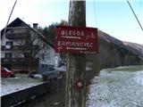 2
2 3
3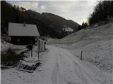 4
4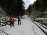 5
5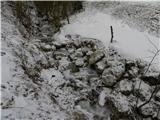 6
6 7
7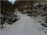 8
8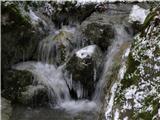 9
9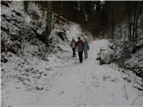 10
10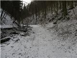 11
11 12
12 13
13 14
14 15
15 16
16 17
17 18
18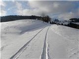 19
19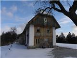 20
20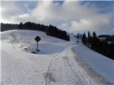 21
21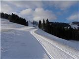 22
22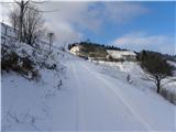 23
23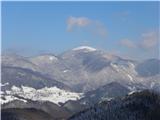 24
24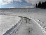 25
25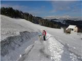 26
26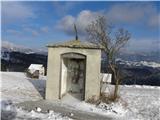 27
27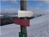 28
28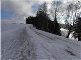 29
29 30
30 31
31 32
32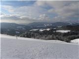 33
33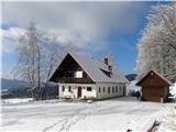 34
34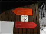 35
35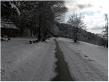 36
36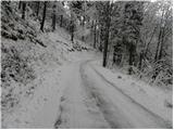 37
37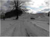 38
38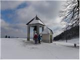 39
39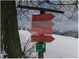 40
40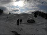 41
41 42
42 43
43 44
44 45
45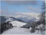 46
46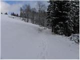 47
47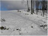 48
48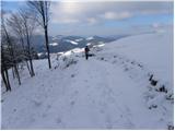 49
49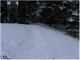 50
50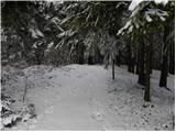 51
51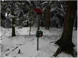 52
52 53
53
Discussion about the trip Kopačnica - Ermanovec
To post a comment you must log in:
If you do not yet have a username, you must first
register.