Pod Peco/Koprein Petzen - Planina Zgornja Luža
Starting point: Pod Peco/Koprein Petzen (1280 m)
| Latitude/Longitude: | 46,50720°N 14,71230°E |
| |
Walking time: 1 h
Difficulty: easy marked way
Elevation gain: 293 m
Elevation difference along the route: 323 m
Map: Kamniške in Savinjske Alpe 1:50.000
Recommended equipment (summer):
Recommended equipment (winter): ice axe, crampons
Views: 2.432
 | 1 person like this post |
Access to starting point:
Over the border crossing Jezersko or Pavličevo sedlo we drive to Železna Kapla, and there in the beginning of the settlement, we notice signs for Lepena / Leppen, which point us to the right. The mentioned road then through the mentioned village brings us to the village Pod Peca / Koprein-Petzen, where it starts to ascend more steeply. The road higher up levels out and past the starting point for Topica / Topitza brings us to a small church. We continue on the main road which loses its asphalt surface and only a little after that starts descending. Only about 100 meters ahead we come to a junction, where we continue right in the direction of Peca / Petzen (left Globasnica / Globasnitz) on the road which only a little further brings us to a gate, near which we also park.
Route description:
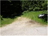
From the starting point, we continue on the forest road closed to traffic, which in 5 minutes of light descent brings us to a junction at the beginning of the mountain pasture Luža.
We continue left in the direction of "Petzen" on the road which starts ascending by the edge of the mountain pasture. After approximately 20 minutes of walking, we will notice on the left side of the road signposts for Peca, which point us sharply left on an ascending cart track. The mentioned cart track in a diagonal ascent quickly brings us to a newly built forest road, which we follow to the left. After some 10 meters of walking on the mentioned road we go right on an ascending cart track, on which we ascend through the spruce forest. After approximately 1 hour of walking from the starting point, we again step on a macadam road, on which we in a few steps ascend to the mountain pasture Zgornja Luža.
Photos:
 1
1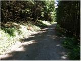 2
2 3
3 4
4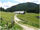 5
5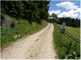 6
6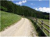 7
7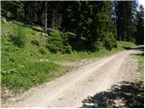 8
8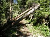 9
9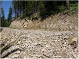 10
10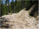 11
11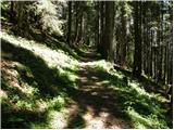 12
12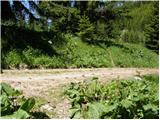 13
13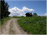 14
14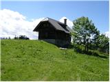 15
15
Discussion about the trip Pod Peco/Koprein Petzen - Planina Zgornja Luža
To post a comment you must log in:
If you do not yet have a username, you must first
register.