Korensko sedlo - Kamnati vrh/Steinberg (by road)
Starting point: Korensko sedlo (1073 m)
| Latitude/Longitude: | 46,51720°N 13,75140°E |
| |
Route name: by road
Walking time: 2 h
Difficulty: easy marked way
Elevation gain: 585 m
Elevation difference along the route: 585 m
Map: Kranjska Gora 1:30.000
Recommended equipment (summer):
Recommended equipment (winter):
Views: 7.045
 | 1 person like this post |
Access to starting point:
From Kranjska Gora or Rateče we drive to Podkoren, and then we continue driving towards Korensko sedlo saddle, which is the starting point for our tour.
Route description:
From the parking lot on Korensko sedlo saddle, we first cross the border, then continue on the asphalt road towards Beljak. After a good 5 minutes of walking, we will notice yellow mountain signposts on the right side, which direct us to the traffic-closed forest road (direction Steinberg).
The initially gentle road soon begins to ascend more steeply, and it brings us after approximately 1 hour of walking out of the forest onto a larger clearing, from which a nice view opens up on the nearby Dobrač. Here the road flattens, and it turns a little to the right, where it then crosses the slopes towards the east. The increasingly poor road soon ends, and we continue to the right on a steep footpath, which climbs straight up the slope. After approximately 5 minutes of steep ascent, the path turns to the left and flattens. A gentle diagonal ascent through the forest follows, which ends on Rekaršica saddle, on which there stands a smaller shepherd hut.
From Rekaršica we continue on the Austrian forest road, which ascends along the border ridge. The road soon turns a little to the left, and we follow it only to the spot where a marked footpath branches off to the right, which further ascends parallel to the road. After a few minutes of diagonal ascent we step on a smaller ridge, where from the left side the path from the village Strmec/Krainberg joins. We continue sharply right on a moderately steep path, on which in less than 5 minutes of further walking we ascend to Kamnati vrh.

Photos:
 1
1 2
2 3
3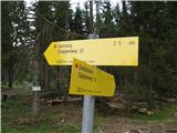 4
4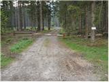 5
5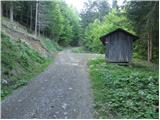 6
6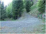 7
7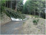 8
8 9
9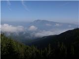 10
10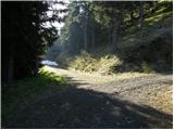 11
11 12
12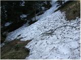 13
13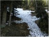 14
14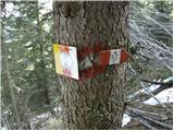 15
15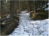 16
16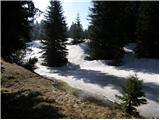 17
17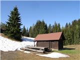 18
18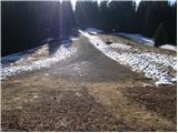 19
19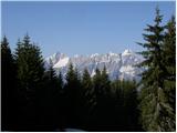 20
20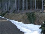 21
21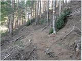 22
22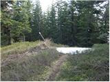 23
23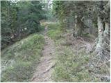 24
24 25
25
Discussion about the trip Korensko sedlo - Kamnati vrh/Steinberg (by road)
To post a comment you must log in:
If you do not yet have a username, you must first
register.