Koroška Bela (RC Kres) - Planina Stamare (over ridge of Alničje)
Starting point: Koroška Bela (RC Kres) (630 m)
Starting point Lat/Lon: 46.4307°N 14.0982°E 
Path name: over ridge of Alničje
Time of walking: 2 h 30 min
Difficulty: partly demanding unmarked way
Difficulty of skiing: no data
Altitude difference: 770 m
Altitude difference (by path): 770 m
Map: Karavanke - osrednji del 1 : 50.000
Access to starting point:
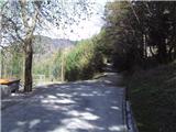
From highway Ljubljana - Jesenice we go to the exit Lipce and we drive right towards Jesenice. At the first traffic light crossroad (Slovenski Javornik) we drive right in the direction of Lj. Next follows the second crossroad with traffic lights, where we turn left and drive through the railway underpass, and in the next smaller crossroad we go right towards Koroška Bela. We drive past last bus stop (store on the left) in the village. We look for crossroad in the center of the village, where there stands a church memorial. From here we go on the main road through the village, which leads uphill towards the north. After approx 100 meters, on the right we notice bridge, but we drive straight for additional 50 meters, where we run into the left turn-off of the road. We go there, and in uphill we cross one more (Koroška ulica) street and we continue (church lower on the left) all the way to the spot outside of the settlement, where we run into abandoned tennis court (RC Kres).
Path description:
From the starting point, we go on the right path (cart track) uphill, where we run into blazes. Soon follows right and behind it also left turn. On the right side of the latter we notice the path in the forest. We leave the marked path, we go there, and we start ascending. The path turns left on the west slope of Alničje and is still quite steeply ascending towards the north. Soon, when steepness starts a little decreasing we ignore first sharp turn-off to the right (back). Not long afterwards, little before path almost flattens, we run into also on second, less noticeable, which leads steep uphill to the right, towards the north. We choose the latter and we start quite steeply ascending. The path in few hairpin turns it brings us to southwestern edge of the ridge, where we leave it, because it after few meters ends, and we step on the mentioned steep edge of the ridge. We go to the left towards the summit, in doing so we stick to the forest edge on the left. Higher, when we notice a footpath, while moving forward we can help by grabbing trees (caution! dry trees). When we notice some rocks on the path, we are at the summit. We ascend on the ridge and there we continue towards the north. Soon follows a steeper ascent, in the middle of which a view starts opening back into a valley. After this for some time we walk on a moderately ascending, interesting ridge and we have a view on both side. Higher the ridge widens, and the path after this again ascends a little steeper to the very highest point of the ridge, where it again narrows a little. Here a view opens up towards Potoški Stol and Ljubljana basin. Further, we descend on the ridge to a saddle below Debelo Brdo, where below the spruce on the right there are situated bench and inscription book.
We continue on the path on the right side of spruce in the forest. The path at first crosses eastern slope of Debelo Brdo and after this for a short time ascends a little to the left. When it flattens, it brings us to a marked path Pristava - Valvasor, on which we continue right, - towards the east. A gently sloping path leads us to a clearing, where it again ascends and eventually it brings us to a forest road on 1270 meters (vicinity of the mountain pasture Olipova planina). Here we go on the road to the left to its end, where we will on the right notice a barely visible footpath uphill towards the north. When we ascend there and it vanishes, we turn to the left through a wide clearing (landslide from Kamnitnik (in the winter unrecommended)) towards the forest, by the edge of which we walk 100 meters uphill, whereupon we notice the path which runs to the left through the forest. It brings us to a stream which we cross, and next to it we ascend uphill towards the mountain pasture. We run into a wooden bridge, and first cottage on the left (behind it a viewpoint). When we step on the forest road, after few 10 meters it brings us on the sunny mountain pasture Stamare, with a shepherd and hunting cottage.
Pictures:
 1
1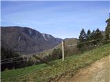 2
2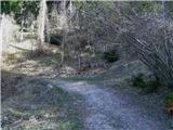 3
3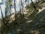 4
4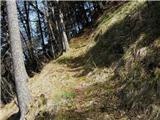 5
5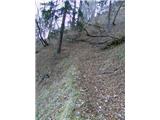 6
6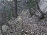 7
7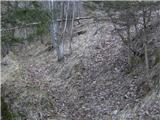 8
8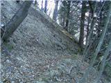 9
9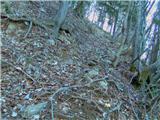 10
10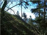 11
11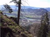 12
12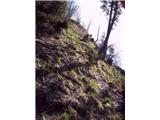 13
13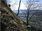 14
14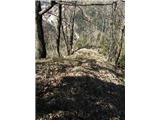 15
15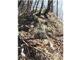 16
16 17
17 18
18 19
19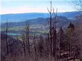 20
20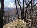 21
21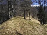 22
22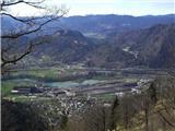 23
23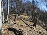 24
24 25
25 26
26 27
27 28
28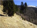 29
29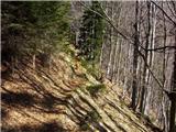 30
30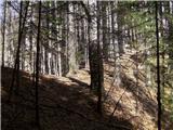 31
31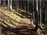 32
32 33
33 34
34 35
35 36
36 37
37 38
38 39
39 40
40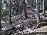 41
41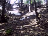 42
42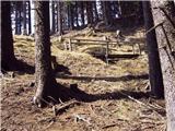 43
43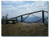 44
44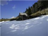 45
45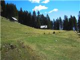 46
46