Kozje - Oslica (Bohor) (čez Bredič)
Starting point: Kozje (270 m)
| Latitude/Longitude: | 46,07288°N 15,55377°E |
| |
Route name: čez Bredič
Walking time: 4 h 20 min
Difficulty: difficult marked way
Elevation gain: 590 m
Elevation difference along the route: 740 m
Map:
Recommended equipment (summer):
Recommended equipment (winter): ice axe, crampons
Views: 96
 | 1 person like this post |
Access to starting point:
a) We drive to Šentjur, then follow the signs for Podsreda and Planina pri Sevnici. At the end of Šentjur we turn left towards Podsreda, then continue on a rather winding road to the settlement of Kozje, where we park in one of the arranged parking areas in the center of the settlement.
b) From the Brežice - Podčetrtek road at the edge of the settlement Bistrica ob Sotli we turn left (from the direction of Podčetrtek right) towards Podsreda. We bypass the center of Podsreda on the right side, then drive to the settlement of Kozje, where we park in one of the parking areas in the center of the settlement.
c) From the direction of Sevnica and Krško we drive to Brestanica, then follow the signs for Podsreda. A short ascent follows, then a descent into Podsreda, where at the end of the settlement we turn left towards Šentjur and Kozje. When we arrive in Kozje we park in an arranged parking area in the center of the settlement.
Route description:
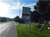
From the parking area we walk to the western side of the Kozje pond, where signs for Grad Kozje direct us onto a poorer road that ascends transversely to the left to a narrower asphalt road leading to a nearby house; we merely cross this road and follow the signs for the old castle. The path ahead turns into a strip of shrubbery and higher up forest, through which we begin to ascend steeply; on steeper sections we climb wooden steps and in places some protection also helps us. During the ascent we also pass several information boards of the educational trail, and we ascend quite steeply all the way to the registration box on the hill where Grad Kozje once stood.
From the summit we continue along the ridge, where in a few steps we descend to a marked junction at which a gentle path also joins from the left; we continue right towards the summit of Bredič.
The path ahead leads us along the ridge called Zmajev hrbet, where we mostly ascend gently to moderately, occasionally descending a little and crossing a steeper slope where, especially when wet, a little more caution is needed, otherwise the path on this section is not technically demanding. During the ascent along the ridge a little view occasionally opens, as the path runs almost entirely along a ridge overgrown with forest and shrubbery that drops steeply mainly to the right, eastern side towards the valley.
Later we reach a short, more exposed and technically demanding section where we descend steeply for a few meters over rocky terrain, where a rope is strung as "help", but we do not know in what condition it will be upon our arrival, so it is safer to help ourselves by gripping the rocks.
The ridge ahead becomes less steep and we continue for some time without major ascents; below the summit of Bredič the path becomes quite steep for a few minutes. When the path levels out we quickly reach the registration box and stamp on the mentioned summit.
From Bredič we continue westwards, where in a gentle descent we quickly reach the end of a forest road along which we continue for a short time. From the road we go a little further left onto a marked footpath that ascends a small hill, then descends back to the road which in the meantime has made a longer left hairpin. This time too we do not walk long on the road and the markings already lead us left onto a footpath that first ascends gently, then begins to descend steadily towards the nearby marked junction.
At the junction a path branches off to the right leading to Pilštanj (in descriptions starting point Stari trg); we continue slightly left in the direction towards Bohor. A moderate descent follows along a fairly overgrown cart track; lower down we cross a forest road once more. When we return to the road we continue along it to a crossroads where we continue on the slightly right-hand road, beside which the markings also continue (here, if we continue sharply left we can return to Kozje). Ahead we begin to ascend again; at several crossroads we follow the markings and higher up we join the path from Lesično.
Further on the path also leads us along forest roads where we follow the markings; the path also leads us past the Tovornik homestead, to which we descend a little.
After the homestead we go slightly right and begin to ascend again; higher up we keep to the left directions.
Higher up we reach a junction at Brest, from where we continue left (right Koča na Bohorju) and continue the path further along a gravel road. When the wider road turns right and begins to descend we continue straight onto a side road that continues without major changes in elevation. On the section where the road begins to descend we continue right onto a cart track that ascends across a scenic grassy slope; when we reach the forest the cart track soon turns sharply right, then the path curves in a semicircle to the left. A little further we leave the forest and continue left to the highest point of Oslica, which is located beside a solitary tree.
Kozje - Grad Kozje 0:20, Grad Kozje - Bredič 1:40, Bredič - razpotje Vilni vrh 0:20, razpotje Vilni vrh - Log nad Lesičnim 0:25, Log nad Lesičnim - Brest 1:20, Brest - Oslica 0:15.

Photos:
 1
1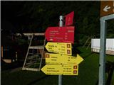 2
2 3
3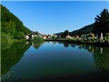 4
4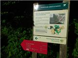 5
5 6
6 7
7 8
8 9
9 10
10 11
11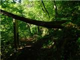 12
12 13
13 14
14 15
15 16
16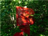 17
17 18
18 19
19 20
20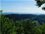 21
21 22
22 23
23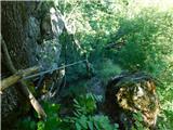 24
24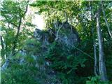 25
25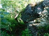 26
26 27
27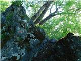 28
28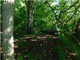 29
29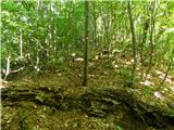 30
30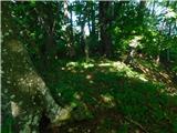 31
31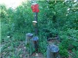 32
32 33
33 34
34 35
35 36
36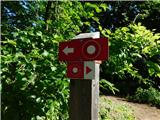 37
37 38
38 39
39 40
40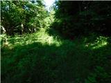 41
41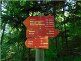 42
42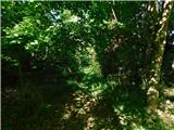 43
43 44
44 45
45 46
46 47
47 48
48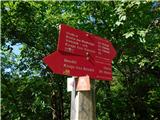 49
49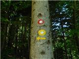 50
50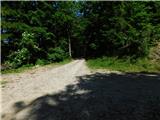 51
51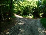 52
52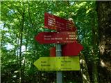 53
53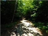 54
54 55
55 56
56 57
57 58
58 59
59 60
60 61
61 62
62 63
63 64
64 65
65 66
66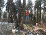 67
67 68
68 69
69 70
70 71
71 72
72 73
73 74
74 75
75 76
76 77
77 78
78 79
79 80
80 81
81
Discussion about the trip Kozje - Oslica (Bohor) (čez Bredič)
To post a comment you must log in:
If you do not yet have a username, you must first
register.