Križovec - Barentaler Kotschna/Struška (by road)
Starting point: Križovec (1222 m)
| Latitude/Longitude: | 46,46990°N 14,08380°E |
| |
Route name: by road
Walking time: 2 h 15 min
Difficulty: easy unmarked way
Elevation gain: 722 m
Elevation difference along the route: 722 m
Map: Karavanke - osrednji del 1:50.000
Recommended equipment (summer):
Recommended equipment (winter): ice axe, crampons
Views: 18.140
 | 1 person like this post |
Access to starting point:
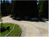
From the Ljubljana - Jesenice motorway we take the Lipce exit and continue on the road towards Jesenice. When we reach the traffic-light intersection where we join the old road, we continue right towards Žirovnica. We follow this road only briefly since at the next somewhat larger intersection (traffic light), we continue left towards Javorniški Rovt. The road then passes through an underpass (railway) and turns left (right Koroška Bela). We follow the road that begins to climb steeply higher up in the direction of Javorniški Rovt. The road leads us past the Pristava house (the house is slightly above the road) and after the house we reach the next (smaller) intersection where we turn right. We then continue on the gravel road all the way to Križovec, which we recognise by the junction of several roads (there are a few small parking areas at the junction and a cross).
Route description:
From Križovec we continue past the cross along the road towards Pusti Rovt. At the beginning the road leads us past a barrier and then climbs gently through the forest. After about 15 minutes of walking it turns left and brings us out of the forest to the lower edge of Pusti Rovt. We continue on the road to which a marked path from Dom Pristava on Javorniški Rovt joins from the right and after a few dozen steps of further walking this brings us to the shepherd's hut on Pusti Rovt.
From the shepherd's hut we continue on the road which in the upper part of Pusti Rovt turns right into the forest. A little further on we reach a marked junction where we continue slightly right (left Golica) on a moderately steep path.
Just a few steps further we reach a newer forest road and follow it to the right (straight ahead the old marked path continues to Sedlo Kočna).
The road then passes onto the slopes of Struška across which we ascend transversely to the right. The path first leads us through forest and higher across a scenic avalanche slope. The gradient eases higher up and we climb through the last belt of dense forest to Belska planina or Svečica where a mountain shepherd's hut stands and from where a wonderful view opens.
From the alpine pasture we continue eastwards. From the marked path which turns slightly more to the right we soon go a little left onto an otherwise traceable but not heavily trodden unmarked trail leading towards the highest summit of Struška (if we continued on the marked path we would reach Planina Seča).
The turn-off from the marked path is located in a small grassy gully from where we begin to ascend on an unmarked path that leads us through dwarf pine. Further on we also ascend on a sometimes harder-to-follow pathlet that for some time runs along a kind of gully or small valley. At the top of this small valley the path turns right into the open world of the upper slopes of Struška which are partly overgrown with dwarf pine so we carefully follow the poorly visible trail so as not to stray into difficult terrain. A little below the highest summit of Struška the path brings us onto a ridge along which we then continue to the summit from where a fine view opens towards Slovenia and Austria.
Part of the route from Belska planina to the summit is orientationally somewhat more difficult and in fog even more caution is needed so as not to stray.
Križovec - Pusti Rovt 0:15, Pusti Rovt - turn-off for Struška 0:10, turn-off for Struška - Belska planina 0:55, Belska planina - Struška 0:45.

Photos:
 1
1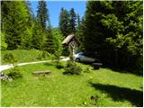 2
2 3
3 4
4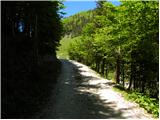 5
5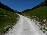 6
6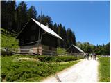 7
7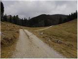 8
8 9
9 10
10 11
11 12
12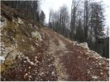 13
13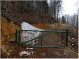 14
14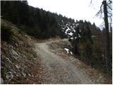 15
15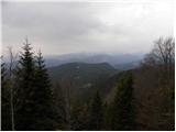 16
16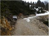 17
17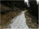 18
18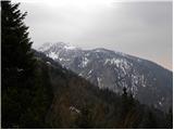 19
19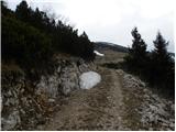 20
20 21
21 22
22 23
23 24
24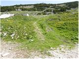 25
25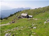 26
26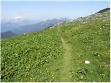 27
27 28
28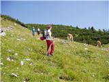 29
29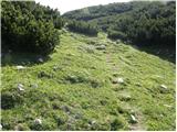 30
30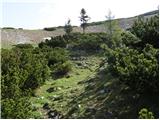 31
31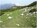 32
32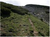 33
33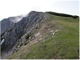 34
34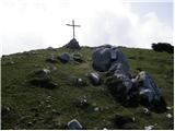 35
35
Discussion about the trip Križovec - Barentaler Kotschna/Struška (by road)
|
| Planinček21. 02. 2008 |
When they started building the road to Planina Svečica I was quite disappointed. But now when I go to Struška in winter, it is much more accessible than before. Of course I don't approve of the destruction of nature, but the ascent is now really easier.
|
|
|
|
| Biser gora22. 02. 2008 |
As for the road, I don't like anything about it. That mountain path that runs above the road is much nicer than this road that they use for racing with motorcycles and quads. When they ride roaring to the top of Struška and disturb hikers and animals. If the road is closed, motorcyclists should respect that too!
|
|
|
|
| Parkeljc16. 09. 2009 |
Yeah yeah yeah, motorcyclists, quads and the rest of that RABBLE. Yes, literally, as I wrote. About three years ago I went with my daughter from Potoki village to Ajdna. You can't believe, if we hadn't moved aside (just in case), that rabble on motorcycles would have run us over. You can't imagine the brutality with which they sped around the corner on the PATH !!! Hello ?! And even higher up they wanted to fight with the forest owner who was hauling wood with a mini bulldozer, telling him to get off the path. And all ride unregistered motorcycles, police do NOTHING. And even if they catch one, the fine is a measly 20 EUR!! SHAME. And they call that a "fine". Last year police were checking "driving in natural environment..." on Krvavec in winter. Offenders were mostly doctors, surgeons,.. in short only the wealthier and instead of being fined..., if a dog poops on the lawn God forbid, it's 300 EUR ???!!! BYE STATE, BYE SENSE !!!
|
|
|
|
| viharnica4. 03. 2015 |
Has anyone been to Struška these days and can tell me first-hand what the conditions are like? Probably no issues up to Svečica.
|
|
|
|
| zlatica22. 11. 2017 |
Majda, beautiful, on all pictures I admired the most the wonderful sky with such and different clouds and extensive winter panoramas like expanded horizons.... I enjoyed it a lot. regards 
|
|
|
|
| Majdag22. 11. 2017 |
Thanks, the clouds above Struška are really particularly interesting. They are also a joy to me.
|
|
|
|
| Jusk11. 09. 2019 |
Yesterday walked the path from Križovec to Seča, along the border path to the top of Struška, down to Belska planina and further to Suha saddle and back to Križovec by road. The path is without special features, quite windy at the top.. but the border path to the top is interesting, all the time among dwarf pines views all around beautiful and solitary, the whole path I met only 2 hikers
|
|
|
To post a comment you must log in:
If you do not yet have a username, you must first
register.