Kuna Konavoska - Ilijin vrh
Starting point: Kuna Konavoska (686 m)
| Latitude/Longitude: | 42,55302°N 18,36411°E |
| |
Walking time: 2 h 30 min
Difficulty: easy marked way
Elevation gain: 548 m
Elevation difference along the route: 575 m
Map: Turistično-planinski zemljevid Konavle
Recommended equipment (summer):
Recommended equipment (winter):
Views: 932
 | 1 person like this post |
Access to starting point:
On the Adriatic main road from Dubrovnik towards Cavtat 50 meters before the turn-off for Cavtat we turn left in the direction of Pridvorje (11 km). We follow the road to the settlement Pridvorje. At the end of the settlement, we turn left in the direction of Kuna (5 km). We follow the steep zigzag road to the settlement Kuna Konavoska. We park at the sign, which marks the beginning of the settlement or at an appropriate place by the road.
Route description:
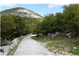
From the settlement sign, we follow the road to houses in the village Kuna. We go past the information board of the mountain path. Behind the house with house number 18 we go right up the stairs, where we start following the blazes. The path is well marked, easy and slowly ascends in hairpin turns. At the marked spot, it splits into two directions. For the ascent, I recommend the shorter, steeper path (faded sign "vrh"), and for the return the gentler path. Both paths join higher up. On the path we go past seven crosses and two information boards on local fauna. The closer we are to the summit, the nicer the view on all sides.
Photos:
 1
1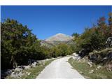 2
2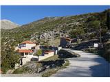 3
3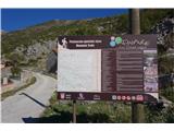 4
4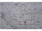 5
5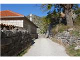 6
6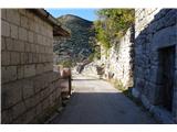 7
7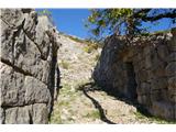 8
8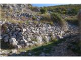 9
9 10
10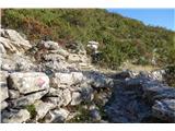 11
11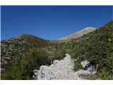 12
12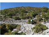 13
13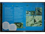 14
14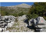 15
15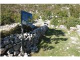 16
16 17
17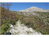 18
18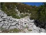 19
19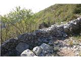 20
20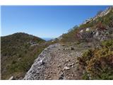 21
21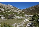 22
22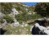 23
23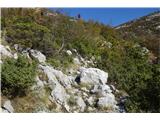 24
24 25
25 26
26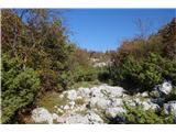 27
27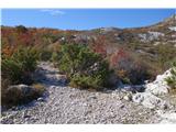 28
28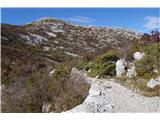 29
29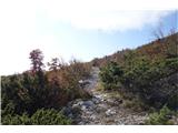 30
30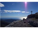 31
31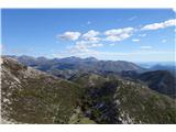 32
32 33
33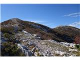 34
34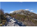 35
35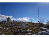 36
36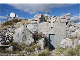 37
37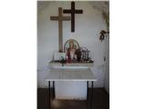 38
38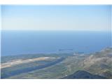 39
39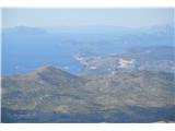 40
40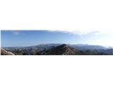 41
41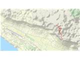 42
42 43
43
Discussion about the trip Kuna Konavoska - Ilijin vrh
To post a comment you must log in:
If you do not yet have a username, you must first
register.