Starting point: Laško (229 m)
| Latitude/Longitude: | 46,16330°N 15,22850°E |
| |
Walking time: 2 h 15 min
Difficulty: easy marked way
Elevation gain: 707 m
Elevation difference along the route: 725 m
Map: Posavsko hribovje - zahodni del 1:50.000
Recommended equipment (summer):
Recommended equipment (winter): crampons
Views: 16.217
 | 1 person like this post |
Access to starting point:
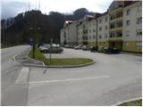
A) From the Ljubljana - Maribor highway take the Celje - center exit, then continue driving towards Laško and Zidani Most. When we arrive in Laško, at the traffic light opposite the gas station, we turn right in the direction of Spodnja and Zgornja Rečica and Huda Jama. We park on one of the parking lots near the Laško fire station.
B) From Zasavje or Posavje we drive to Zidani Most or Rimske Toplice, then continue driving towards Celje. When we arrive in Laško, signs for Spodnja and Zgornja Rečica and Huda Jama direct us to the left. Here we continue left and then park on one of the parking lots near the Laško fire station.
Route description:
At the Laško fire station we notice the start of the path that leads to Šmohor. The path first leads past the fire station, then after about 10 m we arrive at a small chapel, next to which we notice hiking signposts. Here we continue along the ascending road in the direction of Šmohor, Kala and Mrzlica, but at the first fork we follow it to the right and then leave it after a few meters, as the blazes direct us left onto a marked footpath that first ascends via steps. Above the houses the path continues across a meadow, which brings us at the power line pole to a grassy cart track. Further, with a view of Laško and Hum, we walk to the edge of the forest, then continue the path past a shrine into the forest belt. For a short time we ascend along the edge of the forest, then step onto an initially macadam road, along which with nice views on Posavsko hribovje we climb to the asphalt road. We follow the mentioned road to the right, which quickly brings us to a small junction, where to the right a road branches off to the Primož farm. Here we continue straight ahead, following the road to a small hamlet where the asphalt ends. We continue on the marked macadam road (direction Šmohor), from which soon a cart track branches off to the left leading towards Šmohor. We continue the ascent on the mentioned cart track, which in a traverse ascent across a relatively steep slope quickly brings us to the next farm.
From the farm we continue on the cart track that climbs between pasture fences, then enters the forest and forks into two parts. We continue on the lower left cart track, which a few minutes higher joins the macadam road, which we follow to the left. From the road some views open towards Laško and the surroundings, then the blazes direct us right onto an ascending cart track that soon levels out completely, then traverses the slopes to the left. A bit further we briefly join the asphalt road leading to Šmohor, but we continue on the marked footpath that runs parallel to the mentioned road. A little higher, at a larger rock, the path to Malič branches off to the right (straight to Dom na Šmohorju). Here we turn sharply right and ascend on a relatively steep path across an equally steep slope. Ahead the path traverses ascending to the right for some time, then turns slightly to the left and joins the path from Dom na Šmohorju. Here we continue right, where we soon arrive at the paragliding take-off site. Further the path ascends steeply and along the forested western ridge of Malič quickly brings us to the summit.

Photos:
 1
1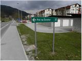 2
2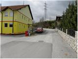 3
3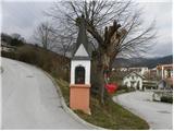 4
4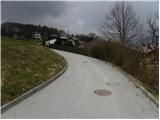 5
5 6
6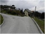 7
7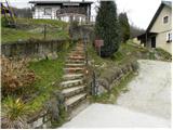 8
8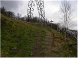 9
9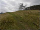 10
10 11
11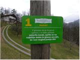 12
12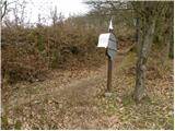 13
13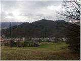 14
14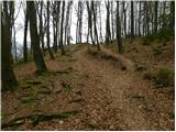 15
15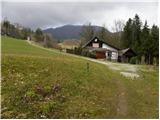 16
16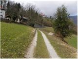 17
17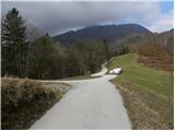 18
18 19
19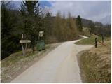 20
20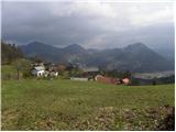 21
21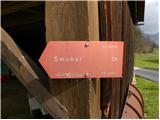 22
22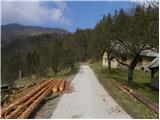 23
23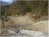 24
24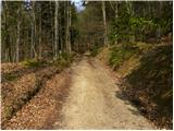 25
25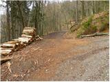 26
26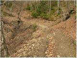 27
27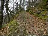 28
28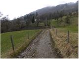 29
29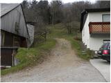 30
30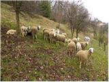 31
31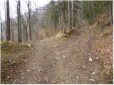 32
32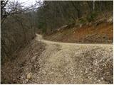 33
33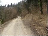 34
34 35
35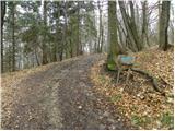 36
36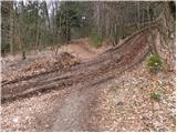 37
37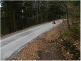 38
38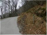 39
39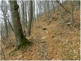 40
40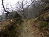 41
41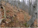 42
42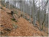 43
43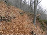 44
44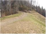 45
45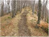 46
46 47
47
Discussion about the trip Laško - Malič
To post a comment you must log in:
If you do not yet have a username, you must first
register.