Lech da Sompunt - Rifugio Sponata
Starting point: Lech da Sompunt (1455 m)
Starting point Lat/Lon: 46.59636°N 11.89473°E 
Time of walking: 40 min
Difficulty: easy marked way
Difficulty of skiing: no data
Altitude difference: 275 m
Altitude difference (by path): 275 m
Map: Tabacco 07 1:25.000
Access to starting point:
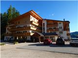
A) Access from Gorenjska: Through the Karawanks Tunnel, we drive to Avstria, and then we continue driving towards Spittal and forward towards Lienz (a little after Spittal highway ends). Further, we drive on a relatively nice and wide road through Drau valley, which brings us in Italy. The road further leads past Dobbiaco / Toblach and Brunico / Bruneck. Only a little after the last-mentioned town, past which leads a bypass road, we turn left into a valley Val Badia. Further, we drive through the mentioned valley to La Villa where only few meters after the sign, which marks settlement we turn right towards the lake Lech da Sompunt. Then we follow an ascending road to Hotel Sompunt, which is located by the mentioned lake.
B) From Primorska side: From Nova Gorica, we drive to Italy and drive forward on the highway to Portogruaro, where at the highway junction we turn in the direction of Belluno. We follow the highway to its end (we don't turn in the direction towards Belluno), and then we continue driving towards Cortina d'Ampezzo. When we get into Cortina d'Ampezzo, we follow the signs for Alpine mountain pass Passo Falzarego. On the mountain pass Passo Falzarego (2105 m) we turn right towards the neighbouring mountain pass Passo Valparola (2192 m), from there we descend into the valley Val Badia. In La Villa we turn right towards Brunico / Bruneck. Only few meters before the sign, which marks the end of the settlement La Villa we turn left towards the lake Lech da Sompunt. Then we follow an ascending road to Hotel Sompunt, which is located by the mentioned lake.
Path description:
At the parking lot by the lake we go left on a footpath following the signs »Sponata, Ütia de Puez«. The path quickly brings us to the road where there is a marked crossing. We go right and we continue on the road which leads on a ski slope upwards. Further, we are ascending on a ski slope from which beautiful views start to open up towards the valley Val Badia and on the mountain group Lavarella. Higher for a short time mountain bike track joins that is also pointed out by the signs by the path. We continue ascending on a ski slope and we soon notice a mountain hut Rifugio Sponata to which only a short ascent follows.
Pictures:
 1
1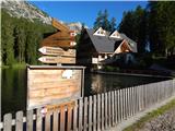 2
2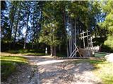 3
3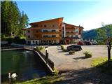 4
4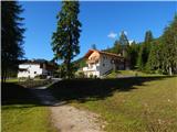 5
5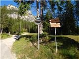 6
6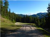 7
7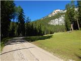 8
8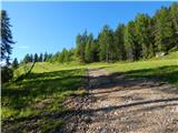 9
9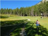 10
10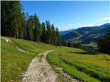 11
11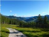 12
12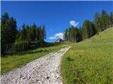 13
13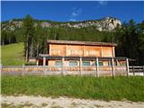 14
14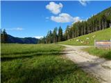 15
15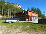 16
16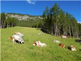 17
17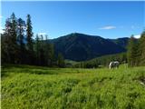 18
18