Livek - Monte Mataiur/Matajur (stara pot)
Starting point: Livek (692 m)
| Latitude/Longitude: | 46,20300°N 13,59960°E |
| |
Route name: stara pot
Walking time: 3 h
Difficulty: easy marked way
Elevation gain: 950 m
Elevation difference along the route: 970 m
Map: Julijske Alpe - zahodni del 1:50.000
Recommended equipment (summer):
Recommended equipment (winter): ice axe, crampons
Views: 15.290
 | 1 person like this post |
Access to starting point:
a) From the direction of Tolmin: We drive to Tolmin, from where we continue driving towards Kobarid. When we reach the settlement of Idrsko, we turn left towards the settlement of Livek. After a short ascent we arrive at Livek, where we park in a suitable place next to the NOB monument and the multipurpose facility.
b) From the direction of Kobarid: From Kobarid we drive towards Tolmin, but only to the settlement of Idrsko, where we turn right towards the settlement of Livek. After the ascent we arrive at Livek, where we park in an arranged area next to the NOB monument and the multipurpose facility.
Route description:
From the NOB monument we walk to the nearby intersection, where we leave the road and continue right in the direction of the marked path to Matajur (left Kolovrat, Nebesa and Livške Ravne, straight Italy and along the road to Avsa, Perati...). In the continuation we first ascend the stairs, above the village the path turns into mostly low forest and a belt of shrubbery. Occasionally a somewhat steeper path higher turns left and leads us to the road, where it levels out. A few dozen steps of easy walking follow and we arrive at the church of St. Peter and Paul.
At the church we go left and quickly arrive in the small village of Perati, where the path leads us past a few houses, and after the settlement from the intersection we continue right uphill. In the continuation the scenic road, which runs between pastures, turns left in a semicircle and before the beginning of the settlement of Avsa leads us to an intersection from which we continue right along the marked path, initially still the road towards Matajur (slightly left the village Avsa and tourist farm Jelenov breg under Matajur, straight the parking lot above the village Avsa and the new path).
The road quickly turns into a cart track, which then begins to ascend moderately and leads us past several older, partly already ruined huts. Higher up from the cart track we switch to a footpath, which temporarily ascends steeply and crosses a pasture fence. The path soon levels out, and the forest thins more and more, so that beautiful views of the surrounding mountains open up to us more and more often. After some time the path widens again into a cart track, which after a few steps turns into a forest road, where at the intersection we continue left (right the shepherd's hut on Idrska planina), at the next intersection we go straight (right Svinska planina) and arrive at the upper part of Idrska planina, where the hut Konjarska guta stands, which is only a few steps away from the path.
Here another of several possible approaches to Mrzli vrh branches off to the left, but we soon turn right from the road onto the marked path, which then quickly reaches another road, where we join the new path from Avsa.
We follow the road to the right along it until the nearby marked fork, where we go right in the direction towards Matajur (straight Dom na Matajure).
In the continuation the path begins to ascend again across a partly grassy slope, from which ever more beautiful views of the surrounding mountains open up to us. Higher up, when the path gradually transitions to the northern slopes, the path from the village Svino joins from the right, and we continue towards Matajur. A few more minutes of traversing ascent follow and we already arrive at the fork below Glava, where straight ahead continues the "Slovenian route" to Matajur and the path by which we can reach Visoka glava, but we continue left uphill and quickly ascend to the scenic eastern ridge of Matajur, where the path from Italy also joins (starting point Mašera / Masseris).
We continue along the mentioned ridge, along which we ascend gently to moderately along the state border between Slovenia and Italy. A few more minutes of increasingly scenic walking follow and we arrive at the summit of Matajur, from where an even beautiful view towards the west opens up to us.
Livek - Perati 0:20, Perati - Avsa 0:10, Avsa - Idrska planina 1:10, Idrska planina - Matajur 1:20.

Photos:
 1
1 2
2 3
3 4
4 5
5 6
6 7
7 8
8 9
9 10
10 11
11 12
12 13
13 14
14 15
15 16
16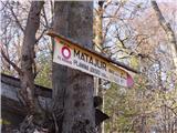 17
17 18
18 19
19 20
20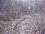 21
21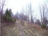 22
22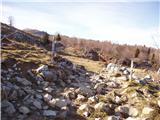 23
23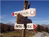 24
24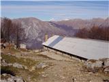 25
25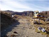 26
26 27
27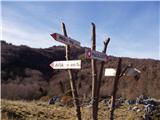 28
28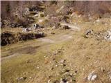 29
29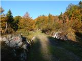 30
30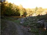 31
31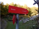 32
32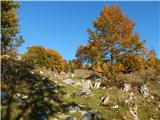 33
33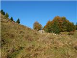 34
34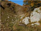 35
35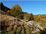 36
36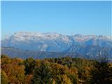 37
37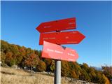 38
38 39
39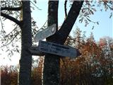 40
40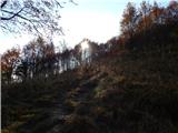 41
41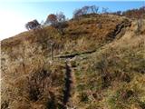 42
42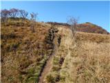 43
43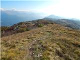 44
44 45
45 46
46 47
47 48
48 49
49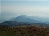 50
50
Discussion about the trip Livek - Monte Mataiur/Matajur (stara pot)
|
| Sarak1. 08. 2025 13:32:15 |
And do you recommend this path for a 2-day tour, where I'd overnight at rifugio peluzzo? Could I return to the starting point the next day via another path?
|
|
|
To post a comment you must log in:
If you do not yet have a username, you must first
register.