Ljubotić (Sv. Ante) - Stapina (čez Bristovac)
Starting point: Ljubotić (Sv. Ante) (260 m)
| Latitude/Longitude: | 44,36584°N 15,32355°E |
| |
Route name: čez Bristovac
Walking time: 3 h 45 min
Difficulty: partly demanding marked way
Elevation gain: 865 m
Elevation difference along the route: 950 m
Map:
Recommended equipment (summer):
Recommended equipment (winter):
Views: 8
 | 0 people like this post |
Access to starting point:
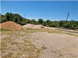
We leave the Adriatic Highway in the village of Tribanj, where shortly before the church we continue left towards Ljubotić; if coming from the direction of Zadar, we turn right after the church. The sign is not immediately noticeable. The steep, narrow and winding ascending road leads us through a desolate slope. Soon the bends end and we ascend past several insignificant junctions to a marked intersection, where we continue left, straight ahead to Mirile and the start of the path to Stap via Zagon. We park in a larger gravel parking lot by the church of Sv. Ante.
Route description:
From the parking lot we return to the road, which we immediately leave and turn right onto the gravel road. The road ascends steeply and descends in places. The road crosses the valley between Obljak (449 m) on the left and Strmoglavica (435 m) on the right. In between, a somewhat closer but very overgrown western path towards Stap branches off almost imperceptibly. At the junction we can cut the bend of the road and arrive in the abandoned village of Livardica and after a few steps along the gravel road we also arrive in the likewise abandoned village of Bristovac. From the starting point to here is 3 km of walking. It is also possible to drive here by car. At the abandoned stone house the markings lead us slightly right into the forest. The first 15 minutes the path is very overgrown with thorns and we step from rock to rock. Extra caution is needed not to step into some hole between the rocks. Then we emerge from the forest onto a kind of mule track that ascends in loops to the edge, east of Velika glavica (664 m). The path levels out and ascends gently to a small saddle between Splovak (705 m) and Ploča (769 m). From the saddle we descend slightly and then cross the eastern slope of the mentioned peak Ploča. Then we ascend again on a rocky path and then descend to a marked junction, where the previously mentioned overgrown path and the path via Zagon join from the right. We continue left and soon arrive in dense forest. The path is laid between rocks and over smooth slabs. Later we walk through less rocky terrain through the forest, with numerous short descents into dolines and some easy rock sections. After 45 minutes of such path through the area called Sjauševac, we arrive at a marked junction, where the path to Kamene galerije and Stapina via Vratarico branches off to the right. The path becomes rocky again, soon we cross the edge and arrive at a large grassy field called Stap. After 15 minutes we arrive in a belt of low shrubs and after a few steps to a junction, next to which is the bivouac Tatekova koliba.
From the hut we continue right. Left Debeli Kuk, Panos and Jelova Ruja. The path begins to ascend through the forest. There are some rocky sections in between. After approximately 20 minutes we arrive at a junction, where we turn right. Straight ahead Visočica. The path soon leaves the dense beech forest and transitions to a grassy slope. A short steep ascent in a loop awaits us, then we already see the monolithic rock of Stapine. We walk on a gentle path that returns again to a belt of forest. Then after a short ascent we arrive at a junction, where we continue right and in a few minutes we are at the registration box below Stapina. The summit is accessible only with appropriate alpine equipment and climbing knowledge.
The description and photos refer to the situation in June 2026.

Photos:
 1
1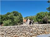 2
2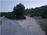 3
3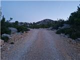 4
4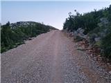 5
5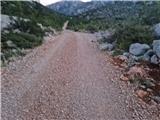 6
6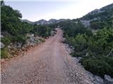 7
7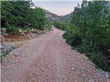 8
8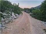 9
9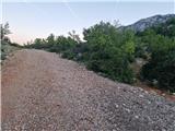 10
10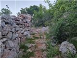 11
11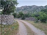 12
12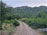 13
13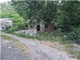 14
14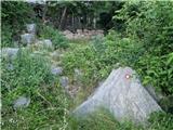 15
15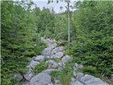 16
16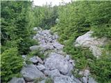 17
17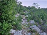 18
18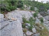 19
19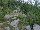 20
20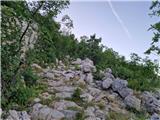 21
21 22
22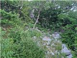 23
23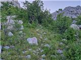 24
24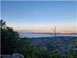 25
25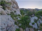 26
26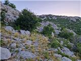 27
27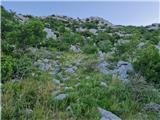 28
28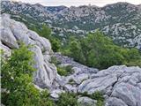 29
29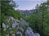 30
30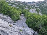 31
31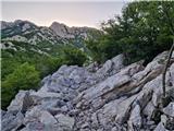 32
32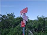 33
33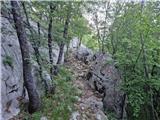 34
34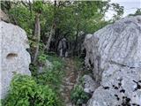 35
35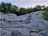 36
36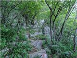 37
37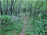 38
38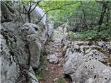 39
39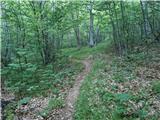 40
40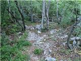 41
41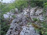 42
42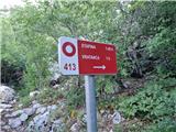 43
43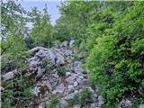 44
44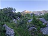 45
45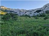 46
46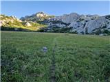 47
47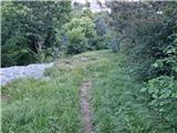 48
48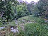 49
49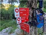 50
50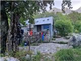 51
51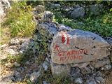 52
52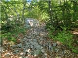 53
53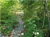 54
54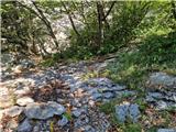 55
55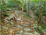 56
56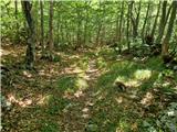 57
57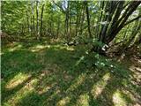 58
58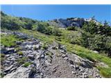 59
59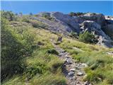 60
60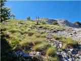 61
61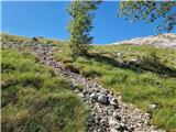 62
62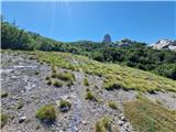 63
63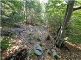 64
64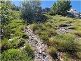 65
65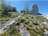 66
66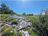 67
67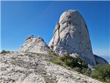 68
68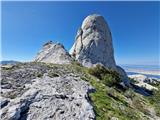 69
69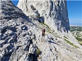 70
70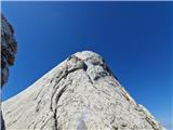 71
71
Discussion about the trip Ljubotić (Sv. Ante) - Stapina (čez Bristovac)
To post a comment you must log in:
If you do not yet have a username, you must first
register.