Lokev - Kokoš (via source of Vroček)
Starting point: Lokev (440 m)
| Latitude/Longitude: | 45,66070°N 13,93110°E |
| |
Route name: via source of Vroček
Walking time: 2 h
Difficulty: easy marked way
Elevation gain: 230 m
Elevation difference along the route: 230 m
Map: Slovenska Istra, Čičarija, Brkini, Kras
Recommended equipment (summer):
Recommended equipment (winter):
Views: 16.371
 | 2 people like this post |
Access to starting point:
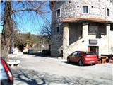
We set off from Tabor in Lokev.
Route description:
From Tabor we go towards the kindergarten behind the building and on village streets to the inn "Obersnel", where we cross the main road Divača - (former) border crossing Lipica. We continue to the first turnoff to the right and forward towards the village Prelože (signpost). Through the field and through the village we ascend to the last house and from here on a macadam forest road to the source of Vroček, where there is a crossroad of the paths.
If we go left, we will in 15 minutes reach the peak Veliko Gradišče, and we go right and on a worse forested cart track we come to a macadam road Krvavi Potok (Vrhpolje) - Kokoš, on which we continue right and to the mountain hut on Kokoš.
Along the route: Vroček (645m)
Photos:
 1
1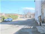 2
2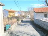 3
3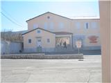 4
4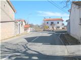 5
5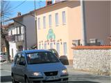 6
6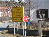 7
7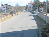 8
8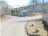 9
9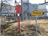 10
10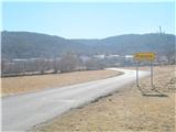 11
11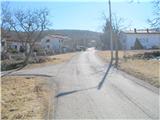 12
12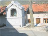 13
13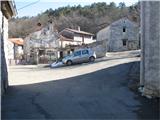 14
14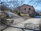 15
15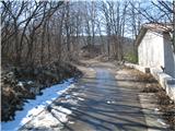 16
16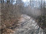 17
17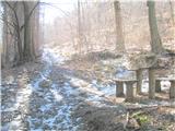 18
18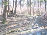 19
19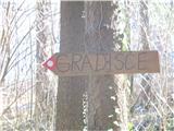 20
20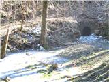 21
21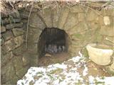 22
22 23
23 24
24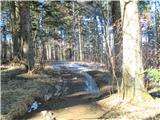 25
25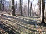 26
26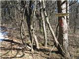 27
27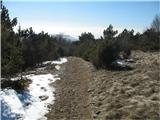 28
28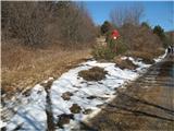 29
29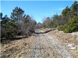 30
30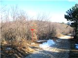 31
31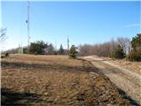 32
32 33
33
Discussion about the trip Lokev - Kokoš (via source of Vroček)
|
| anazala11. 02. 2022 14:50:45 |
Interesting trip. go past the Vroček spring. go past the Vroček spring. 2 hours of easy walking. 2 hours of easy walking. 
|
|
|
To post a comment you must log in:
If you do not yet have a username, you must first
register.