Lučka Bela (Za Loncem) - Deska (Veža) (direktna pot)
Starting point: Lučka Bela (Za Loncem) (1058 m)
| Latitude/Longitude: | 46,32888°N 14,65131°E |
| |
Route name: direktna pot
Walking time: 3 h 10 min
Difficulty: difficult marked way, easy unmarked way
Elevation gain: 912 m
Elevation difference along the route: 960 m
Map: Kamniške in Savinjske Alpe 1:50.000
Recommended equipment (summer):
Recommended equipment (winter): ice axe, crampons
Views: 5
 | 1 person like this post |
Access to starting point:
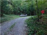
a) First we drive to Luče, then follow the signs for Podvolovljek and Kamnik. We continue driving on a somewhat narrower asphalt road. After about 6 km, the signs for Lučka Bela, Korošica and lake Vodotočnik direct us right onto a side asphalt road. We cross the Lučnica stream (on some maps this part of the stream is also called Brložnica), and when we reach the forest, the asphalt road turns sharply left towards the nearby homestead, while we continue straight onto a gravel road. On it we ascend another 5 km or to the right bend where there are red mountain direction signs for Vodotočnik, Korošica, Ojstrica and Planjava. At the starting point we can park in a small unregulated parking area.
b) We drive to Kamnik, then follow the signs for Kamniška Bistrica and Črnivec pass. In Stahovica at the traffic-light intersection we continue straight and follow the road towards Črnivec pass. About 700 m before the pass we turn sharply left onto a side road with signs for Luče, Podvolovljek and Velika planina. A short transverse ascent follows to Volovljek pass (Kranjski Rak), then we begin a steeper descent towards Podvolovljek. When we reach the valley we turn left towards Lučka Bela, Korošica and lake Vodotočnik onto a side asphalt road. We cross the Lučnica stream (on some maps this part of the stream is also called Brložnica), and when we reach the forest, the asphalt road turns sharply left towards the nearby homestead, while we continue straight onto a gravel road. On it we ascend another 5 km or to the right bend where there are red mountain direction signs for Vodotočnik, Korošica, Ojstrica and Planjava. At the starting point we can park in a small unregulated parking area.
c) From the direction of Gornji Grad we drive to Črnivec pass, then begin descending towards Kamnik. After about 700 m of descent we turn right in the direction of signs for Luče, Podvolovljek and Velika planina. A short transverse ascent follows to Volovljek pass (Kranjski Rak), then we begin a steeper descent towards Podvolovljek. When we reach the valley we turn left towards Lučka Bela, Korošica and lake Vodotočnik onto a side asphalt road. We cross the Lučnica stream (on some maps this part of the stream is also called Brložnica), and when we reach the forest, the asphalt road turns sharply left towards the nearby homestead, while we continue straight onto a gravel road. On it we ascend another 5 km or to the right bend where there are red mountain direction signs for Vodotočnik, Korošica, Ojstrica and Planjava. At the starting point we can park in a small unregulated parking area.
Route description:
From the starting point we turn left onto the marked footpath, which begins to ascend through the forest and quickly brings us close to the bed of Lučka Bela. We continue ascending on the right side of the bed, where the path is interrupted in several places due to numerous fallen trees. Later we cross the stream bed and gradually begin a steep ascent through the forest on a path that is in places poorly maintained. Higher up we cross another gully, after which the path ascends transversely across a somewhat exposed slope. Here, especially on the descent, greater caution is needed so as not to slip on the path considerably eroded by erosion.
The continuation levels out completely for a few steps, then ascends even more steeply and passes onto a steep and especially in wet conditions slippery slope. When the path turns right, a short exposed traverse follows, where due to the narrow path there is greater risk of slipping. After that we ascend steeply for a few more minutes, then the slope levels out somewhat. We gradually pass into a belt of dwarf pine, where the path is overgrown with grass that is wet after rain and in morning dew. We ascend through the dwarf pine for a few minutes, then reach the small saddle Vratca, where the path forks.
We continue straight down in the direction of Vodotočnik and Korošica (to the right leads a well-trodden hunting path towards the hunting hut on Brežičih, which runs along the slopes of Deska and Lastovec) and in a few minutes descend to the grassy plain Stare stale, where the intermittent lake is located.
On the right, eastern edge of Stare stale there is a marked junction, from where we continue slightly right in the direction of Vodotočnik (straight leads the usual path to Korošica). Here we first ascend transversely under interesting rock slabs, the path, which later has local markings in the form of green-red lines, then turns slightly right and ascends more steeply through a belt of dwarf pine. When we leave the dwarf pine we enter a grassy valley, along which we continue in a gentle ascent all the way to lake Vodotočnik.
At the lake the classic Knafelc markings appear again, and we continue on the right side of the lake (left leads the path to Korošica), after the lake we begin ascending again. A few minutes higher a second path from Korošica joins from the left, namely the one that does not descend to the lake. We keep slightly right and begin ascending towards the saddle between Tolsti vrh on the left and Deska on the right.
When we reach the saddle we leave the wider marked path, which begins to descend towards Planina Podvežak, and continue right on an unmarked pathlet that continues along the summit ridge of Deska and disappears in places. We bypass the northern pre-summit of Deska on the left, eastern side, then continue on gentle grassy terrain towards the main summit, where on a small elevation we notice a cairn, which we reach in a few minutes.
Starting point - Stare stale 2:00, Stare stale - Vodotočnik 0:40, Vodotočnik - saddle on the ridge of Deska 0:20, saddle on the ridge of Deska - Deska 0:10.
Description and photos (except the last two, which are older) refer to the situation in September 2026.

Photos:
 1
1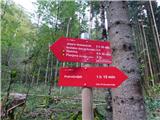 2
2 3
3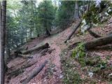 4
4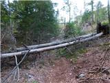 5
5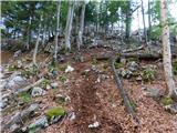 6
6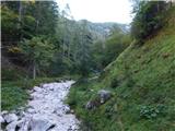 7
7 8
8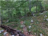 9
9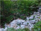 10
10 11
11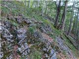 12
12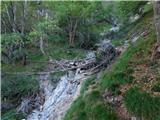 13
13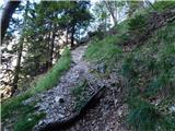 14
14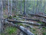 15
15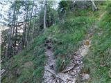 16
16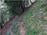 17
17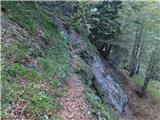 18
18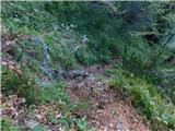 19
19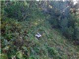 20
20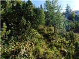 21
21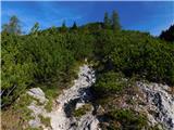 22
22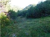 23
23 24
24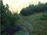 25
25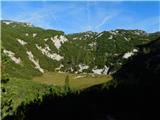 26
26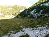 27
27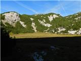 28
28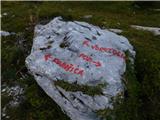 29
29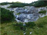 30
30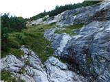 31
31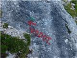 32
32 33
33 34
34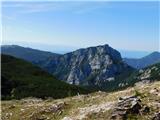 35
35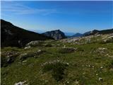 36
36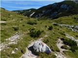 37
37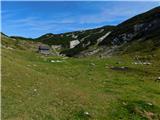 38
38 39
39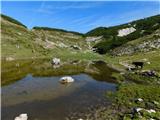 40
40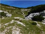 41
41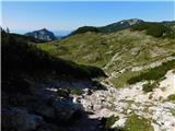 42
42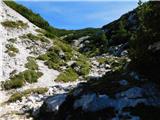 43
43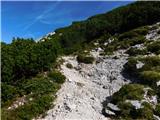 44
44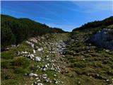 45
45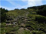 46
46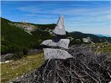 47
47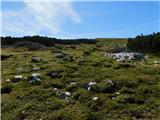 48
48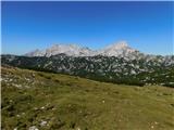 49
49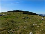 50
50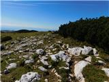 51
51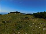 52
52 53
53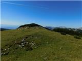 54
54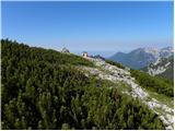 55
55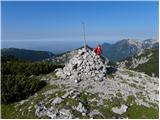 56
56
Discussion about the trip Lučka Bela (Za Loncem) - Deska (Veža) (direktna pot)
To post a comment you must log in:
If you do not yet have a username, you must first
register.