Mače - Cjanovca (Mačenska pot and via Dolga njiva)
Starting point: Mače (586 m)
| Latitude/Longitude: | 46,31310°N 14,41870°E |
| |
Route name: Mačenska pot and via Dolga njiva
Walking time: 3 h 35 min
Difficulty: easy marked way
Elevation gain: 1234 m
Elevation difference along the route: 1275 m
Map: Karavanke - osrednji del 1:50.000
Recommended equipment (summer):
Recommended equipment (winter): ice axe, crampons
Views: 3.288
 | 2 people like this post |
Access to starting point:
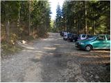
a) From the Ljubljana-Jesenice motorway take the Kranj-east exit, then continue driving towards Jezersko. When arriving in Preddvor leave the main road and continue left towards the centre of the mentioned place, from there follow the signs for Mače. When arriving in Mače, at the marked junction continue right (left Bašelj, straight church of sv. Miklavž (church not accessible by car)) and drive up the narrow road above the village, where there is a larger marked parking lot.
b) From the Jesenice-Ljubljana motorway take the Kranj-west exit and at the first junction continue left. Then drive through the underpass under the motorway, then arrive at the roundabout, from which continue driving towards Golnik. The road ahead leads through the settlement Mlaka pri Kranju; we at the end of the settlement continue right towards the settlement Srakovlje. We then drive through Srakovlje, Spodnja Bela, Srednja Bela to Zgornja Bela, where we continue right towards Preddvor. In Preddvor we notice signs for Mače, which direct us left past the primary school to the road that ascends to Mače. When arriving in Mače, at the marked junction continue right (left Bašelj, straight church of sv. Miklavž (church not accessible by car)) and drive up the narrow road above the village, where there is a larger marked parking lot.
Route description:
At the start of the large parking lot above Mače we notice alpine direction signs, we continue right across the entire parking lot in the direction of Zavetišče v Hudičevem borštu, Javorov or Javorjev vrh, Potoška gora and sv. Jakob. From the end of the parking lot a marked cart track continues, which we follow. The cart track, which has a few minor junctions in the lower part where we follow the blazes, first ascends gently to moderately, then somewhat steeper for a short time. After crossing the torrent the cart track gradually flattens and brings us to a marked junction, where alpine direction signs direct us left onto a well-trodden and nicely maintained mountain path. The marked path immediately enters fairly dense forest, through which it ascends for some time along the torrent gully, then turns somewhat more to the right and brings us in a few zigzags to a less noticeable junction, where the path to Dom na Kališču branches off to the left (the branch is marked with an inscription on the tree), we continue straight on the path that gradually brings us into sparser forest. Higher the increasingly sparse forest ends and the path brings us to panoramic grassy slopes, from which a nice view of Gorenjska opens up. Follows another good 10 minutes of ascent on the mentioned grassy slope and we arrive at the spring in Hudičev boršt, next to which there is a marked junction.
Here we continue left in the direction of Kališče and Srednji vrh (right Zavetišče v Hudičevem borštu, 3 minutes) on the path that crosses the grassy slopes of Zaplate to the west. After a few minutes of crossing the path enters the forest, where we soon reach the next marked junction.
This time we continue right in the direction of Cjanovca, Srednji vrh and Mali Grintovec on the path (straight Kališče and Mače), which begins to ascend more steeply through the forest. The fairly steep path higher up brings us into a small valley, where the forest thins out, the path flattens. After a few minutes of walking in the mentioned valley the path turns right, ascends more steeply and after a short ascent brings us to the shepherd hut on Planina Dolga njiva.
From the hut on Dolga njiva we continue straight in the direction of Cjanovca and Srednji vrh (left Mali Grintovec, right pathless route to Hudičev boršt) on the path that first ascends over the grassy slope then passes into a belt of dwarf pines, where it continues on a wide clearing. The path, which ascends transversely towards the east, then higher brings us to a less noticeable junction, where we continue right (left Srednji vrh). Follows a few minutes of moderate ascent through the dwarf pines and the increasingly panoramic path brings us to the summit of Cjanovca.
Mače - Hudičev boršt 1:50, Hudičev boršt - razpotje pod Dolgo njivo 0:10, razpotje pod Dolgo njivo - Planina Dolga njiva 0:55, Planina Dolga njiva - sedlo Cjanovca 0:35, sedlo Cjanovca - Cjanovca 0:05.

The trip can be extended to the following destinations: Srednji vrh
Photos:
 1
1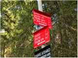 2
2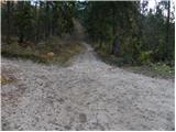 3
3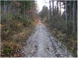 4
4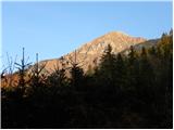 5
5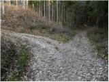 6
6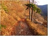 7
7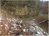 8
8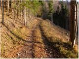 9
9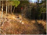 10
10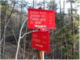 11
11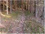 12
12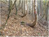 13
13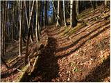 14
14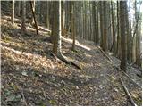 15
15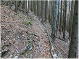 16
16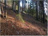 17
17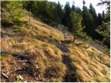 18
18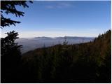 19
19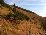 20
20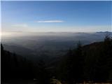 21
21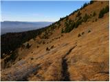 22
22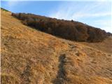 23
23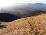 24
24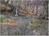 25
25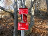 26
26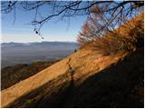 27
27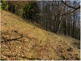 28
28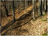 29
29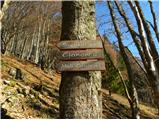 30
30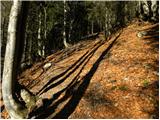 31
31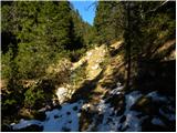 32
32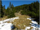 33
33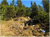 34
34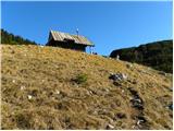 35
35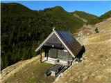 36
36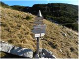 37
37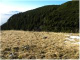 38
38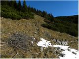 39
39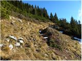 40
40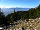 41
41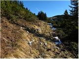 42
42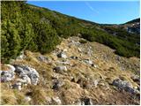 43
43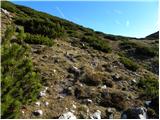 44
44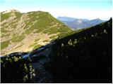 45
45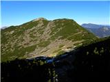 46
46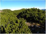 47
47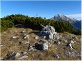 48
48 49
49
Discussion about the trip Mače - Cjanovca (Mačenska pot and via Dolga njiva)
To post a comment you must log in:
If you do not yet have a username, you must first
register.