Makole - Cerkev sv. Treh kraljev v Ješovcu
Starting point: Makole (255 m)
| Latitude/Longitude: | 46,31815°N 15,66701°E |
| |
Walking time: 1 h 30 min
Difficulty: easy marked way
Elevation gain: 65 m
Elevation difference along the route: 150 m
Map:
Recommended equipment (summer):
Recommended equipment (winter):
Views: 7
 | 1 person like this post |
Access to starting point:
a) Drive to Poljčane, then follow the signs to Majšperk and Makole. In the settlement of Stranske Makole or slightly beyond the settlement of Stranske Makole, turn right towards Makole, where in the center of the settlement, at the marked parking lot next to the cemetery, park.
b) Drive to Slovensko Bistrico, then head towards the road in the direction of Makole. Continue following the signs to Makole, and park at the marked parking lot next to the cemetery in the center of the settlement.
c) From Ptuj, follow the signs to Majšperk, and when arriving in Majšperk, follow the signs to Makole. When arriving in Makole, park at the marked parking lot next to the cemetery.
Route description:
From the parking lot, walk to the main road and continue left, where the path leads past the primary school, then we gradually start descending. Walk on the sidewalk to the bridge over the Dravinja, where the sidewalk ends at the bridge. On the other side of the bridge, go past a small park, and soon arrive at an intersection with a priority road, where we go right.
Here, carefully cross the main road and continue walking along the left edge of the main road to the first intersection, where we go left towards Dvorec Štatenberg. The path continues past a stone monument and begins to ascend on a somewhat narrower asphalt road, from which we get a nice view of Makole, our starting point, during the ascent. When we reach a smaller intersection further on, go right and quickly arrive at the Dvorec Štatenberg, visible from afar.
From the castle, return to the asphalt road and continue following the otherwise sparse markings. Soon we arrive at nearby ponds, where there is the hunting lodge of the Makole Hunting Association.
Bypass the ponds and the lodge on the left side and continue walking on the asphalt road, which takes us to the settlement of Štatenberg. The path continues with some shorter ascents and descents, and at intersections, faithfully follow the markings. The path, from which we occasionally get a nice view towards Boč, takes us past scattered houses to the information board below the church of sv. Treh Kraljev.
Here we leave the asphalt and quickly ascend to the church along the access road.
Makole - Dvorec Štatenberg 0:25, Dvorec Štatenberg - sv. Trije kralji 1:05.
The description refers to the condition in April 2026, the photos are from May 2022 and April 2026.

Photos:
 1
1 2
2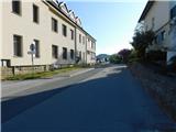 3
3 4
4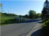 5
5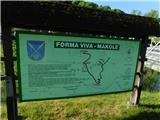 6
6 7
7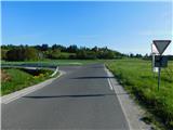 8
8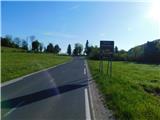 9
9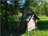 10
10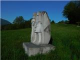 11
11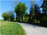 12
12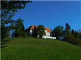 13
13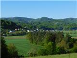 14
14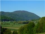 15
15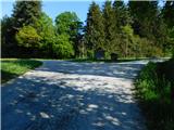 16
16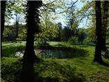 17
17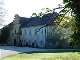 18
18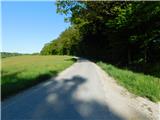 19
19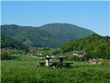 20
20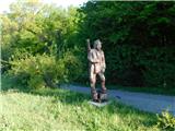 21
21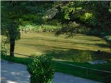 22
22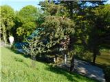 23
23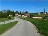 24
24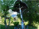 25
25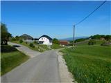 26
26 27
27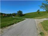 28
28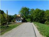 29
29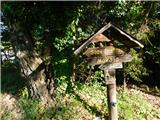 30
30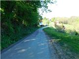 31
31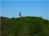 32
32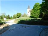 33
33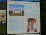 34
34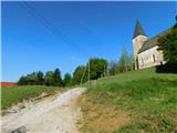 35
35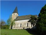 36
36
Discussion about the trip Makole - Cerkev sv. Treh kraljev v Ješovcu
To post a comment you must log in:
If you do not yet have a username, you must first
register.