Starting point: Mala Lazna (1100 m)
| Latitude/Longitude: | 45,98100°N 13,82620°E |
| |
Walking time: 1 h 25 min
Difficulty: easy marked way
Elevation gain: 395 m
Elevation difference along the route: 400 m
Map: Goriška 1:50.000
Recommended equipment (summer):
Recommended equipment (winter): crampons
Views: 45.248
 | 1 person like this post |
Access to starting point:
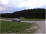
a) First we drive to Lokve (access from Nova Gorica via Trnovo or from Most na Soči via Čepovan), then continue towards Predmeja. When we reach a larger meadow where at the intersection we see numerous direction signs, we are at Mala Lazna, where we park in a suitable place.
b) From Ajdovščina we ascend via a winding road to Predmeja, where at the main intersection we turn left towards the location Lokve and Nova Gorica. The road initially leads past a few houses, then turns into dense forest and becomes a gravel road. We follow it straight through Trnovski gozd and after approximately 8.5 kilometres of driving we arrive at the large grassy area Mala Lazna, where at the intersection and mountain signs we park.
Route description:
From Mala Lazna we head onto the forest road in the direction of Velika ledena jama v Paradani. The road quickly turns into forest, where it continues with a few shorter ascents and descents. After approximately 15 minutes of walking it brings us to a junction, where a marked path branches off to the right towards Iztokova koča.
At this point we turn right downhill, as directed by the signs »Golaki, Iztokova koča 30 min«, while the left road continues towards Velika ledena jama v Paradani.
We continue walking along the track through the forest, mostly ascending gently. Later the track becomes somewhat narrower, then brings us again to a gravel road near the junction of several paths. At this junction the signs direct us onto a footpath through the forest, which brings us to the hut in five minutes.
From the hut we continue slightly to the right in the direction of Golaki along a path that returns to dense forest. The ascent is initially briefly gentle, then becomes increasingly steeper and runs mostly along the western to south-western slopes of Mali Golak. After approximately half an hour of walking from Iztokova koča the path levels out and brings us to a forested ridge, from which a fine view opens despite the trees. We continue along the ridge, where in less than 10 minutes of further walking we reach the summit of Mali Golak.

The trip can be extended to the following destinations: Srednji Golak
Photos:
 1
1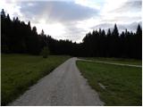 2
2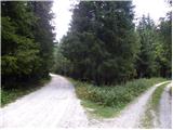 3
3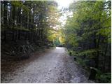 4
4 5
5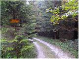 6
6 7
7 8
8 9
9 10
10 11
11 12
12 13
13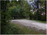 14
14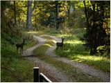 15
15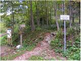 16
16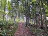 17
17 18
18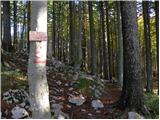 19
19 20
20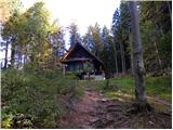 21
21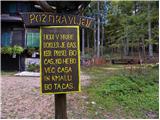 22
22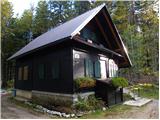 23
23 24
24 25
25 26
26 27
27 28
28 29
29 30
30 31
31 32
32 33
33 34
34 35
35 36
36 37
37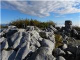 38
38
Discussion about the trip Mala Lazna - Mali Golak
|
| bpi904. 07. 2018 |
stamp is a bit poor, could be arranged differently... but nice morning hike 
|
|
|
|
| di18. 06. 2025 08:24:11 |
On the way, a short detour was made to conquer also the less visited Nemški hrib by hikers.
|
|
|
To post a comment you must log in:
If you do not yet have a username, you must first
register.