Starting point: Malovše (188 m)
| Latitude/Longitude: | 45,90460°N 13,78970°E |
| |
Walking time: 3 h 35 min
Difficulty: easy marked way
Elevation gain: 1049 m
Elevation difference along the route: 1080 m
Map: Goriška 1:50.000
Recommended equipment (summer):
Recommended equipment (winter): ice axe, crampons
Views: 3.569
 | 1 person like this post |
Access to starting point:
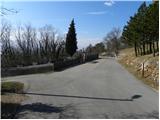
A) From the expressway Razdrto - Nova Gorica, take the exit Selo, then continue driving towards Nova Gorica, but drive on the main road only about 20 m, then turn right onto the local road, along which we soon arrive at the next junction. Here we continue straight (left to Črniče, right to Gojače) and drive into the village Malovše on the slightly ascending road. Park above the village, best near the cemetery.
B) From the expressway or motorway Nova Gorica - Razdrto, take the exit Selo, then continue driving towards Nova Gorica. Further, drive through the underpass under the motorway to the nearby entrance onto the motorway. From here continue on the main road only about 20 m, then turn right onto the local road, along which we soon arrive at the next junction. Here we continue straight (left to Črniče, right to Gojače) and drive into the village Malovše on the slightly ascending road. Park above the village, best near the cemetery.
Route description:
From the cemetery we go onto the right road in the direction of sv. Pavel (left Črniče) and walk along it for approximately 50 m. After 50 m the asphalt road turns slightly to the right, and right at that spot we leave it and continue straight onto the macadam road. We walk on the macadam road for a very short time, then signs for sv. Pavel and Kucelj direct us slightly more to the left onto a partly rocky cart track. A gentle ascent follows through the forest, then we join the path from the village Gojače.
We continue straight along an easy-to-follow but unmarked cart track, which continues through increasingly sparse forest, to the next marked junction. This time we continue on the left cart track (right sv. Pavel and Vrtovin), beside which there are signs for Kucelj and sv. Pavel. Only a few dozen meters higher we join a wider cart track and follow it to the right (left Črniče). Further, we ascend along the mentioned cart track for approximately 10 minutes, then arrive at the next junction, where signs for Kucelj direct us right onto a somewhat narrower cart track, to which soon from the right joins a path by which we would arrive if somewhat lower we continued in the direction of sv. Pavel and Vrtovina. Further we cross to the right for some time, then the path brings us to a larger trough. From here we continue for a short time through a belt of bushes, then the path brings us to the spot where we continue left in the direction of Kucelj (right Školj sv. Pavla).
The path ahead leads through a belt of bushes, then quickly brings us into the forest, where we arrive at the next marked junction. Again we continue in the direction of Kucelj and continue the ascent along the path which higher crosses the macadam road. The path ahead moderately ascends and soon again crosses the road. At this road crossing a nice view opens towards Veliki rob, the path immediately returns into the forest, through which we moderately ascend for a few minutes. Higher the path turns right and for a short time descends to the nearby junction, where we join the path from Vrtovina.
The path ahead starts steeply ascending through the forest, through which we then ascend for quite some time. Higher we cross Srednječavenska pot, above which the forest slowly starts to thin. A little higher the path comes very close to the old road connection between Vipava valley and the Trnovski gozd plateau.
Right at the spot where we come very close to the mentioned road or cart track, we leave the mountain path which leads to Kucelj and continue the ascent along the road, along which we start ascending diagonally to the left. After more than 10 minutes of walking, the road flattens and brings us to the edge of the plateau, where from the right joins the path which leads from Koča na Čavnu over Kucelj to Veliki rob.
From here we continue a few dozen more meters along the poor road, then signs for Veliki rob direct us left onto a footpath which gradually starts ascending along the southern slopes of Trnovski gozd. The occasionally quite panoramic path higher withdraws a little to the right from the ridge and for a short time passes into dense forest, where from the right the path from Krnica joins. After a short descent, the path again starts ascending and brings us out of the forest into a belt of dwarf pines, where it continues on and beside an occasionally quite steep ridge. We follow this path, from which beautiful views open up, all the way to Veliki rob.

Photos:
 1
1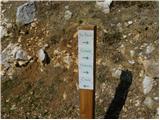 2
2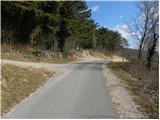 3
3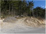 4
4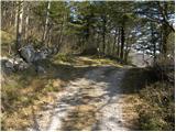 5
5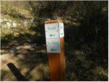 6
6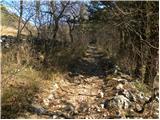 7
7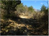 8
8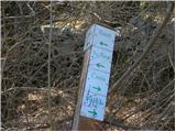 9
9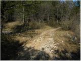 10
10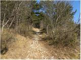 11
11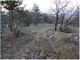 12
12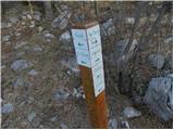 13
13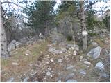 14
14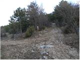 15
15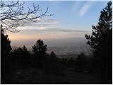 16
16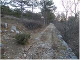 17
17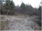 18
18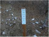 19
19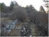 20
20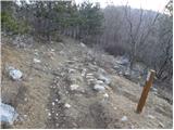 21
21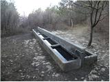 22
22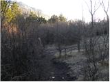 23
23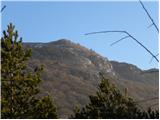 24
24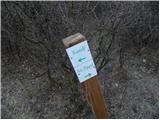 25
25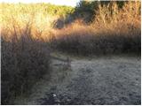 26
26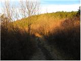 27
27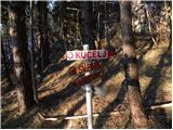 28
28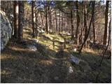 29
29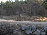 30
30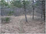 31
31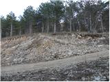 32
32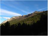 33
33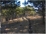 34
34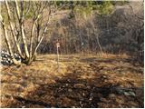 35
35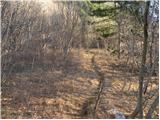 36
36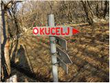 37
37 38
38 39
39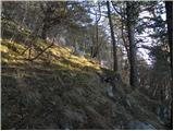 40
40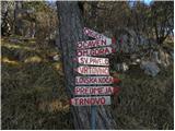 41
41 42
42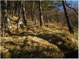 43
43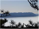 44
44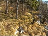 45
45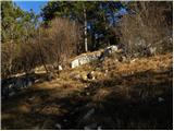 46
46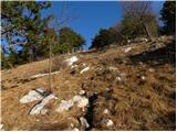 47
47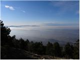 48
48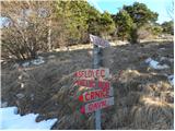 49
49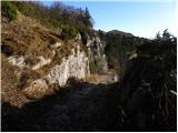 50
50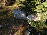 51
51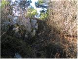 52
52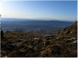 53
53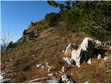 54
54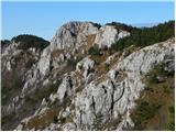 55
55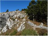 56
56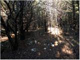 57
57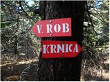 58
58 59
59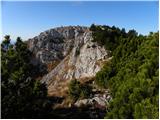 60
60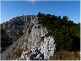 61
61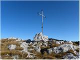 62
62 63
63
Discussion about the trip Malovše - Veliki Rob
To post a comment you must log in:
If you do not yet have a username, you must first
register.