Matizovec - Planina Spodnja Dolga njiva
Starting point: Matizovec (915 m)
| Latitude/Longitude: | 46,41450°N 14,30000°E |
| |
Walking time: 4 h 50 min
Difficulty: easy marked way
Elevation gain: 485 m
Elevation difference along the route: 925 m
Map: Karavanke - osrednji del 1:50.000
Recommended equipment (summer):
Recommended equipment (winter): ice axe, crampons
Views: 8.493
 | 1 person like this post |
Access to starting point:
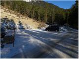
From the highway Ljubljana - Jesenice, we take the exit Ljubelj and follow the road ahead towards the border crossing. We leave the main road at the spot where signs for »camp and Podljubelj« point us to the right. When we leave the main road, we will already after a few meters come to a crossroad, where we continue left in the direction of »Kofce«. Further, we drive through the village on a slightly ascending road and then we turn right in the direction of »Matizovec and Kofce«. We follow this occasionally somewhat narrower road, which is asphalted in the lower part, to a larger marked parking lot, about 150 meters of elevation below the farm Matizovec.
Route description:
From the large free parking lot we continue on a macadam road, on which in approximately 20 minutes we get to the farm Matizovec.
From Matizovec we continue on a rough road in the direction of Dom na Kofcah, and on some successive crossings, we carefully follow the blazes. After a few minutes of walking on a rough road or cart track, the blazes direct us to a steep footpath which first ascends diagonally to the left and then transitions to a forested ridge, where it turns a little to the right. Further, we ascend on a steep mountain path, which higher crosses a cart track and behind it gradually flattens. Only a little further, the forest thins out, and the marked path turns right into the forest and a little higher joins the cart track which ascends diagonally to the right. The cart track higher turns to the left, and from the right also joins the marked path from Kal.
From the junction ahead the forest ends, and the increasingly scenic path in 5 minutes of additional walking brings us to the Dom na Kofcah mountain hut.
From Dom na Kofcah we continue right in the direction of the mountain pasture Šija. The path first in a gentle descent crosses the slopes towards the east, and then joins a wide cart track, which brings us out of the forest onto the mountain pasture Ilovica. The path then starts to ascend gently and after a few additional minutes of easy walking brings us to the shelter on the mountain pasture Šija.
From the shelter on the mountain pasture Šija we continue on the macadam road, which already after a few meters brings us to a marked junction, where slightly to the left branches off an unmarked path which leads to Kladivo and the old border guard path which crosses the southern slopes of Košuta. We continue on the road, which a little further turns somewhat to the right, then brings us to a side ridge where it turns left (here a nice view opens up towards the south for a while). From the longer left bend onwards the road starts to descend more steeply, and we continue along it to the start of the mountain pasture Pungrat. Here we leave the road and walk across a gently sloping, hummocky meadow in a few minutes to the shepherd's hut on the mountain pasture Pungrat.
From the hut we continue on the marked path in the direction of Dolga njiva (left Škrbina and Veliko Kladivo) and first continue the ascent on a gentle cart track, which ends a little higher. We continue the path on a poorly visible little path, which first continues over hummocky meadows. Higher, from the left, the aforementioned border guard path joins almost imperceptibly, and we continue straight to the nearby grazing fence. We cross the mentioned fence and step from the mountain pasture Pungrat onto the pastures of Tegoška planina. Continuing along the upper edge, we cross the grazing areas of the upper part of Tegoška planina, then the path turns somewhat to the right and leads us past a water trough into a dense forest. A short crossing through the forest follows, then we ascend to the scenic ridge of Kisovec. From there we descend a few steps to a small saddle, where we cross a grazing fence. The path then takes us to a cart track, along which we descend diagonally across a large clearing. On the other side of the clearing the path returns to the forest, through which it begins to descend. After a short descent, an unmarked path (marked with arrows) joins from the right from the shepherd's hut on Tegoška planina, and we continue left, still crossing the slopes of Košuta towards the east to the northeast. This is followed by crossing occasionally steeper and partly also grassy slopes, and we follow the path, from which we occasionally get views of the surrounding peaks, to a marked junction where the marked path to Košutnikov turn branches off to the left. At the mentioned junction we continue straight on the lower right path, along which we descend in a few minutes to the nearby forest road. When we step onto the road we follow it to the left, and along it in a few steps we arrive at the mountain dairy on the mountain pasture Spodnja Dolga njiva.

Photos:
 1
1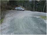 2
2 3
3 4
4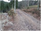 5
5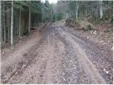 6
6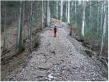 7
7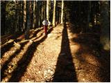 8
8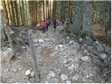 9
9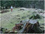 10
10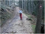 11
11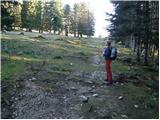 12
12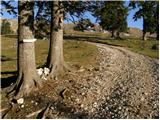 13
13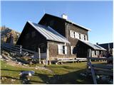 14
14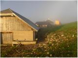 15
15 16
16 17
17 18
18 19
19 20
20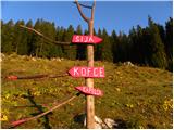 21
21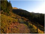 22
22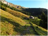 23
23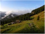 24
24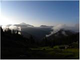 25
25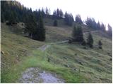 26
26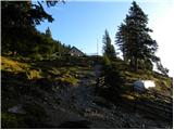 27
27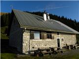 28
28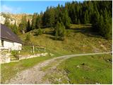 29
29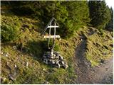 30
30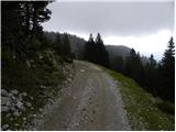 31
31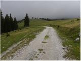 32
32 33
33 34
34 35
35 36
36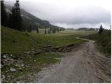 37
37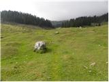 38
38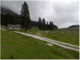 39
39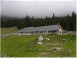 40
40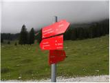 41
41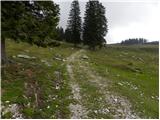 42
42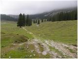 43
43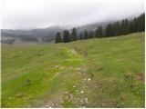 44
44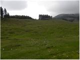 45
45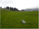 46
46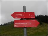 47
47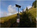 48
48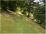 49
49 50
50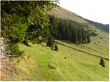 51
51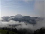 52
52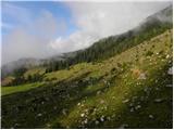 53
53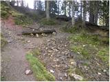 54
54 55
55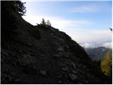 56
56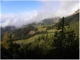 57
57 58
58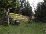 59
59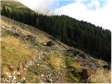 60
60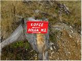 61
61 62
62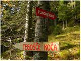 63
63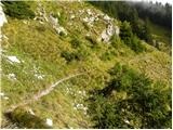 64
64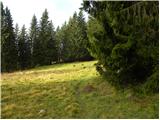 65
65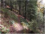 66
66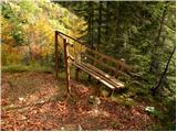 67
67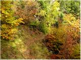 68
68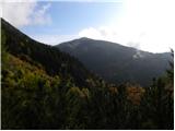 69
69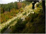 70
70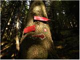 71
71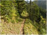 72
72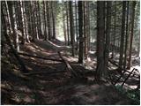 73
73 74
74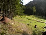 75
75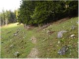 76
76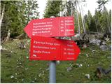 77
77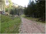 78
78 79
79
Discussion about the trip Matizovec - Planina Spodnja Dolga njiva
To post a comment you must log in:
If you do not yet have a username, you must first
register.