Mönchegg - Sabathy-Hütte im Zirbenland
Starting point: Mönchegg (1230 m)
| Latitude/Longitude: | 47,09687°N 14,62819°E |
| |
Walking time: 1 h 15 min
Difficulty: easy marked way
Elevation gain: 390 m
Elevation difference along the route: 400 m
Map: WK 212 (Seetaler & Seckauer Alpen 1:50.000)
Recommended equipment (summer):
Recommended equipment (winter): ice axe, crampons
Views: 119
 | 1 person like this post |
Access to starting point:
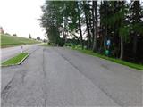
Leave the Austrian southern motorway A2 (Klagenfurt am Wörthersee–Graz) at the exit Bad St. Leonhard im Lavanttal, then follow the signs for Zeltweg and Reichenfels. When reaching Austrian Styria, follow the main road to the village Obdach, where we turn left towards the centre of the village (if we miss the first exit, there is another entrance to the village immediately after the tunnel). Through Obdach follow the signs for the mountain hut Sabathy-Hütte im Zirbenland and the village St. Wolfgang. When at an altitude of approximately 1220 metres we reach the right bend where a chapel and a junction stand, we continue right (left leads to the mountain path and road towards Sabathy-Hütte im Zirbenland) and after the next 100 metres of driving we park at the arranged parking lot.
Route description:
From the parking lot we return approximately 100 metres to the chapel, then head onto the footpath marked Sabathy-Hütte im Zirbenland and Zirbitzkogel. From here we first descend transversely along a wide path, cross the stream Granitzenbach, then just before the mill turn slightly right onto an ascending cart track. We follow this to a small hamlet, where due to construction the path is shifted somewhat more to the right, but a little further on it joins the access road through the hamlet. Above the hamlet we turn right off the road into a spruce forest, where we begin to ascend moderately along a grassy cart track. From this cart track we go left at a poorly marked junction; the junction is marked, but young spruces obstruct the view of the directional signs. This is followed by some moderate ascent through the forest, but when we reach the edge of the forest the path forks. Slightly to the left branches the path to Zirbitzkogel, which leads past the hut Rothaidenhütte, but we continue right. We continue walking through the forest in the direction of Zirbitzkogel past the hut Sabathy-Hütte and the lake Lindersee. A little further on we cross the asphalt road leading towards Sabathy-Hütte, and continue the ascent for a few more minutes through the forest, then reach the area of the ski resort Rieseralm. In the continuation we ascend along the ski slope (warning: during the operation of the ski resort walking on the slope is prohibited). The ascent proceeds along a cart track, which at several junctions we follow in the direction of the markings. Higher up we reach the area of holiday cottages, from where we follow the markings to the parking lot in front of the hut Sabathy-Hütte, and from there we only walk to the mountain hut.

Photos:
 1
1 2
2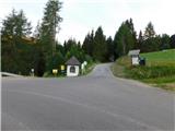 3
3 4
4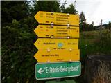 5
5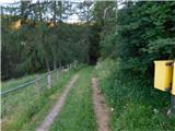 6
6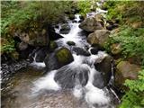 7
7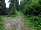 8
8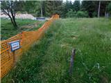 9
9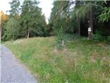 10
10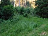 11
11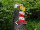 12
12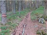 13
13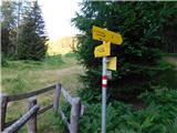 14
14 15
15 16
16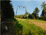 17
17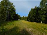 18
18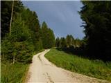 19
19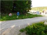 20
20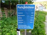 21
21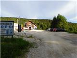 22
22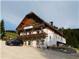 23
23
Discussion about the trip Mönchegg - Sabathy-Hütte im Zirbenland
To post a comment you must log in:
If you do not yet have a username, you must first
register.