Muta (Spodnja Muta) - Bricnik
Starting point: Muta (Spodnja Muta) (330 m)
| Latitude/Longitude: | 46,61280°N 15,16700°E |
| |
Walking time: 1 h 50 min
Difficulty: easy marked way
Elevation gain: 687 m
Elevation difference along the route: 687 m
Map: Pohorje - izletniška karta 1:50.000
Recommended equipment (summer):
Recommended equipment (winter): ice axe, crampons
Views: 2.790
 | 1 person like this post |
Access to starting point:
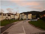
A) First, we drive to Dravograd, and then we continue driving in the direction towards Maribor. After crossing Mučka Bistrica, we turn left into the settlement Muta, where we then park at an appropriate place in the middle of the settlement Spodnja Muta. Some parking lots are intended only for residents.
B) We drive to Maribor, and then we follow the signs for Dravograd. A little after the settlement Zgornja Vižinga, we turn right in the direction of the settlement Muta, where we then park in the center of Spodnja Muta on an appropriate parking lot. Some parking lots are intended only for residents.
Route description:
We start the path at Cesta na Primož, along which we easily ascend towards the northeast. After a few minutes we arrive at a junction, where the mountain sign for Bricnik directs us left, and we quickly arrive at the beginning of the settlement Sv. Primož nad Muto. At the next junction the blazes direct us left, then we ascend transversely across the panoramic grassy slope. When a little higher the road turns right, it loses the asphalt covering and transitionally enters the forest, where it makes a right hairpin turn. Soon we return from the forest, where the path leads past the Sušek homestead, somewhat above the homestead from the junction we continue straight or slightly right. Along the macadam road we bypass the turn-off to the tourist farm Breznik, at the next junction at the sign for the Janež farm we leave the road and continue on the marked path, which steeply ascends through the forest for some time, and when it flattens it joins the macadam road. We continue along the panoramic road, from which a nice view opens towards Pohorje, Uršlja gora, Peca, and in the distance Kamniško-Savinjske Alpe are also visible. The buildings on the Pentat farm we bypass on the left side, then we reach an asphalt road, which we only cross and continue towards Bricnik (signpost for Zavetišče Onuk - Glavar shows right, but it is also better for this destination to continue towards Bricnik). An ascent through the forest follows; when we reach the Žaucer homestead we bypass it on the right side. A few minutes of transverse ascent to the right and a left hairpin turn follow, after which we again reach an asphalt road and a marked junction.
From the junction we continue straight towards Bricnik (left church of sv. Primož, right Zavetišče Glavar) and ascend to the forest. Through the forest we ascend transversely to the right, first walking on a cart track, which we soon leave as the blazes direct us right of the cart track. Even along the mountain path we ascend in the same direction, higher up the path leading past Zavetišče Glavar also joins us. A few more minutes of ascent follow, where at junctions we follow the blazes, then the path flattens and brings us to the top of Bricnik.
Description and pictures refer to the condition in 2018 (October).

Photos:
 1
1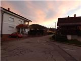 2
2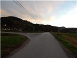 3
3 4
4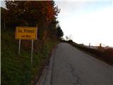 5
5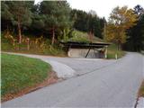 6
6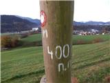 7
7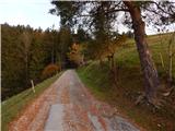 8
8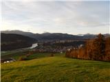 9
9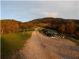 10
10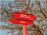 11
11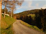 12
12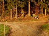 13
13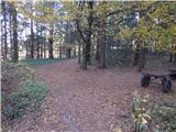 14
14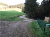 15
15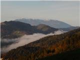 16
16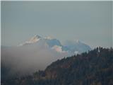 17
17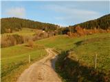 18
18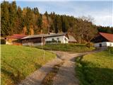 19
19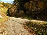 20
20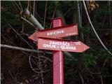 21
21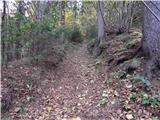 22
22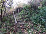 23
23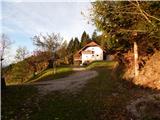 24
24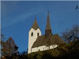 25
25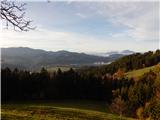 26
26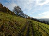 27
27 28
28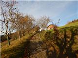 29
29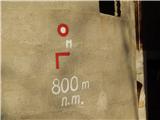 30
30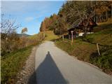 31
31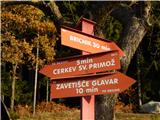 32
32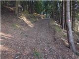 33
33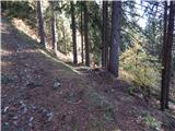 34
34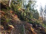 35
35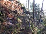 36
36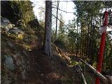 37
37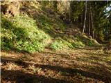 38
38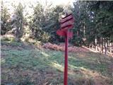 39
39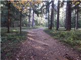 40
40 41
41
Discussion about the trip Muta (Spodnja Muta) - Bricnik
To post a comment you must log in:
If you do not yet have a username, you must first
register.