Na Sušeh - Ajdna (easier way)
Starting point: Na Sušeh (1085 m)
| Latitude/Longitude: | 46,42470°N 14,13430°E |
| |
Route name: easier way
Walking time: 20 min
Difficulty: easy marked way
Elevation gain: -39 m
Elevation difference along the route: 50 m
Map: Karavanke - osrednji del 1:50.000
Recommended equipment (summer):
Recommended equipment (winter): ice axe, crampons
Views: 12.578
 | 3 people like this post |
Access to starting point:
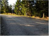
From the Ljubljana - Jesenice highway, we take the Vrba exit and follow the road ahead in the direction of Jesenice. Soon a road to the village Žirovnica branches off to the right. We turn onto this road and follow it through the village, after which it steeply ascends for a short time and then brings us to the crossroads where the asphalt ends. We continue left in the direction of Valvasorjev dom and Potoška planina (straight Završnica). The relatively well maintained road then brings us to a crossroads, where we continue left in the direction of Potoška planina and Valvasorjev dom. At the next crossroads, we continue left on the lower road in the direction of Potoška planina (right upward Valvasorjev dom). After some time we come to the next crossroads, where Ajdna is left downwards (marked), Potoška planina straight. Here we park on the parking lot by the road.
Route description:
From the parking lot, we take the left lower path towards Ajdna. After a short descent along the road, the signpost leads us left downwards onto a cart track. We follow the descending cart track to the saddle between Ajdna on the right and the unnamed peak on the left. Here we are at a junction, where we go right slightly downwards (straight upwards climbing path). Our right path then crosses the slopes of Ajdna to the spot where the path from the village Potoki joins. Here we go left upwards on the steep path, which is dangerous for slipping when muddy and icy. After a few minutes of ascent, the path brings us to the vantage point, where we go left along the small ridge. This path brings us in a few steps to the archaeological settlements. In this part, the path goes left through the old settlements and brings us to the ridge where the climbing path joins. From here to the top, we have only a few meters of easy walking.
Photos:
 1
1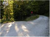 2
2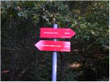 3
3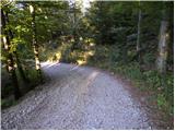 4
4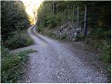 5
5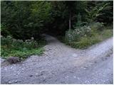 6
6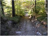 7
7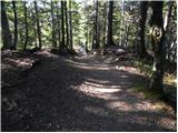 8
8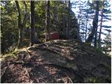 9
9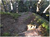 10
10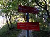 11
11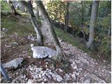 12
12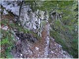 13
13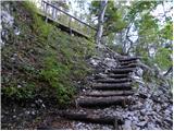 14
14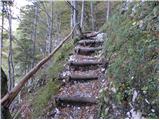 15
15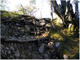 16
16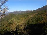 17
17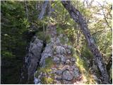 18
18 19
19 20
20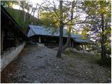 21
21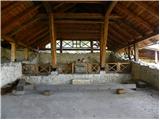 22
22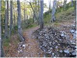 23
23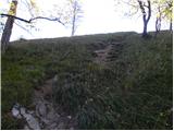 24
24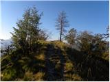 25
25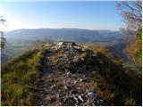 26
26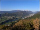 27
27
Discussion about the trip Na Sušeh - Ajdna (easier way)
|
| birch19. 05. 2009 |
Already been there, but a few days ago when I didn't know about HRIBI.NET yet, so I got lost (didn't look around enough) and first reached Potoška planina. Wonderful view
|
|
|
|
| heinz24. 05. 2009 |
Currently, a general danger warning applies for hiking to Ajdna due to the destroyed path. The Municipality of Žirovnica has put up special warning signs that also advise against ascent. They promise to fix the issue soon.
|
|
|
|
| andrejjerina26. 07. 2010 |
The path is normally passable, full praise for the nicely maintained path. LP Andrej
|
|
|
|
| HENRIK BRODNJAK1. 09. 2017 |
Based on the description, we'll have to go sooner, of course with nice weather.
|
|
|
To post a comment you must log in:
If you do not yet have a username, you must first
register.