Napoleonov most - Monte Mia / Mija
Starting point: Napoleonov most (320 m)
| Latitude/Longitude: | 46,22986°N 13,44078°E |
| |
Walking time: 2 h 25 min
Difficulty: easy unmarked way, partly demanding marked way
Elevation gain: 917 m
Elevation difference along the route: 940 m
Map: Julijske Alpe - zahodni del 1:50.000
Recommended equipment (summer):
Recommended equipment (winter): ice axe, crampons
Views: 306
 | 2 people like this post |
Access to starting point:
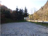
First, we drive to the center of Kobarid, then continue driving towards the settlement Robič. At the roundabout near the settlement Staro selo we continue right in the direction of Breginj. At the end of the settlement Borjana we turn left downwards in the direction of Podbela. We drive through the village Podbela towards the Nadiža river, which we later also cross. We then follow the road to a larger marked parking lot near the Napoleon Bridge. The parking lot is located approximately 100 meters before the Napoleon Bridge on the left side of the road. In the summer season the parking lot is payable.
Route description:
From the parking lot, we continue along the main road and soon notice the Napoleon Bridge on the right side. From the Napoleon Bridge we continue along the road for a few dozen metres, then notice yellow signposts on the left side of the road. Here we leave the main road and head onto a footpath in the direction of Pradolina and the village of Štupca.
First we cross a small stream, then begin ascending through the forest. The path we are ascending is not marked with standard trail blazes; only in a few places can we spot some brown markings on the trees. The path ascends quite steeply and then crosses a macadam road. The path is somewhat less trodden and continues ascending through the forest, bringing us to the next marked junction.
A still less-beaten path branches off to the right towards Robidišče, while we continue straight ahead on the trail. We continue walking along the trail through the forest, beside which there are quite a few fallen trees. The path then brings us to another signpost, where we continue to the right in the direction of the village of Štupca. We continue along a gentler path that crosses the national border and brings us to the saddle Nad Pradolom, where there is a junction.
Straight ahead the path leads through the Pradol gorge towards the village of Štupca, while we continue left towards the summit of Mija (Monte Mia). From the saddle the path climbs an occasionally quite steep slope, so some caution is required during the ascent. Higher up, the path turns left and the steepness eases a little. The path then leads us mostly through beech forest and runs in an easterly direction. Due to leaves on the path, the trail can be less visible, so we need to pay closer attention to the markings. Higher up we will also notice yellow-red markings along the path, but we continue to follow the white-red markings. Later the path brings us to signposts where we join a cart track. We continue right along the cart track and near Planina Mija we reach another junction. We take the right cart track, which quickly brings us to the mountain pasture.
From the mountain pasture we continue left past the shelter in the direction of Mija (Monte Mia) and follow the footpath through the forest. The path then joins a cart track and brings us to a crossroads. The cart track to the right leads towards a hunting observatory, while left descends into the valley on the Slovenian side.
At the crossroads we do not continue on the cart track but head straight ahead onto the footpath that runs between the two cart tracks. We then walk in an easterly direction and the path keeps us close to the national border the whole time. On this section beautiful views also open up, especially towards the ridge of Stol. The path then leads us back through the forest and higher up the terrain becomes somewhat rockier; along the path we will also notice the occasional sinkhole. The path on this section is a little less well-trodden, but there are enough blazes that orientation presents no major problems. Later, near Škrbina, a barely visible footpath joins from the left from the Slovenian side. Here the path turns right and, to the right of a deep gully, climbs towards the summit. The path still runs through the forest, but occasionally through the trees we get views towards the east where Krn is clearly visible. This trail then brings us to a vantage point near the summit of Mija. The actual summit lies a few dozen metres further on in the forest and is marked by a large cairn.

Photos:
 1
1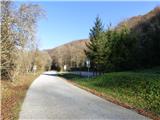 2
2 3
3 4
4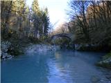 5
5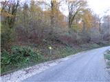 6
6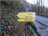 7
7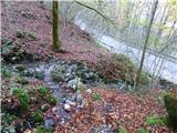 8
8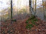 9
9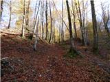 10
10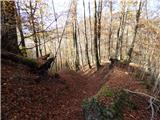 11
11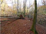 12
12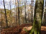 13
13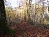 14
14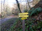 15
15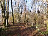 16
16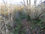 17
17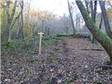 18
18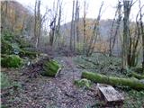 19
19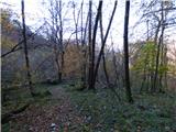 20
20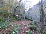 21
21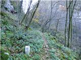 22
22 23
23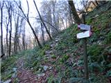 24
24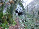 25
25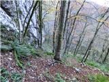 26
26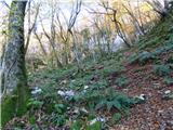 27
27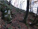 28
28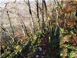 29
29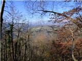 30
30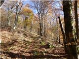 31
31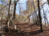 32
32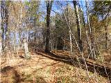 33
33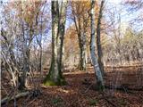 34
34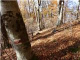 35
35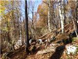 36
36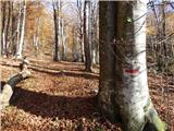 37
37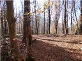 38
38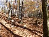 39
39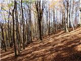 40
40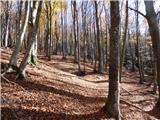 41
41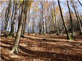 42
42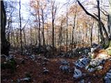 43
43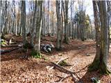 44
44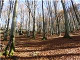 45
45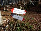 46
46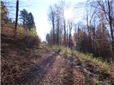 47
47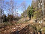 48
48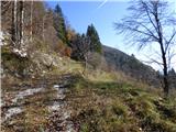 49
49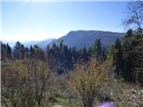 50
50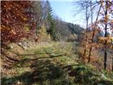 51
51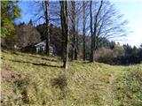 52
52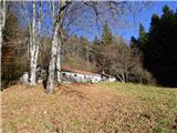 53
53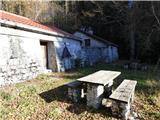 54
54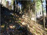 55
55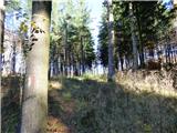 56
56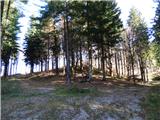 57
57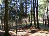 58
58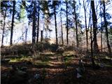 59
59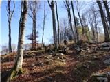 60
60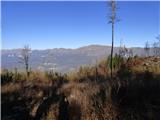 61
61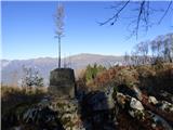 62
62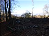 63
63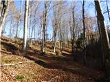 64
64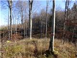 65
65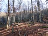 66
66 67
67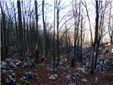 68
68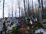 69
69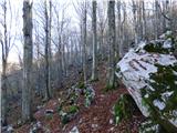 70
70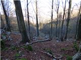 71
71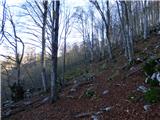 72
72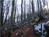 73
73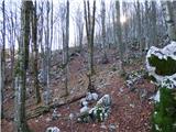 74
74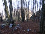 75
75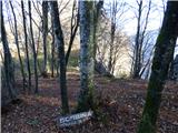 76
76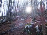 77
77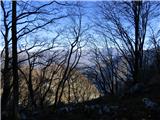 78
78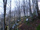 79
79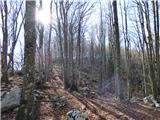 80
80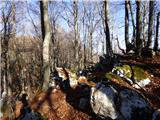 81
81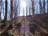 82
82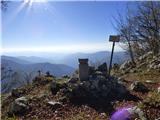 83
83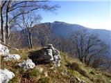 84
84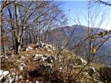 85
85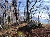 86
86
Discussion about the trip Napoleonov most - Monte Mia / Mija
To post a comment you must log in:
If you do not yet have a username, you must first
register.