Nevejski preval - Visoki Kanin (Via ferrata Rosalba Grasselli)
Starting point: Nevejski preval (1170 m)
| Latitude/Longitude: | 46,38740°N 13,47340°E |
| |
Route name: Via ferrata Rosalba Grasselli
Walking time: 6 h 15 min
Difficulty: very difficult marked way
Via ferrata: B/C
Elevation gain: 1417 m
Elevation difference along the route: 1650 m
Map: Julijske Alpe - zahodni del 1:50.000
Recommended equipment (summer): helmet, self belay set
Recommended equipment (winter): helmet, self belay set, ice axe, crampons
Views: 25.622
 | 3 people like this post |
Access to starting point:
From Kranjska Gora, via the border crossing at Rateče, we drive to Trbiž / Tarvisio. In Trbiž, we continue left in the direction of Bovec and follow the road to the junction near Rabeljsko jezero. Here, we continue right in the direction of Nevejski preval / Sella Nevea. We follow this road, which is mostly ascending, to the large parking lot at the lower station of the cableway that leads to the hut Gilberti.
From Bovec, we drive to the border crossing Predel, from which we descend to the Italian side. Just a little after Rabeljsko jezero, we reach the junction, where we continue left in the direction of Nevejski preval / Sella Nevea. Further, follow the above description.
Route description:
At the end of the parking lot, we notice the sign for mountain hut Gilberti, which directs us to the lower part of the ski track. When we step onto the track, we continue left and after a short ascent step onto the transport-rescue road, which ascends along the track upward. On this relatively steep and closed-to-traffic road, new views open up step by step, which are most beautiful toward nearby Bela peč and the Montaž group of mountains. The road higher up approaches the cliffs of Bela peč completely and then brings us to the upper station of the cableway at hut Gilberti.
From the hut, we slightly descend (direction west) into a smaller valley, where there is a path junction. We continue right in the direction of S.Grubia along the path that runs between the main Kanin ridge on the left and Bela peč on the right. The path ahead first ascends gently through the valley, then begins to ascend more steeply and after a few minutes of ascent brings us to an old military fortification on saddle Bela peč. Behind the fortification, we continue slightly left in the direction of "bivacco" (right Bela peč 30 minutes very demanding path) along an old military mule track, which is already well destroyed. The path, which slightly descends and then ascends again, runs along locally steep slopes, which are somewhat precipitous and exposed to falling rocks in places (since the path is wide when dry, it causes no problems). The path then brings us to a junction, where the path to Visoki Kanin branches off to the left upward. We continue along the mule track, which further crosses several gullies that remain covered with snow late into summer. The nice and panoramic high-mountain path brings us to bivouac Marussich after 2 hours of walking from hut Gilberti.
At the bivouac, we head southeast onto a narrow path that leads along the ridge and begins to ascend. The path soon brings us to the ridge and then slightly ascends and descends a few times. Later, the path withdraws from the ridge to the left side, followed by a short ascent over scree to the entry into the climbing section of the path.
Initially, along the steel cable we ascend right upward to the ridge, from where a view opens into Rezija Valley. On the ridge, we continue left and for a short time ascend along the steel cable on the narrow ridge, then withdraw from the ridge to the northern side again. Here the path becomes very steep and ascends vertically with the help of numerous pegs. Several steep ascents along the steel cable follow, then we reach the ridge again. In the continuation, the path is somewhat less secured, but at key points the steel cable still helps us. Mostly we ascend along the ridge on the northern side, occasionally the path also runs on the ridge. In the last part of the path toward Vrh Krnice, the path brings us to the south side of the ridge and to the summit follows a shorter ascent on a somewhat less steep slope.
From the summit, we continue along the ridge and first descend slightly on smooth slabs, then withdraw from the ridge to the right side. Here we descend a bit more on slightly scree-covered terrain, then continue left and ascend a few times along the steel cable. In the continuation, in a gentle ascent we cross an unsecured steep grassy slope, then soon begin to ascend left upward and with the help of several steel cables regain the ridge. In the continuation, the path runs along an exposed unsecured ridge and some easy climbing over short rocky jumps on the ridge is also needed. Larger rocky jumps we bypass on the right side of the ridge. When we reach the ridge again, the path becomes less demanding and a shorter ascent to the panoramic summit follows.
We can descend via the path Via ferrata Divisione Julia, which is somewhat less demanding than the one described above. This path leads over a glacier, therefore for descent via this path we need appropriate winter equipment.
The second option is to descend via the path that leads on the Slovenian side past saddle Prevala. The path on the Slovenian side is substantially easier than both mentioned paths that lead from the Italian side.

The trip can be extended to the following destinations: Mali Kanin
Photos:
 1
1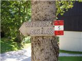 2
2 3
3 4
4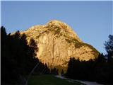 5
5 6
6 7
7 8
8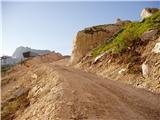 9
9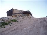 10
10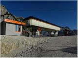 11
11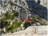 12
12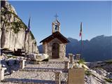 13
13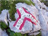 14
14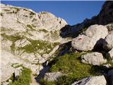 15
15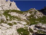 16
16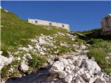 17
17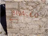 18
18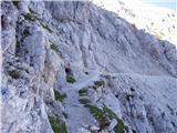 19
19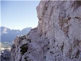 20
20 21
21 22
22 23
23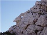 24
24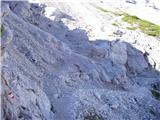 25
25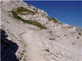 26
26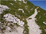 27
27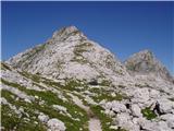 28
28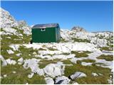 29
29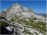 30
30 31
31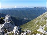 32
32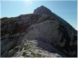 33
33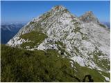 34
34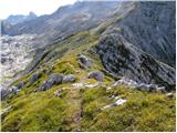 35
35 36
36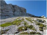 37
37 38
38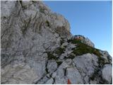 39
39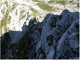 40
40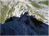 41
41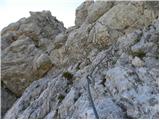 42
42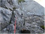 43
43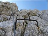 44
44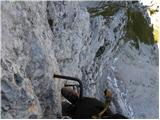 45
45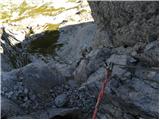 46
46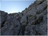 47
47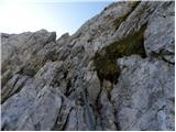 48
48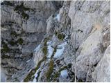 49
49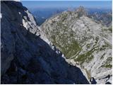 50
50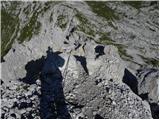 51
51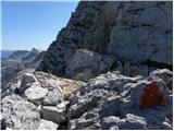 52
52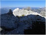 53
53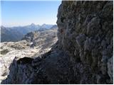 54
54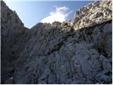 55
55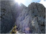 56
56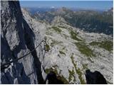 57
57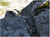 58
58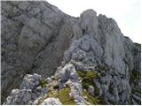 59
59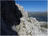 60
60 61
61 62
62 63
63 64
64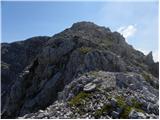 65
65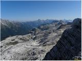 66
66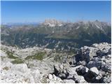 67
67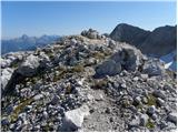 68
68 69
69 70
70 71
71 72
72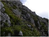 73
73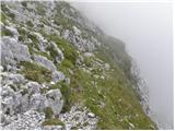 74
74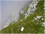 75
75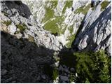 76
76 77
77 78
78 79
79 80
80 81
81 82
82 83
83 84
84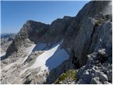 85
85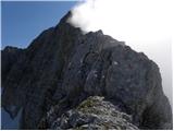 86
86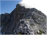 87
87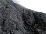 88
88 89
89 90
90 91
91 92
92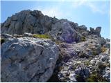 93
93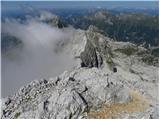 94
94 95
95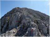 96
96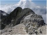 97
97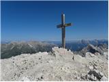 98
98
Discussion about the trip Nevejski preval - Visoki Kanin (Via ferrata Rosalba Grasselli)
|
| matic426. 08. 2011 |
Between Visoki Kanin and Vrh Krnice the markings (triangles) have been newly renovated. Between the bivouac and the start of the climbing section the path is poorly marked. I did the path in the opposite direction: via ferrata Julija to V. Kanin and descent via the described path.
|
|
|
|
| orkan1. 09. 2011 |
Hi, interested in the gondola schedule from Nevejski preval to koča Gilgerti on Kanin, if anyone knows. Lp
|
|
|
|
| Lj1. 09. 2011 |
Until 4.9.11, every day from 8:30 to 16:30.
LpLj
|
|
|
|
| kitina13. 08. 2012 |
On Friday 10.8 I did a circular tour: Nevejski preval, Biv. Marussich, Vrh Krnice, V. Kanin, Dom Petra Skalarja, Prevala, Rif. Gilberti, Nevejski preval. Nice but long! Best regards.
|
|
|
|
| evgenc8. 07. 2013 |
on Sunday after work I would go on that high Rosojanska from bivouac Marušič to Kanin and back via the north face ... has anyone been recently and has any warnings?
best, e
|
|
|
|
| evgenc15. 07. 2013 |
yesterday did a circular route: from the pass in the gullies (Nevejski preval) to Koča Gilberti (cable car not yet running, new path arranged west of the ski slope)), over Sella Bela Peč to Bivak Marušič (occasionally small snowfields), from Bivak Marušič over Vrh Krnice to Vrh Kanina (completely dry, safety gear OK, markings good), descent over the north wall (new safety gear) to Kaninski Led, part of the cables in the wall under the snow!, snowfield to the path over Foran del Muss (ice axe and crampons essential), back over Sella Bela Peč to the pass in the gullies
|
|
|
|
| Jernej96826. 07. 2026 05:55:58 |
On 25.7.2026 my son and I climbed this via ferrata. We slept in the Marušič bivouac. We climbed the entire via ferrata in wind and fog, but at the summit of Kanin the sky rewarded us with sun. The protections and markings are fine. The via ferrata represents a smaller part of the entire climbing route. There is quite a lot of easier climbing without protections. From the start of the route at Marušič to the summit of Kanin it took us 3 hours. We descended on the Slovenian side to Prevalo.
|
|
|
|
| KrEnD18. 08. 2026 21:12:31 |
On Sunday 16.8. I ascended Kanin via this route. It was my first time on Kanin and already at the start I was very pleased, because up to Gilbertija I did not need to walk along the described road, but instead I ascended to it along a wonderful marked path through the forest, which in the final part winds under the prominent wall of Bela peč. The traverse to the bivouac was also exceptionally beautiful. At the bivouac I meet the first people, who were just packing up tents (at Marušič there was literally a camp). The path towards the summit is wonderful, a true mountaineering delicacy. Quite a few easier sections are unsecured, for the psyche the most demanding section for me was where one climbs without protection along a narrow and exposed ridge towards the summit of Kanin. At the summit I am confused, because there is no one anywhere  But this too soon sorts itself out, as is of course fitting for such a day But this too soon sorts itself out, as is of course fitting for such a day  . I descend via Julija (I perceived Julija as a "sporty" via ferrata, the cable is strung across all exposed and steep places). I reach the scree before the crowd starts climbing the via ferrata. The descent across sands and slabs was also beautiful. In the opposite direction it would be considerably more strenuous . I descend via Julija (I perceived Julija as a "sporty" via ferrata, the cable is strung across all exposed and steep places). I reach the scree before the crowd starts climbing the via ferrata. The descent across sands and slabs was also beautiful. In the opposite direction it would be considerably more strenuous  . I also ascend to Bela peč. I highly recommend the visit. Solitude in the midst of bustle. I descend to the valley past Gilbertija along the forest path. . I also ascend to Bela peč. I highly recommend the visit. Solitude in the midst of bustle. I descend to the valley past Gilbertija along the forest path.
If you are an experienced mountaineer (of course this also applies to experienced female mountaineers), I highly recommend such a circuit. Personally I believe that the ascent via Rosalba Grasselli surpasses the ascent via Julija in beauty, and you also avoid "Julija's sand" .
Two more notes:
- soon after the start of the ascent along the cables an old cable anchor misled me from the correct path, falsely directing me onto a ledge to the left instead of correctly towards the ridge.
- during the descent from the first summit one must at the end descend somewhat along scree, which at least for me was not entirely intuitive. Above all it is necessary to follow the red triangles. There are really many of them, they follow one another at 5-20 meters.
|
|
|
|
| jbs19. 08. 2026 13:32:34 |
Nice, although such a post would fit better under the forum Conditions (Kanin), where you can also add some photo I was there on Friday, 14. 8. I agree with both notes, I also went too fast forward at the old cable anchor point, and it was quite annoying to go back. Also, the descent at the saddle over scree I was looking for a bit.
Otherwise, for me personally the most mentally annoying was the descent over the plates from Vrh Krnice. I also thought about going back via the Julia via ferrata, but I rather did a loop on "our" side through the window.
|
|
|
|
| KrEnD19. 08. 2026 22:38:41 |
I'm new to the forum. Next time I'll post a similar entry under "conditions". Thanks for the comment .
The descent over those slabs is completely safe anyway, friction holds as the slabs are not "worn out" or are nicely rough (so you can't slip in dry conditions, but it's mentally taxing to go only on friction). It seems to me that the route setter was a bit "mischievous" when routing the path there. I couldn't imagine a better reason than that the route setter liked the slabs . But they can be easily bypassed on the right. Precisely because of the passage over the slabs it didn't make sense to me why it's necessary to go down to the sand. I thought the route setter wanted to maintain height and that the passage towards Kanin would therefore be higher.
|
|
|
To post a comment you must log in:
If you do not yet have a username, you must first
register.